
About the E5 in France,
where we found accomodation
and what we ate.
Around 2000 kilometers of the 3000 kilometer long European long-distance hiking trail E5 run through France. This means that two thirds of the E5’s entire route takes you through a selection of different regions of France. This section of the trail is not only beautiful, but also very varied and there is something for all hiking enthusiasts: from coastal paths to forest trails and mountain stages.
For all those who would like to experience a bit of the E5 in France, I offer here an overview of exactly where it runs, how we planned our overnight stays and stages and what we ate and drank along the way.
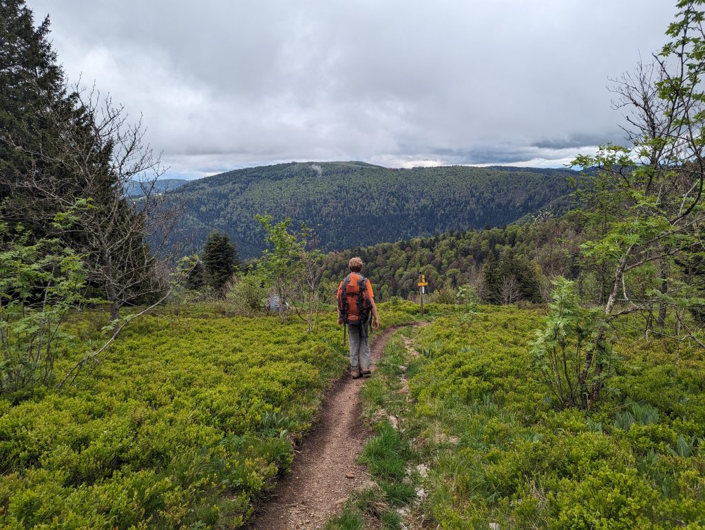
Route
[osm_map_v3 map_center=”autolat,autolon” zoom=”autozoom” width=”100%” height=”450″ file_list=”https://mmaroundtheworld.eu/wp-content/uploads/2025/02/europaischer-fernwanderweg-e5-frankreich.gpx” file_color_list=”green” file_title=”E5 Frankreich Waymarkedtrails”]
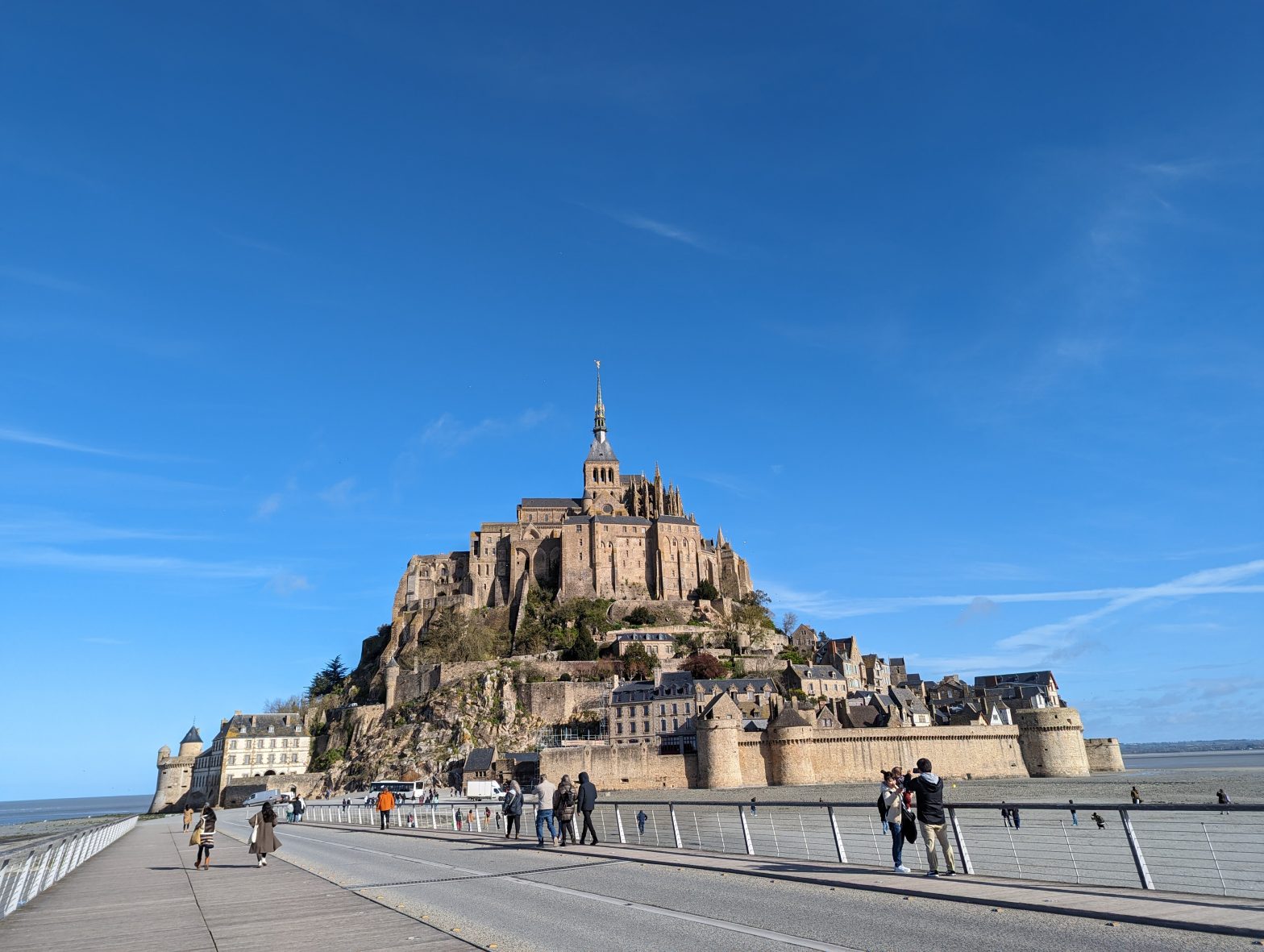
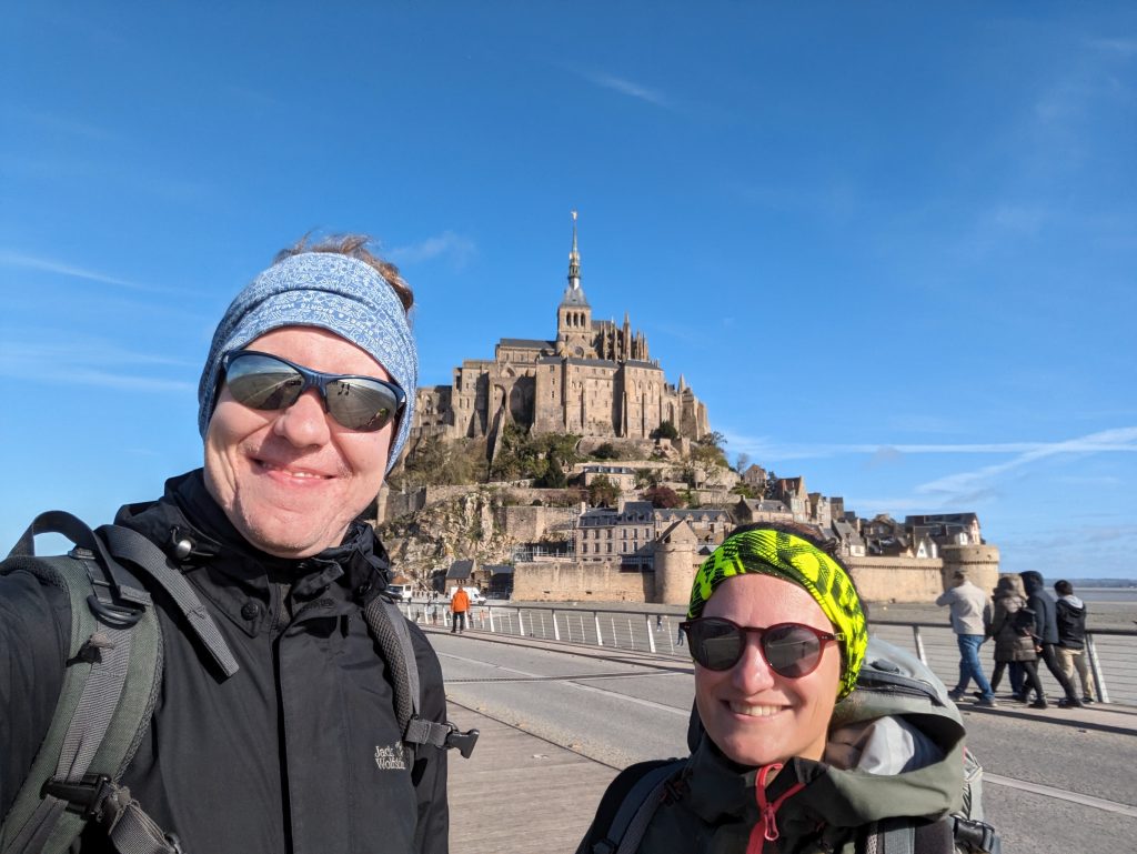
The E5 starts at the Pointe du Raz and first leads along the customs officers’ path along the coast of Brittany, before crossing the interior of Brittany, along the Canal de Nantes a Brest and through the legendary Foret de Broceliande back to the coast of Brittany in Saint Malo, where it meets the customs officers’ path and leads along it to the monastery island of Mont Saint Michel, which is well worth a visit.
From there, the route leads through the interior of the country and through several national parks full of forests via Versailles to Paris, where along the Seine it leaves Paris heading south to the famous outdoor destination for all bouldering fans, the Fontainebleau Forest.
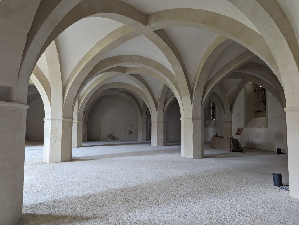
Further along the Seine it leads straight into the charming Champagne region with excellent food and, of course, delicious champagne. From here, it follows pilgrimage routes, including the Jeanne d’Arc trail and the Via Francigena, past the Abbaye de Clairvaux monastery complex, which is well worth seeing, to the Lac du Liez.
Through beautiful rural countryside it reaches Remiremont, from where the route leads straight onto the first mountain stages into the Vosges. From there, it is only a few days’ walk to either Basel, from where the Via Rhenana runs along the Rhine, or to Lucelle, where the E5 officially ends in France.
Which paths/ markings/ GRs does the E5 follow?
The E5 is only signposted as “E5” in very few places in France. Instead, it follows existing hiking trails, mostly the major French hiking trails, the GRs (Chemins de Grandes Randonnées).
Below you will find a list of which sections of the E5 follow which GRs and which stages on our E5 route this corresponds to:
- GR® 34: Point du Raz (Finistère) – Pentrez-Plage (Finistère), Stages 1-3
- GR® 37: Pentrez-Plage (Finistère) – Etang de Néal (Côtes-d’Armor), Stages 4-20
- Liaison GR® 34 – GR® 37 : Etang de Néal (Côtes-d’Armor)- Saint-Malo (Côtes-d’Armor), Stages 21-22
- GR® 34 : Saint-Malo (Côtes-d’Armor) – Mont-Saint-Michel (Manche), Stages 23-26
- GR® 22: Mont-Saint-Michel (Manche) – Paris, Stages 27-45
- GR® 2: Paris – Mussy-sur-Seine (Aube), Stages 46-57
- GR® 703: Mussy-sur-Seine (Aube) – Abtei von Clairvaux (Aube), Stages 58-59
- GR® 145: Abtei von Clairvaux (Aube) – Perrancey-les-Vieux-Moulins (Haute-Marne), Stages 60-63
- GR® 7: Perrancey-les-Vieux-Moulins (Haute-Marne) – Ballon d’Alsace (Haute-Saône), Stages 64-72
- E5: Ballon d’Alsace (Haute-Saône) – Basel, Stages 73-75
Here are two more notes on the route:
Officially, the E5 runs differently in Paris, heading east out of the city rather than south along the Seine as we did. However, we studied the maps for a long time and couldn’t quite figure out where it runs exactly, which is why we ultimately decided to simply follow the GR2, a very beautiful hiking trail.
The situation was similarly confusing in the direction of the Swiss border, where from the Ballon d’Alsace onwards you can find information such as “E5 en propre, non supporté par un GR national”, which means something like “E5 self-laid, not supported by a national GR”. We have found relatively few sources where exactly this dubious self-laid E5 is supposed to run. In addition, the question arose as to what we would do as soon as we crossed the Swiss border at Lucelle, because in Switzerland the E5 officially starts in Basel, which is about 35 kilometers further northeast. After some back and forth, we ultimately decided to skip Lucelle and follow the E5 along local hiking trails for the section between Ballon d’Alsace and Basel itself.
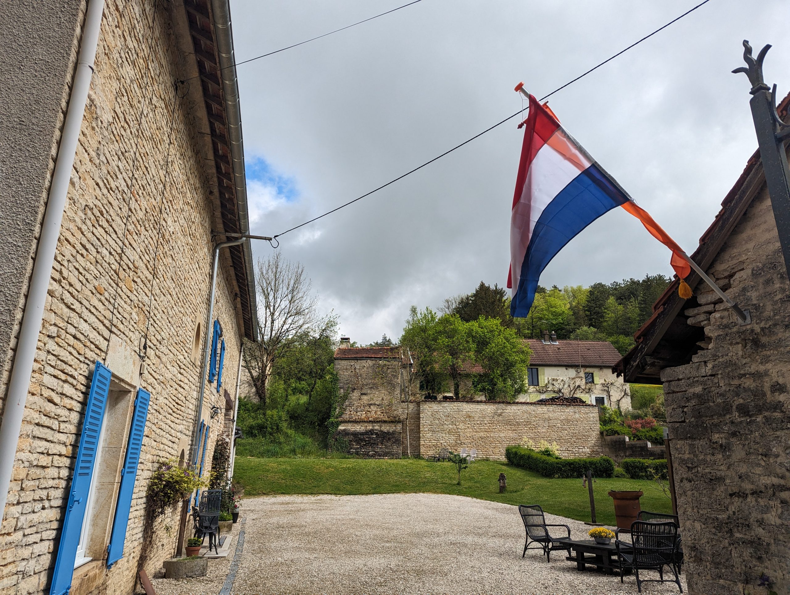
Accomodations
We usually tried to book our accommodation at least one or two nights in advance. However, in national parks or areas where it was difficult to find accommodation, we sometimes booked a few nights in advance so that we could adapt our routes accordingly and avoid having to sleep in a bivouac.
Our first point of orientation (What is there? Where is there anything at all?) was Google Maps, on which we imported our route as a GPX file, so that we could always see whether there was accommodation along the way or at least nearby.
After figuring that out, we then used smaller and larger platforms to book and find accomodation – you can find a list here:
But in principle we didn’t usually have much choice, because when hiking it is important that accommodation is directly or close to the route and that the distances between accommodation are feasible as a daily stage.
Stages
The stage planning was a combination of accommodation options and corresponding route planning. For the most part, it was no problem to follow the original E5 route, but in some national parks the accommodation options were so few and far between that we had to change our plans a little. On average, we hiked 25 kilometers a day, but the length of the stages naturally varied depending on how we felt during the day and where we were staying overnight.
Provisioning and getting supplies
“We’re hiking through the middle of France, so getting food won’t be a problem!”, we thought, and we were a bit wrong. Sometimes we didn’t pass through a town with a supermarket for days on the way, which means a word of warning at this point: getting food does require a bit of planning.
Pharmacies and supermarkets are not always open in France, and we sometimes passed through places that were deserted on public holidays. So be sure to check in advance whether the supermarkets along the way are open on the dates and times you pass them. It’s similar with pharmacies, which are often open at lunchtime, so you even have to check when they are open during the day.
We always took food with us, which was good because restaurants in France are often only open at lunchtime and in the evening and it takes a lot of timing and planning to make it past a restaurant at lunchtime.
Useful Links
- Official route of the E5 in France on the website of the European Ramblers’ Association: https://www.era-ewv-ferp.org/de/e-paths/e5/e5-in-france
- The course of the E5 on waymarked trails: https://hiking.waymarkedtrails.org/#route?id=300393&map=3.0/41.973/3.5795