
Route 66 – part 1
from Chicago, Illinois to Lebanon, Missouri
Wednesday, 18.10.2023
Route 66 – off we go!
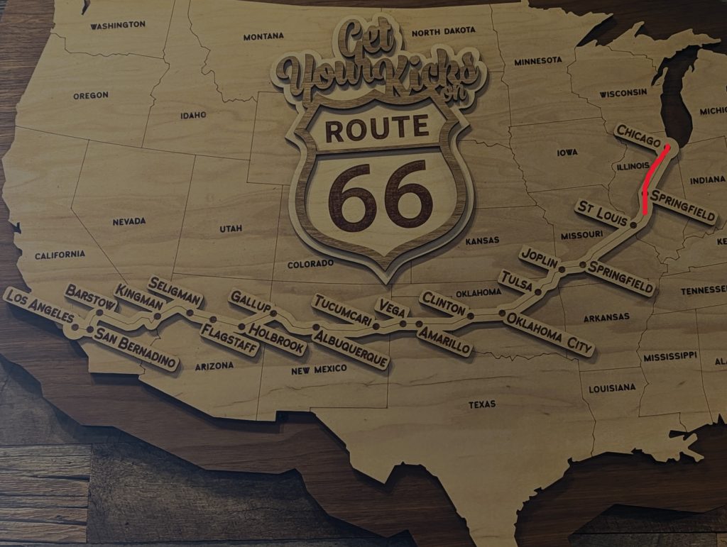
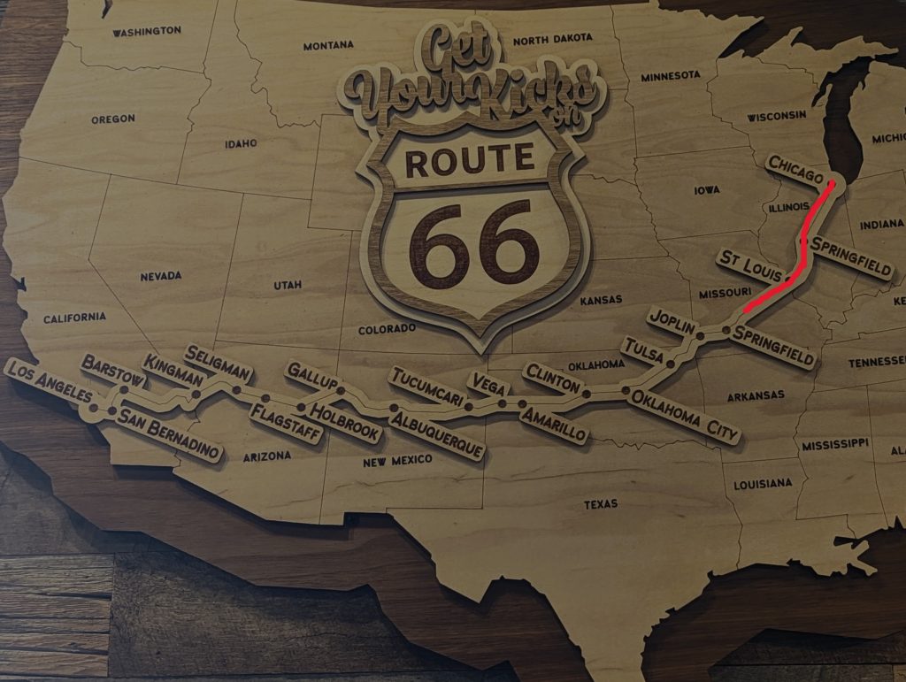
Our road trip on the 2448 Meilen/ 3940 km from Chicago to Los Angeles through the USA
Chicago, IL – Carlinville, IL (250 Miles/ 400 km)
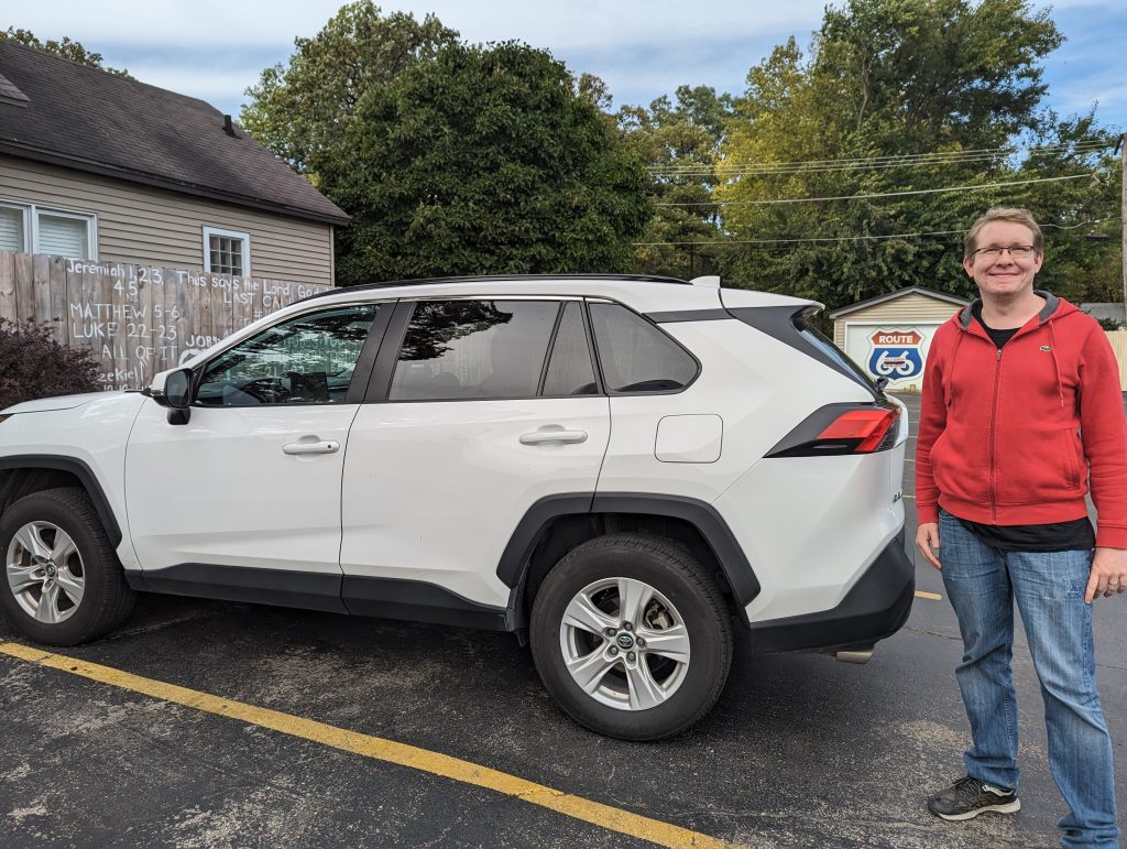
- One last huge breakfast of waffles and omelettes at the hotel, and off we go to the car rental office.
- This time everything goes smoothly and the car rental team is in a good mood – no wonder, they have a direct view on the loop.
- When we book, the first question is “You’re doing route 66?”
- One of the team asks us where we are from and we tell him about Munich and the Oktoberfest: he is enthusiastic and asks if we can name him a typical dish from Munich.
- We tell him about Weißwurscht and he googles it straight away (although I warn him that they don’t look that appetizing in the photo, but taste good anyway), and while he himself says “Mmmh, looks good”, his colleagues only react with raised eyebrows when he shows them the picture – “I told you”, I say and for some reason we start laughing like crazy until another customer comes in and a little more professionalism returns (a shame).
- Song “I’m fat, fat, fat…” describes our car – a white SUV, but not a Chevy Schüssel (a Toyota instead).
- Off we go to the starting point of Route 66, which after some research we identified (we think).
- It’s not so easy to say that there is THE starting point of the route; there have been several over different periods, just as the route has changed again and again over the course of time – see this blog entry for more details.
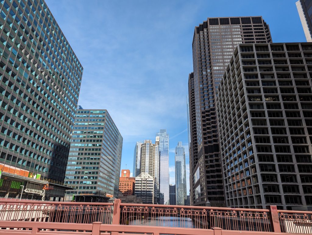
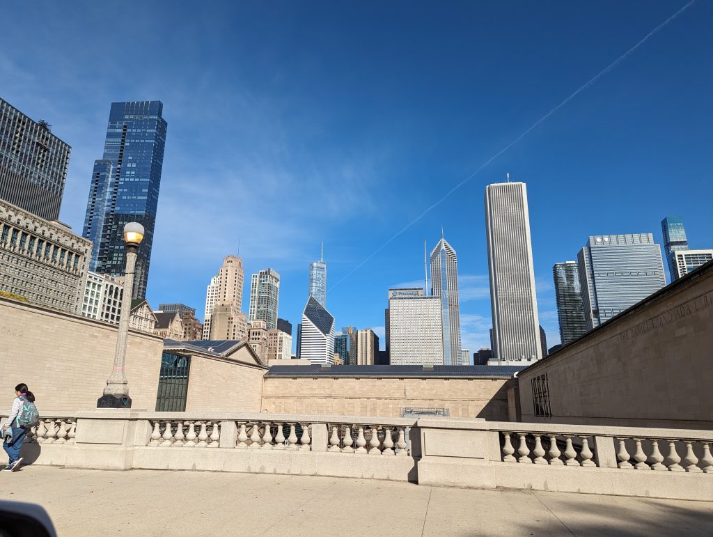
- To be on the safe side, we drive to all the starting points, which are not far apart anyway, before we wind our way out of the city in the surprisingly quiet Chicago traffic.


- In the meantime, our talking hands meeting starts, which we log into and participate in from the car, which works quite well as we mainly have to drive straight ahead and I don’t have to give Matthäus too many instructions.
- Speaking of navigating – a typical navigation situation looks like this (it happens to us more than once): Matthäus is driving, I am navigating: Matthäus, “Do I have to turn soon?” Me (surprised): “Yes, now!” – poof, missed it.
- We soon leave the Chicago suburbs, pass through places like Romeo and Joliette and see towns so small that one of them only has a “Village Hall” instead of a “Town Hall”.
- There are several kitschy and sometimes obscure roadside attractions along Route 66, one of which is the Gemini Giant, where we take an obligatory photo and also take a photo of a random guy driving Route 66 in a fancy caprio like car – at his request with his cell phone camera.
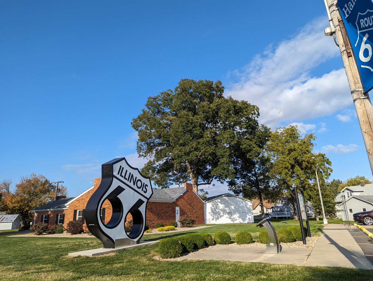
- There is no lack of signs that say “Route 66”, including some small brown signs indicating the route through Illinois.
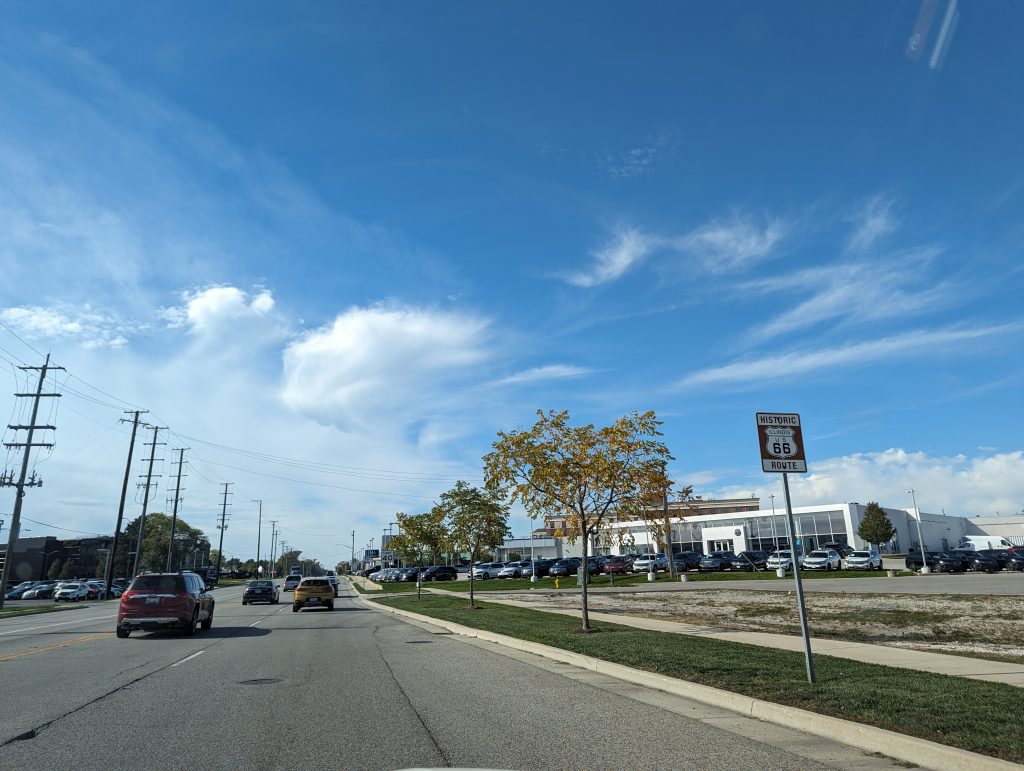

- When we start to get hungry, we look for a diner and voila: We find one of the few surviving small, family-run diners, located directly on the road and relying entirely on its Route 66 customers.


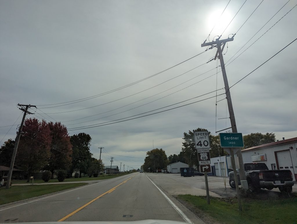
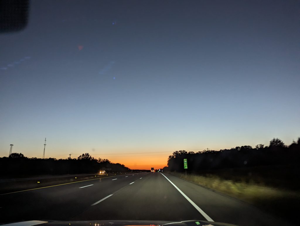
- A large part of Route 66 is on old roads that run directly alongside the interstate and are now used as frontage roads – at one point there is also a warning “No access to the interstate” and no direction or anything else is indicated, which makes you feel a bit lonely after driving along for a while. “Wow”, I say to Matthäus as we speed along one of these to the soundtrack of “I would walk 500 Miles”, “a real road trip feeling comes up and you feel completely alone, we have the road all to ourselves”, Matthäus responds: “Except that the Interstate is right there”, pointing to the fat five-lane Interstate next to us.
- We see an Amtrak passenger train! Which really is an incredible sight…

- We also pass the hotdog guy, a huge statue of a guy holding an equally huge hotdog.
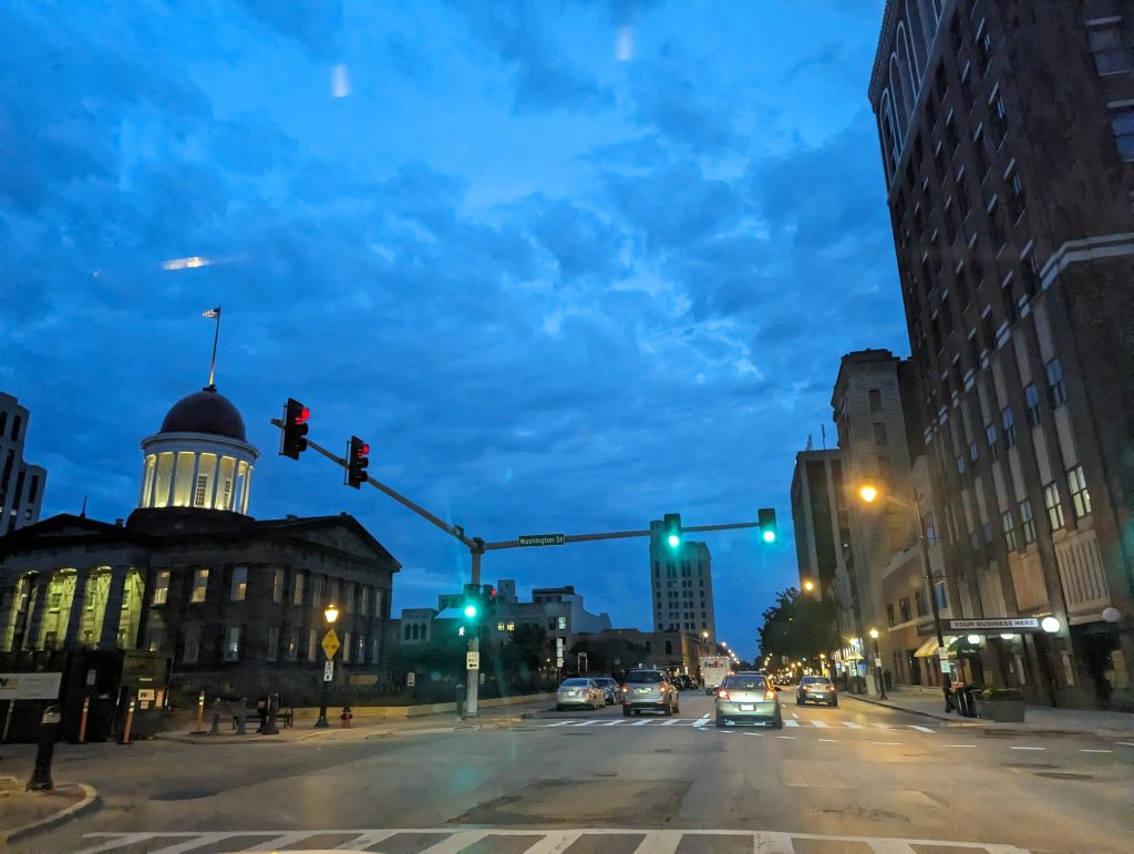
- When it is almost dark, we make our way through Springfield, Illinois, where Lincoln is in the center of attention and where everything seems to be dedicated to him in one way or another.
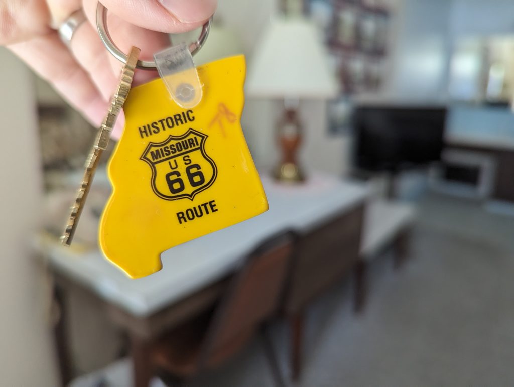
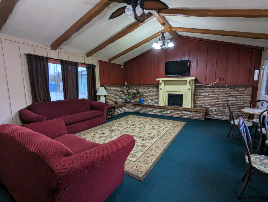
- As we are already getting tired, we look for accommodation for the night and quite by chance find an old motel in Carlinville, which is in real Route 66 style and immediately gives us that nostalgic Route 66 feeling.

- There’s no one at reception when we arrive, but there’s an old telephone (with a dial) next to reception that says “Please lift the phone receiver for service”, which of course I do, causing it to ring loudly and the receptionist to appear – “Wooow, cool”, I say enthusiastically, making the receptionist (and myself) laugh.
- In the evening we plan the next stages with the historic66 turn-by-turn description, I read out: “Continue straight on MO-17”, Matthäus: “Wtf, there’s Highway 17 and MO-17 and that’s not the same – Highway 17 leads somewhere!”
- Later that evening and a few beers later: I mix up Westbound and Eastbound and therefore send us back the same way, “Funny, that looks so familiar…”
- Miami appears on the map: Matthäus: “Yes, I’ve been saying that all along!” I: “What?! In Miami, as if!” Matthäus dryly: “Thank you for believing that I’ve managed to land in Miami, Florida on my navigation app.” – Turns out there really is a Miami, Missouri (pronounced Mi-ah-ma).
- We reach Oklahoma City during our planning and are amazed by the creativity of the street names, “A Street, B St, E St, 120rd St, 130 Road, US-66, etc. etc.”.
Thursday, 19.10.
The Gateway Arch and “It shows you… nothing.”
Carlinville, IL – Lebanon, MI (450 Miles/ 720 km)
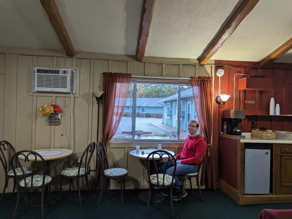
- Once again, we get up early to catch as much daylight as possible and treat ourselves to the mini muffins – each individually wrapped in plastic wrap – and the filter coffee that our motel provides for breakfast.
- Off we go on the last section of Route 66 through Illinois, which takes us to Saint Louis and the Gateway Arch.
- But first we take a short detour (which is an experience in itself) to the Old Chain of Rocks Bridge, which Route 66 originally crossed, but which is now only open to pedestrians and cyclists as its 22 degree bend has caused a number of accidents and crashes.
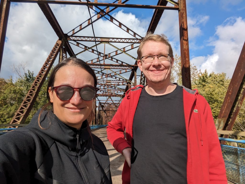
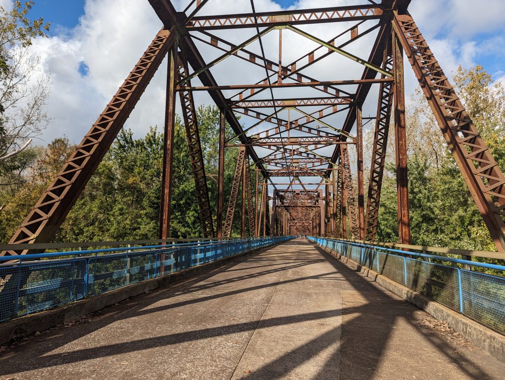
- The 1 mile (1.6 km) long bridge over the Mississippi is still worth a visit and we naturally want to see the infamous inclination that caused so many accidents for ourselves.
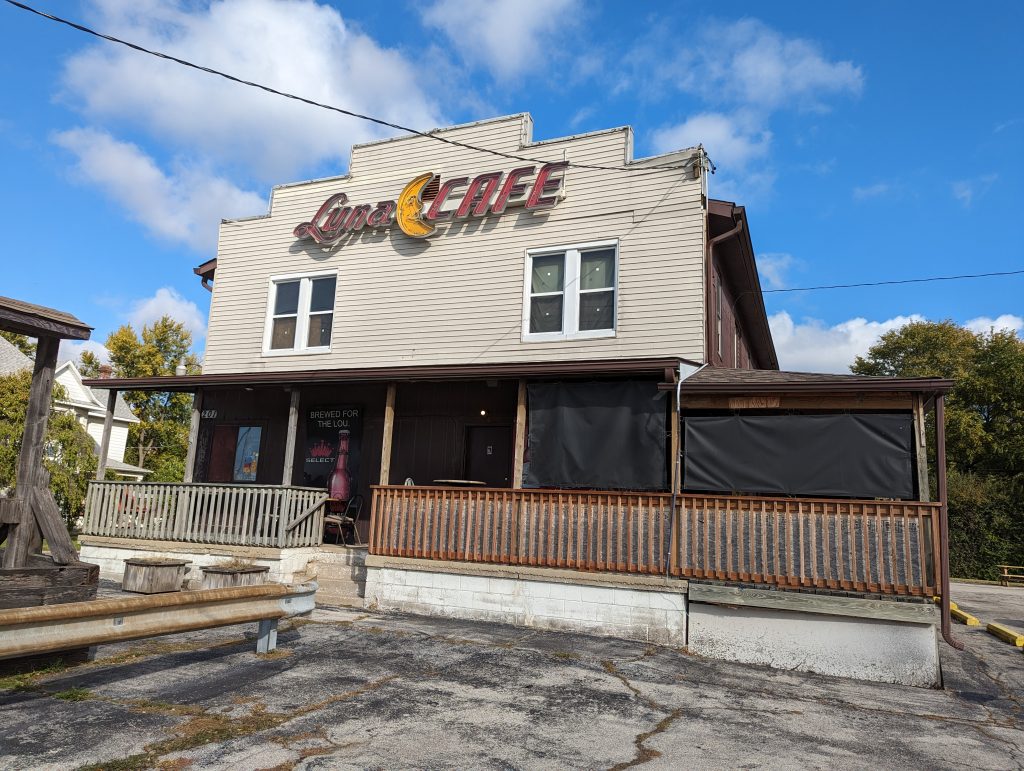
- The way there leads us through the even more notorious and once very dodgy district (we’re not quite sure: suburb of Saint Louis or a town in its own right) of Granite City, where the Luna Café, a bar and meeting place for shady characters, is apparently still open.

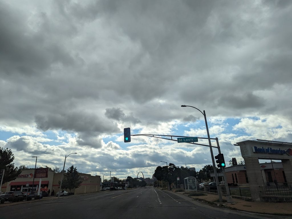
- We reach the city of Saint Louis, catching glimpses of the Arch, which towers 192 meters above everything else – a worthy sight.
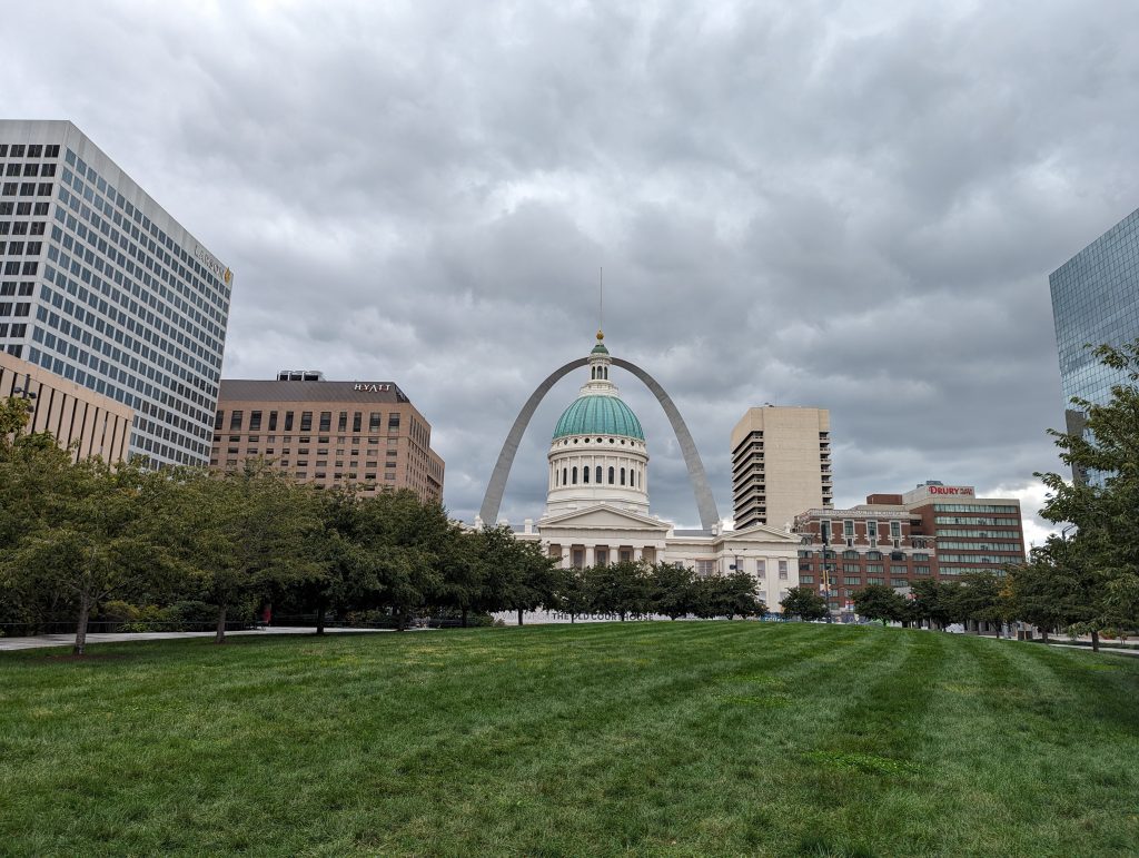
- We park right next to the park surrounding the Arch and still have a little time (we reserved a time slot last night) – so we take a look around Saint Louis.
- We stroll past the Court House through downtown and then sit down in a café that doesn’t have coffee but does have very tasty sandwiches.
- I am looking for the bathroom: it turns out to be a challenge to find it – after wandering through the parking garage and going up and down the elevator about three times, I finally find the reception desk, where a lady kindly takes pity on me and shows me where it is located.
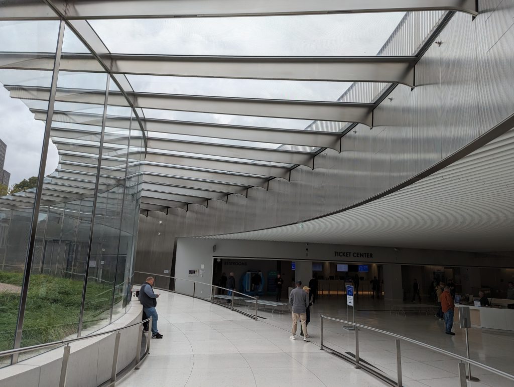
- Finally the Gateway Arch: Here we queue up for the “elevator”, which is an ingenious system. As the Arch has an incline everywhere and describes a kind of parabola (not quite) (for all math enthusiasts: see the formula in the picture below), it is difficult to simply install an elevator, as the incline would cause you to fall over and hit your head.
- The engineers have therefore come up with something special: The lift is a kind of sphere that rotates slightly with the incline and can be rotated inside (independent from the outside), so that you are always seated horizontally. The only drawback: it comes in slightly claustrophobic dimensions.

- Thank god the engineers have also managed to ensure that the elevator only takes 7 minutes to go up.
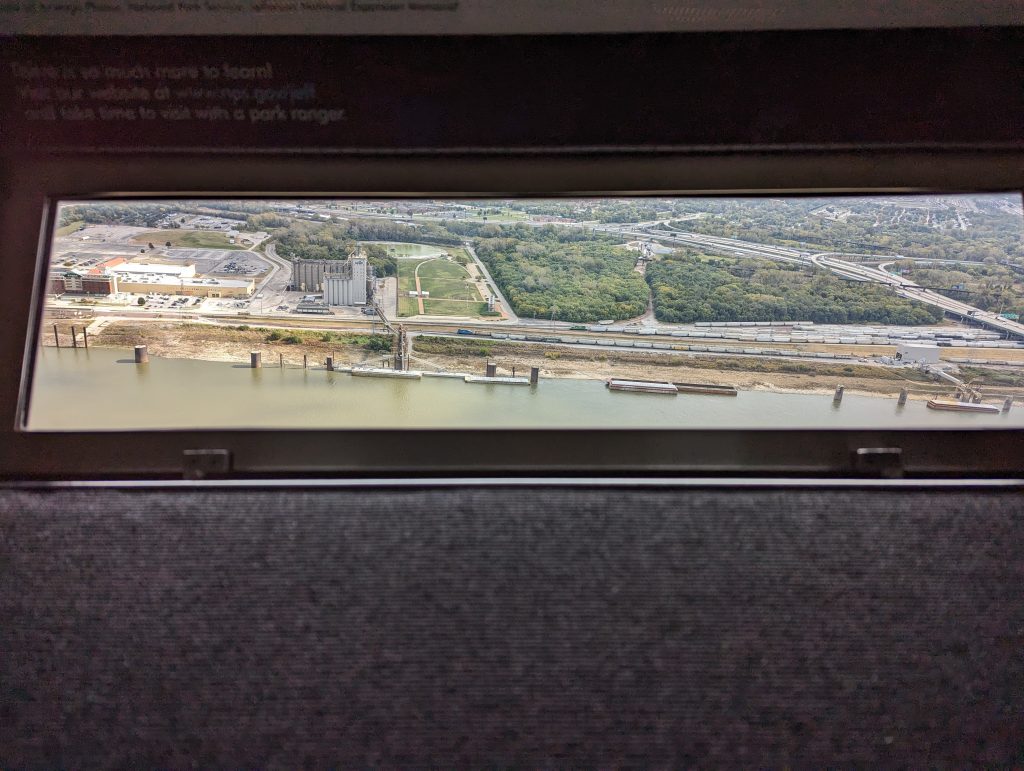
- Once at the top, we look down through the tiny little windows, which, fascinatingly, you can still see very well from below – it’s great, you can even look down almost vertically.


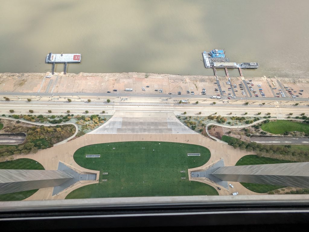
- So here we are looking west, towards California, towards the more than 2000 miles of Route 66 that still lie ahead of us.
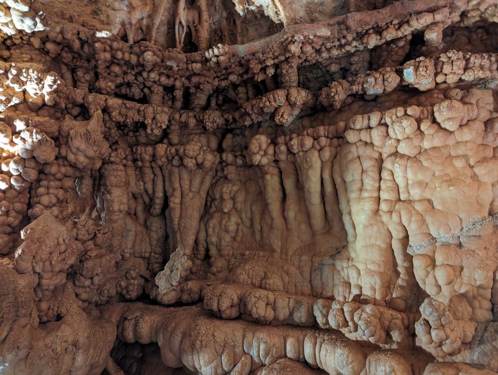
- We soon continue on the route. It’s not long before we reach Stanton and the Meramec Caverns, which have been advertised for a long time – with not exactly inconspicuous signs – and are still a popular excursion destination for families and adventurous people.

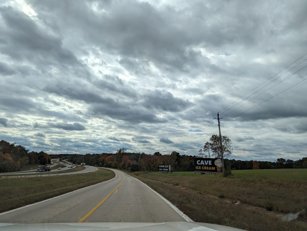

- Of course, we cannot resist, so we take the turn in the direction of the Caverns.
- Once there, we are surprised by the size of the Caverns: there is a whole collection of stores, almost a shopping center, and a huge concert hall, which is currently being set up for a concert taking place tonight.
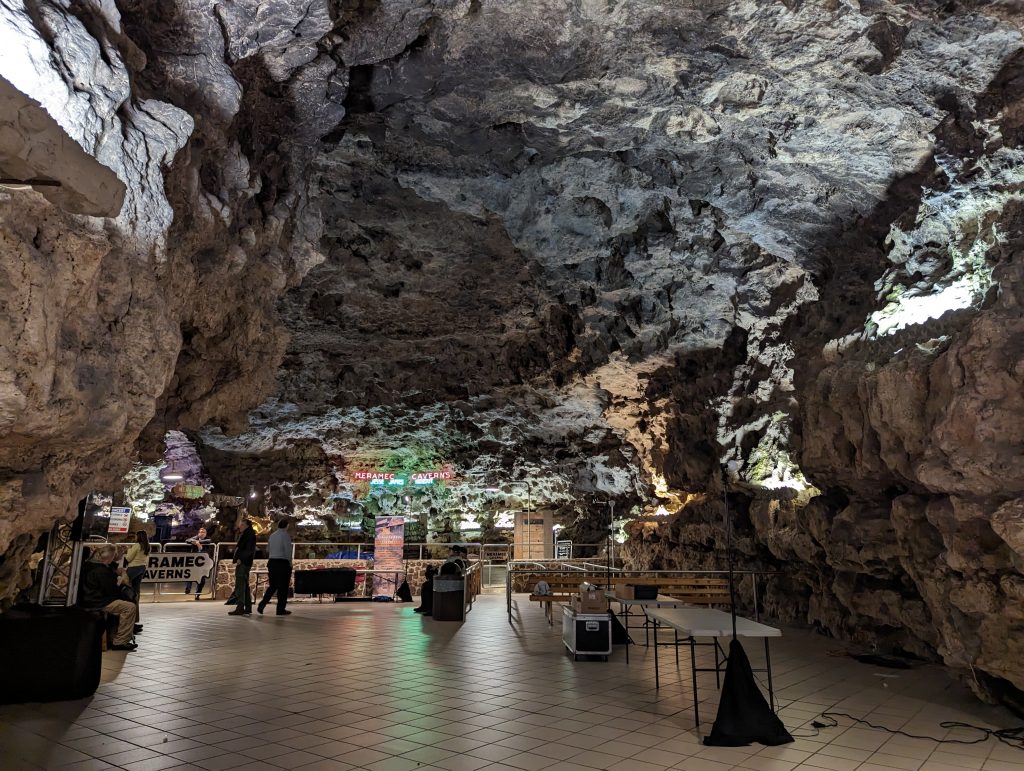

- The absolute highlight, however, is the cave tour and especially our guide.
- Sam looks like he could be descended from Vikings, is muscular, tall, has super fuzzy hair and an equally fuzzy and long beard and makes me and most of the others laugh at intervals of about two minutes.
- The start is already great: right at the entrance there is a Foucault pendulum, which I am immediately impressed by and start asking Sam questions about it: “This Foucault pendulum was constructed by students”, Sam tells us, “and apparently said students made a mistake with the weight by one decimal place, which makes it unique”, Sam continues, “it is the only Foucault pendulum in the world that doesn’t work. It swings around for an hour and then it stops and it shows you …. Nothing!”
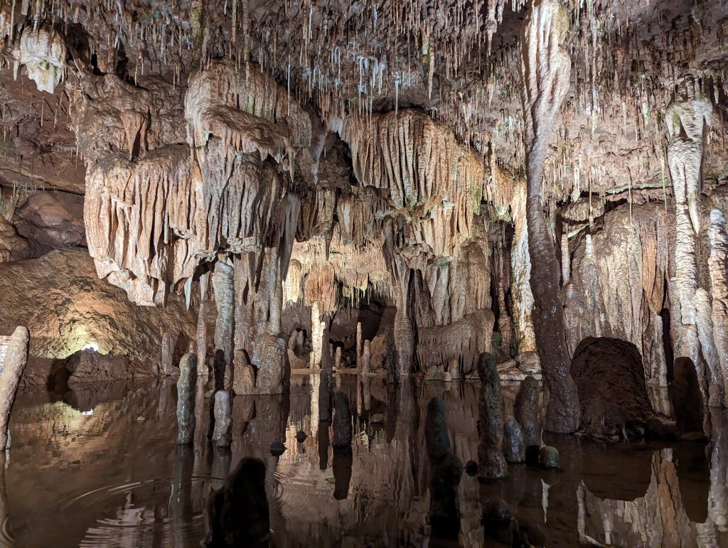
- The cave is made of limestone and dolomite (dolomite is also made of carbon like limestone, but mixed with magnesium, which makes it stronger and more durable), which is why such large caves could form in the first place and also explains why there are no stalactites and stalagmites at the entrance.
- Sam explains that there are methods to determine the age of stalagmites, the thorium-uranium method, which has shown that some of the stalagmites in this cave are very, very old (whatever that means for caves or geological formations).

- A woman asks Sam, pointing to white salt deposits: “Is that ice?” Sam looks at her a little dumbfounded and then says: “No; do you know what temperatures ice needs to form and also, do you see the water over there?” The woman undeterredly replies: “Ah, but with all those freakish things going on – you never know.” To which Sam replies: “All those freakish things follow the laws of physics.”
- To emphasize this, he adds: “Take Tic Tacs, for example. You can label them ‘sugar free’ because they are less than a gram, but that doesn’t change the fact that they are pure sugar.”- Well, that, for sure, is only possible in the USA…

- Finally, of course, there is a light and sound show, which Sam announces: “In 40 seconds the light show will start and there is nothing I can do to stop it.”


- This one is a particularly patriotic edition, with American flags waving everywhere all the time – so afterwards I say to Matthäus: “Well, that was something, this show…”, Matthäus: “the grande finale”.
- We continue through the town of Cuba to a gigantic rocking chair – another roadside attraction.
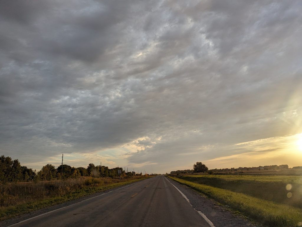
- And then on along Route 66 towards a beautiful sunset.


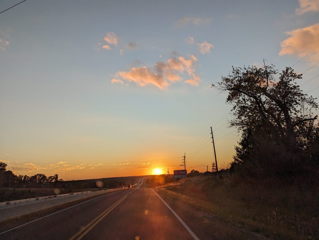
- Finally we reach Lebanon, Missouri, with its famous Munger Moss Motel from the 1940s, a Route 66 legend, where we spend the night.