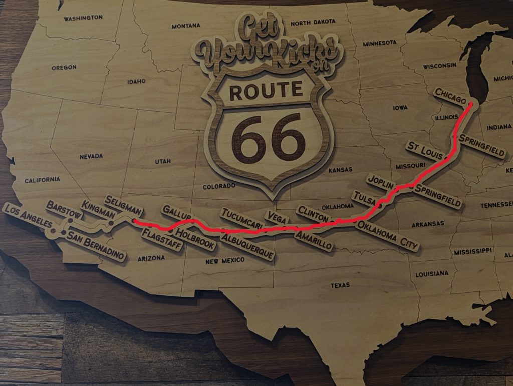
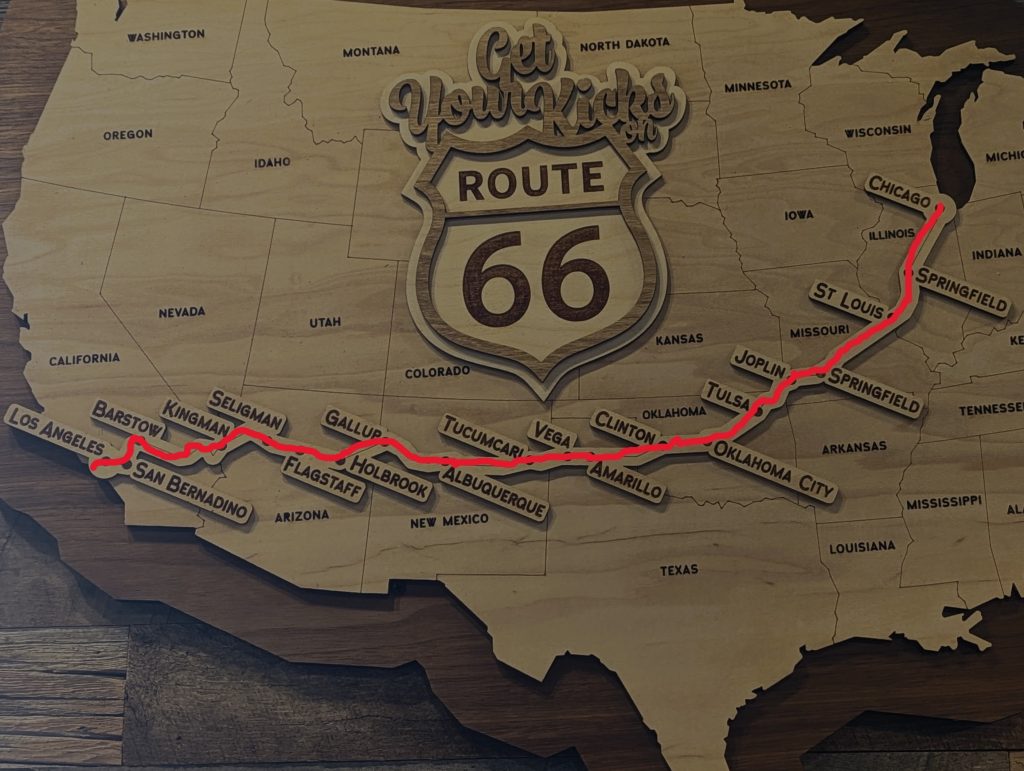
Route 66 – part 5
from Holbrook, Arizona to Santa Monica, California
Thursday, 26.October
Greetings from outer Space, The Eagles and Cars
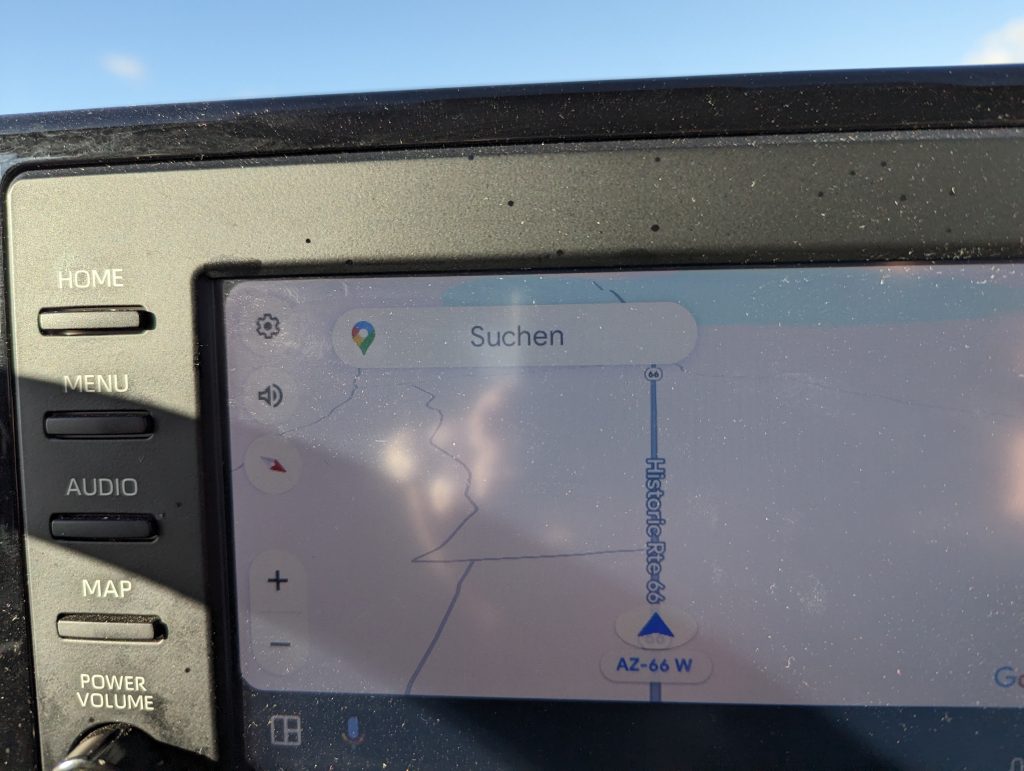
Holbrook, AZ – Seligman, AZ (1970 Miles/ 3152 km)
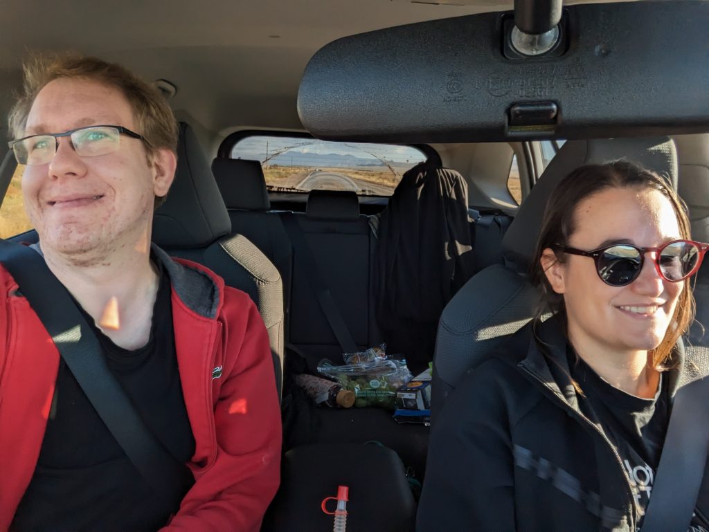
- We wake up in our tipi at 7am and are wide awake and ready to go thanks to the time difference (2 hours due to daylight saving time).
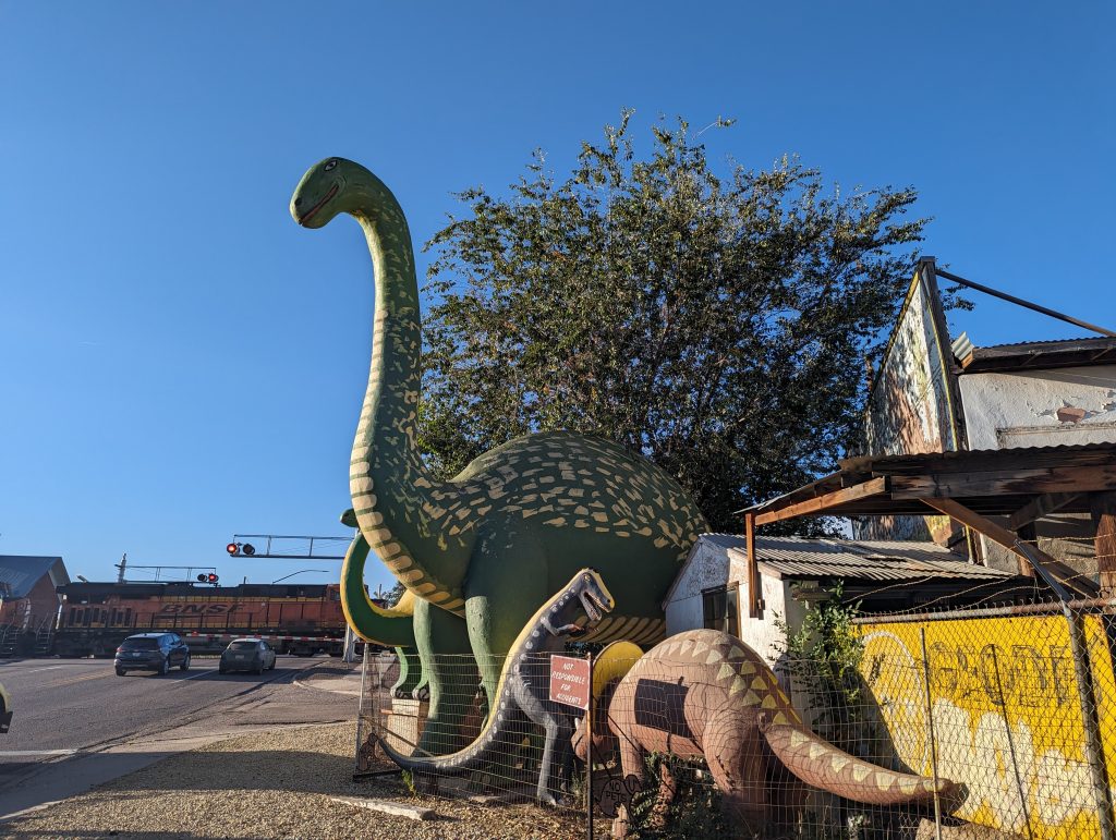
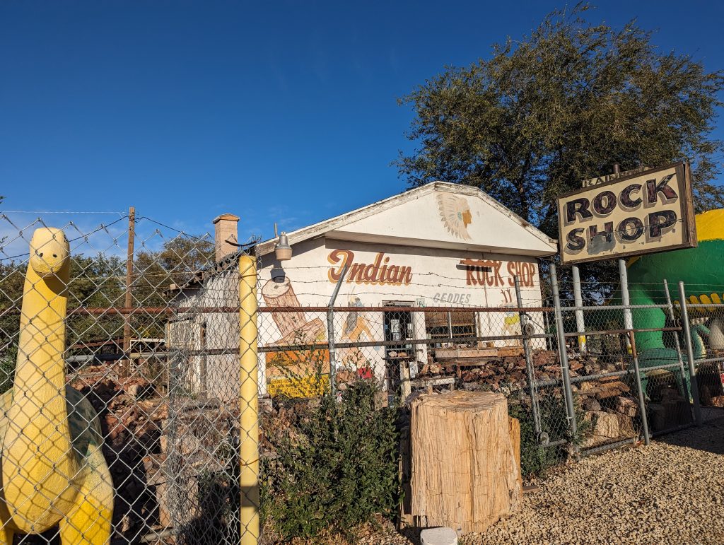
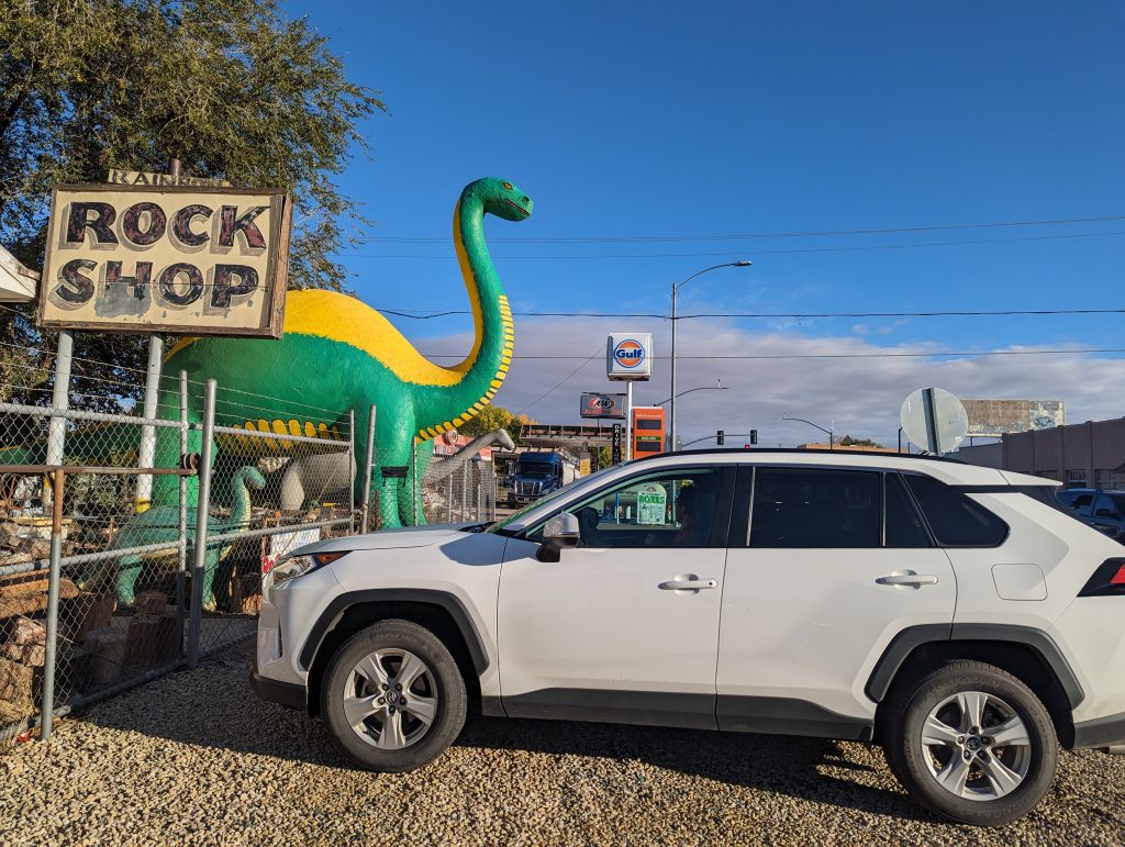
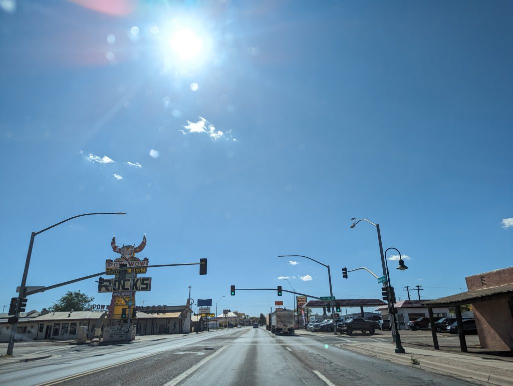
- We set off through the Route 66-obsessed town of Holbrook, where there are dinosaur statues on every corner, especially in front of a store, the Rock Shop, which has put them up to make the store more attractive- it works well considering that we drive past because we want to see the dinosaurs (the store is closed though).
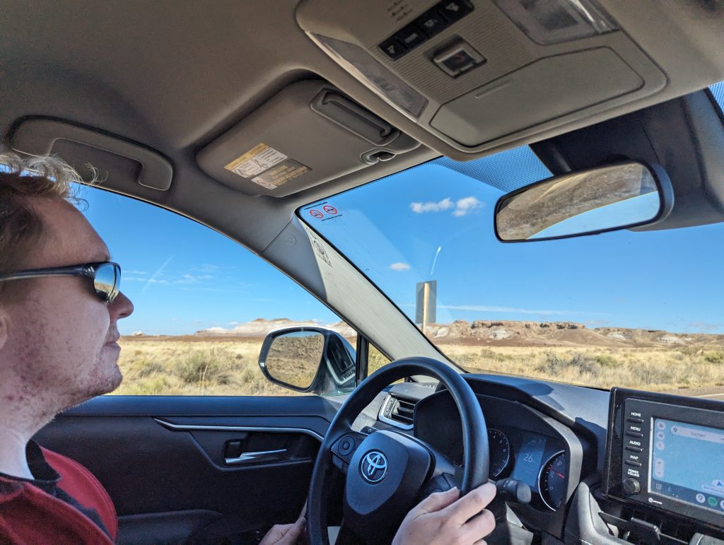
- After buying some groceries at Walmart, we set off in the direction of Petrified Forest National Park. About halfway there we notice that we forgot to get gas and now the fuel gauge shows that we still have “90 miles remaining” – sounds like a lot, but especially on the interstate, we also need a lot.
- Nevertheless, we drive to the park entrance, show our America the beautiful pass, which has really paid off, and set off along the typical road that leads right through the national park from one parking lot to the next.
- By now, we’re almost true American national park tourists, which means that we start taking photos out of the open car window at the parking lot instead of getting out of the car….
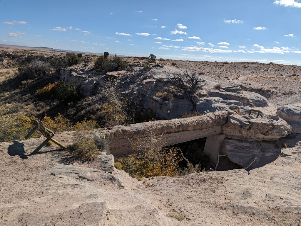
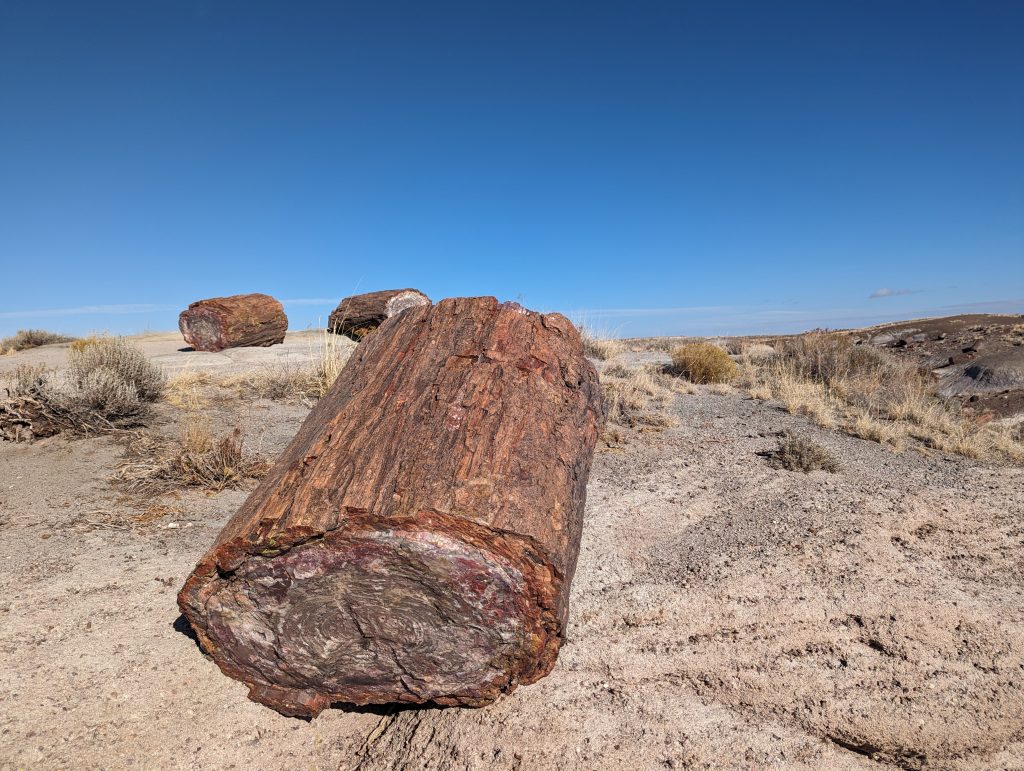
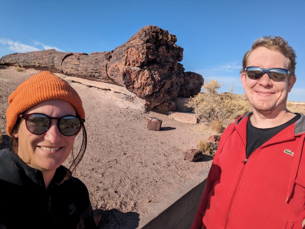
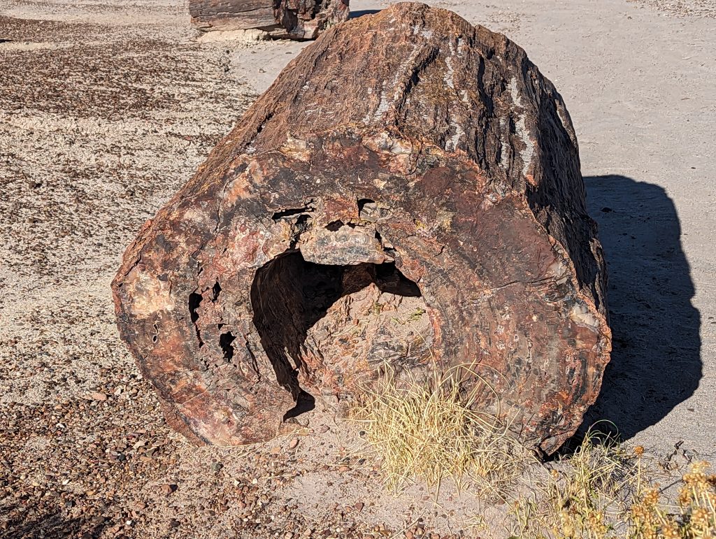
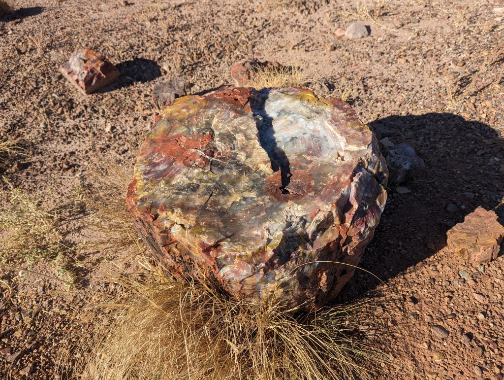
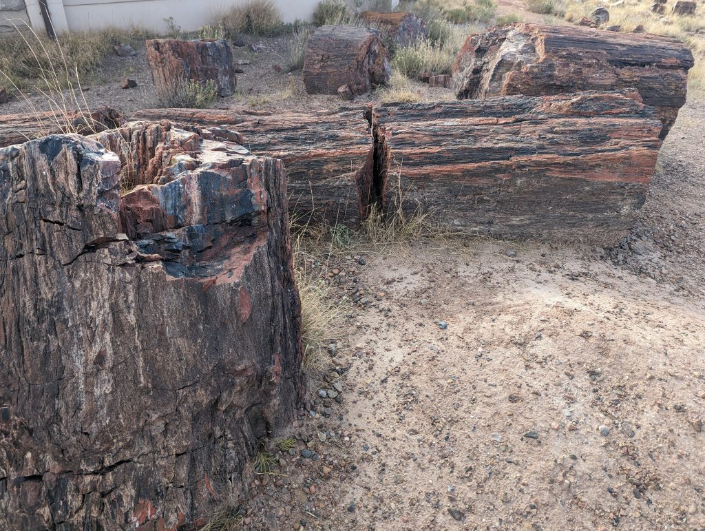
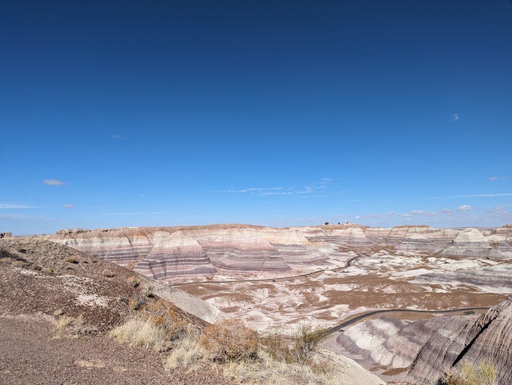
- At least, we do two short laps (on foot, that is, just to be clear) through landscapes where you can see petrified trees lying around, which is very impressive.
- It’s fascinating how the structures of the wood are preserved, so that the tree trunks look like wood until you see their insides, which shine in all sorts of marble-colored tones.
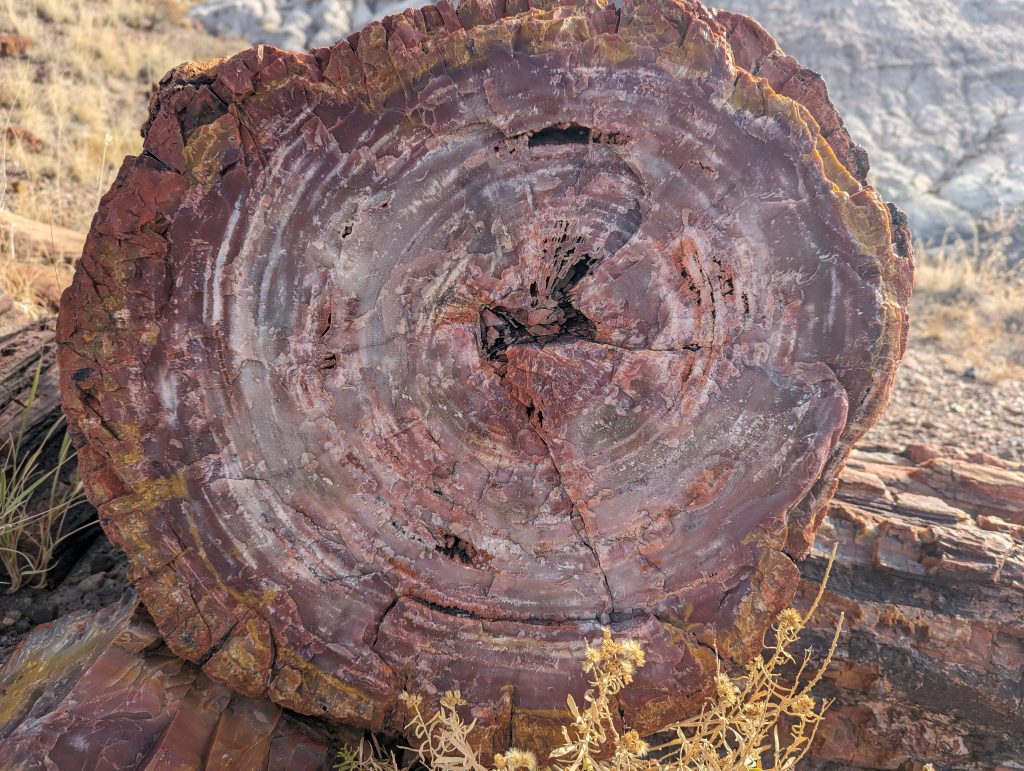
- We learn how the fossilized trees were formed: Around 218 million years ago, the trees stood on a river bed. Trees that had fallen over and been swept away by floods came to rest in the riverbed and over time the tree trunks were buried under a layer of mud and sand due to erosion – especially during floods. This layer had a preserving effect on the wood and thus kept the trunks in their original form. Water containing minerals repeatedly flowed through the layer and thus also through the wood, which stored the minerals that then turned from wood to stone over millions of years. Due to the mud layer and the preservation process, the minerals then took on the exact shape of the wood grain, which means that the tree trunks still look as if they were made of wood.
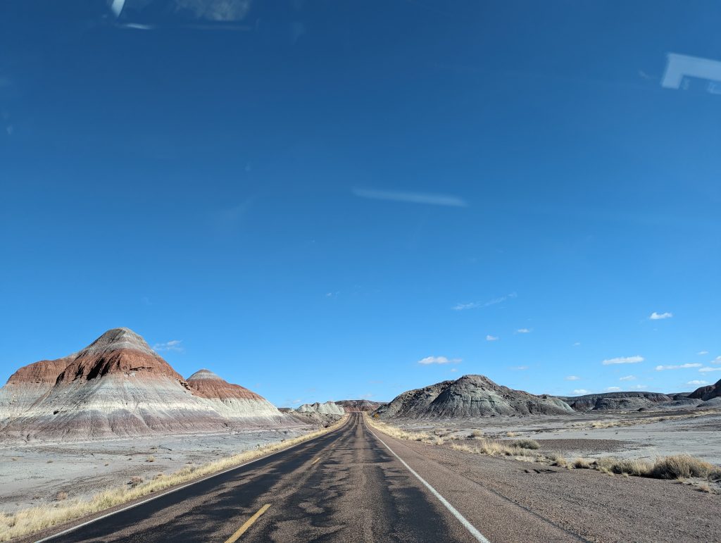
- Another very impressive detour takes us past rocks shimmering in all sorts of colors, where you can clearly see the different stages of deposition and the different minerals come to light.
- We are amazed at how different the national parks are that we get to see.
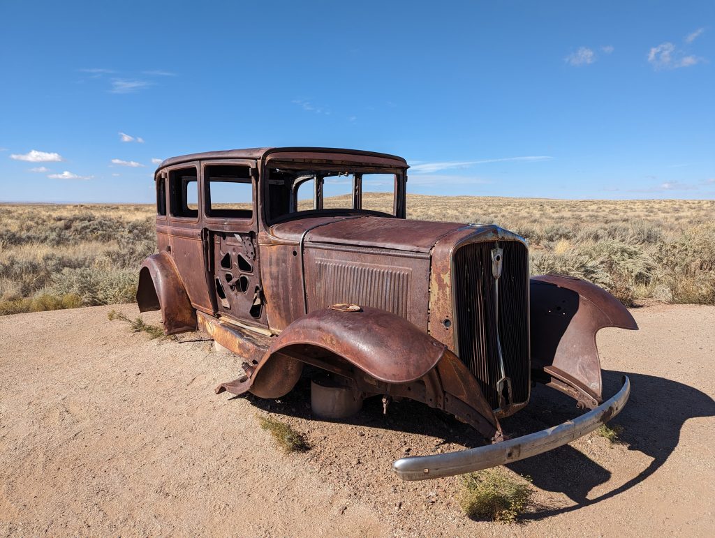
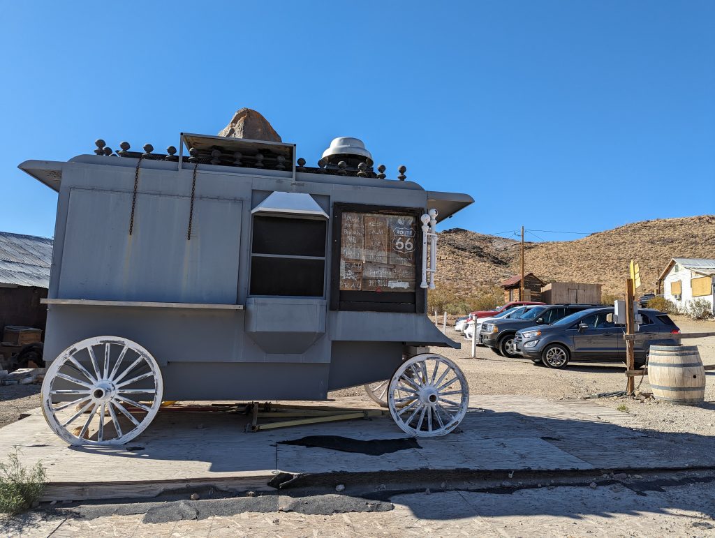
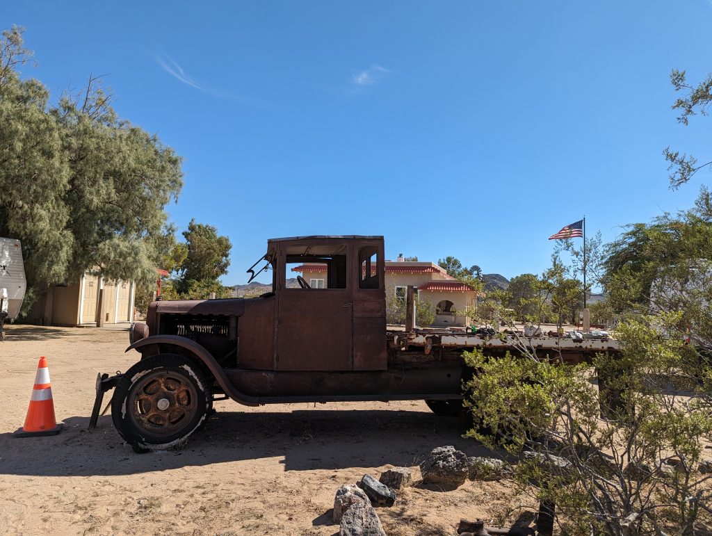
- There is also a Route 66 memorial here: an old car that has been placed on the spot where the route once ran.
- After leaving Holbrook to fill up our tank, we set off on the interstate to our next stop, Winslow.
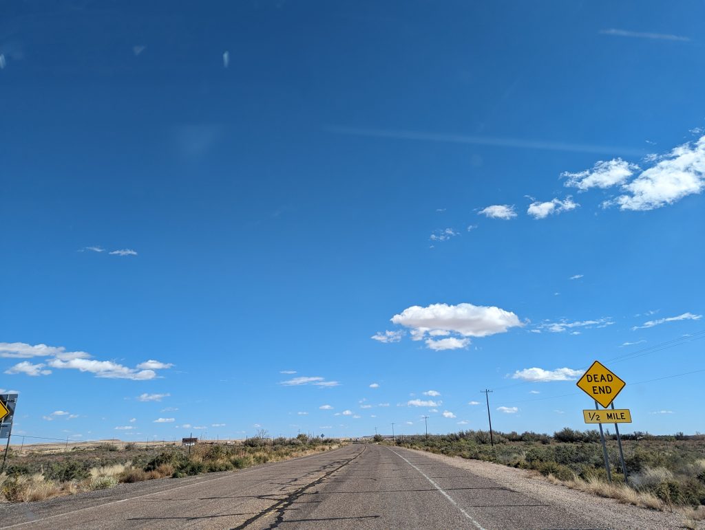
- On the way there, we pass some old, abandoned trading posts and come across “Road closed” signs and dead ends again.
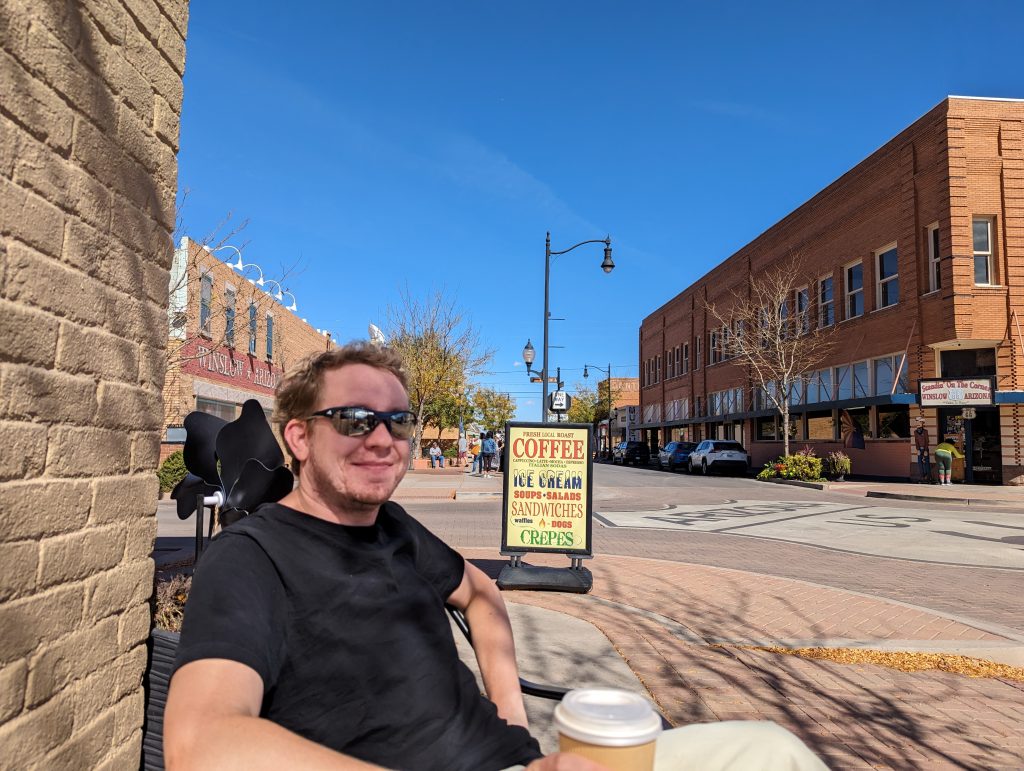
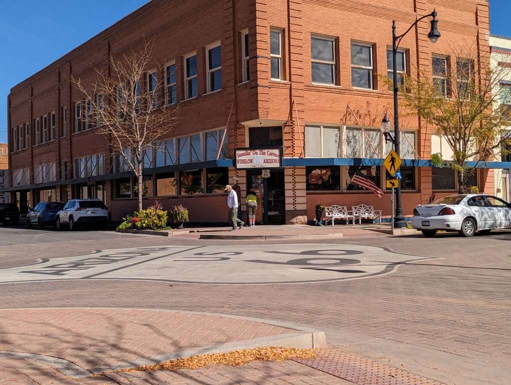
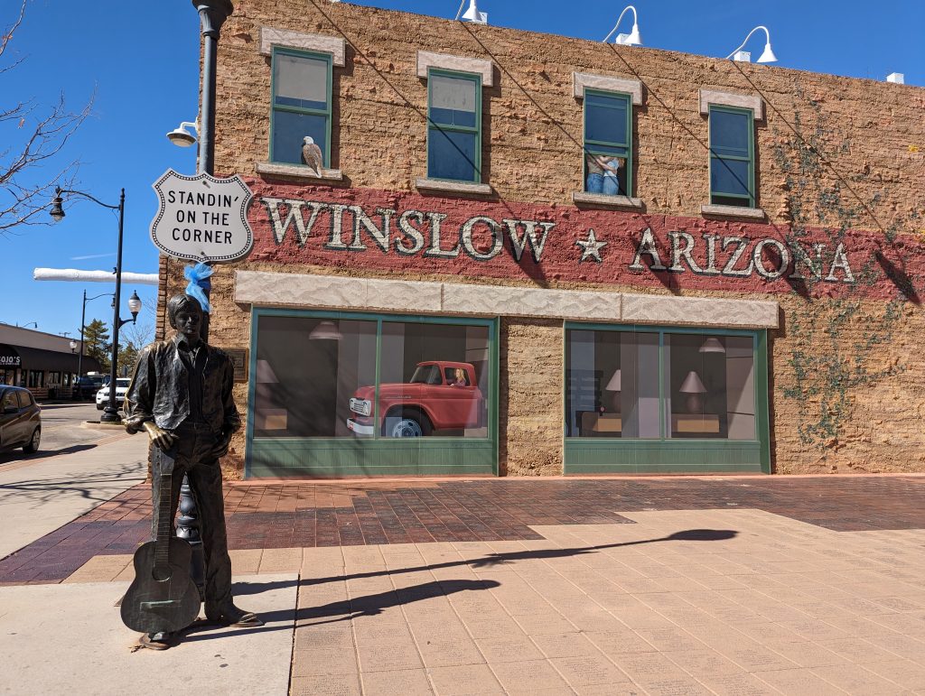
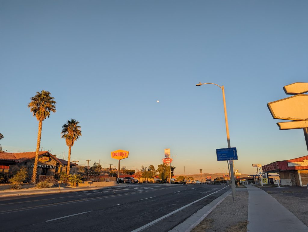
- Thanks to the hit “Take it easy” by the Eagles in 1972 and the line “I’m a standing on a corner in Winslow, Arizona”, Winslow may not exactly be world-famous, but it is “USA”-famous, so to speak, and attracts a number of American tourists who enthusiastically take photos with the “Standing at the Corner” statue.
- To create the right atmosphere, the song is played loudly from the loudspeakers of the souvenir store opposite, which of course cannot be missed.
- We watch all of the rumble and action from the opposite side of the street while drinking coffee.
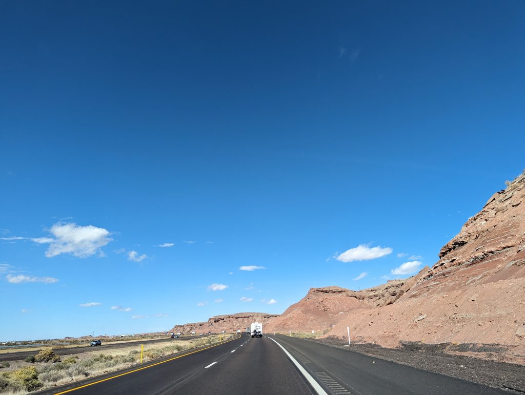
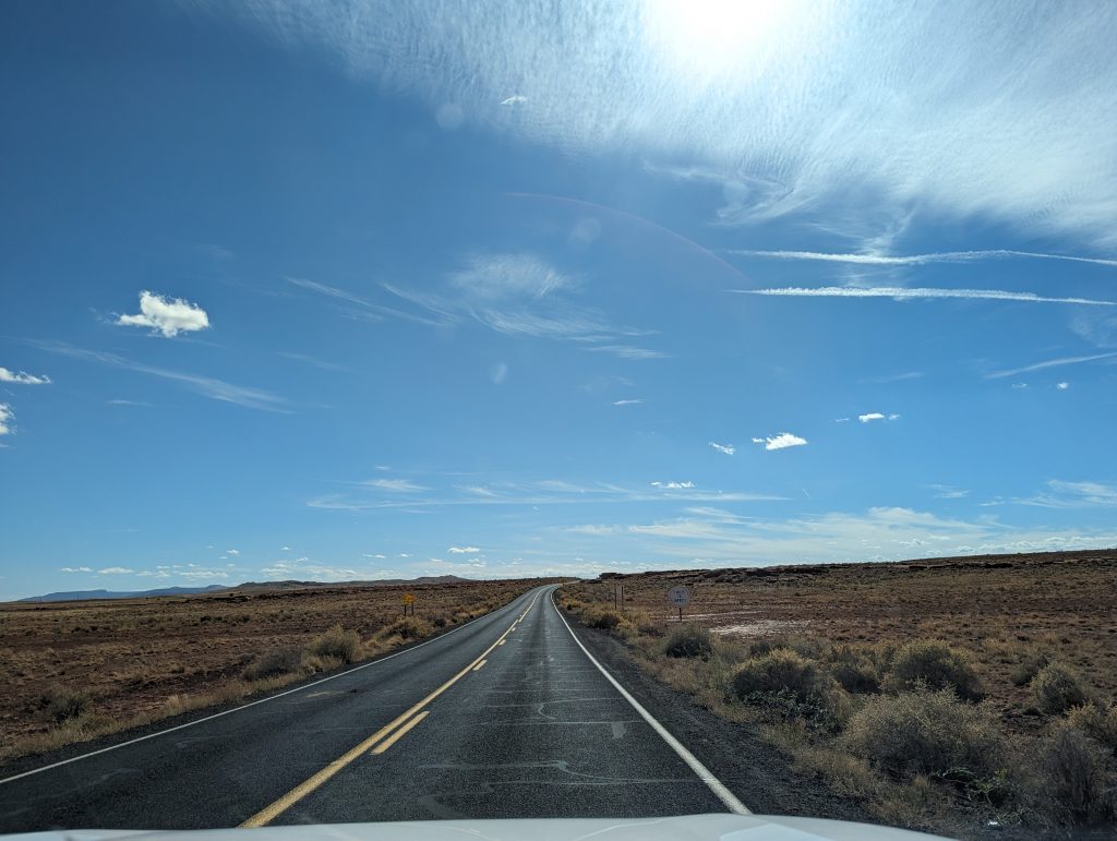
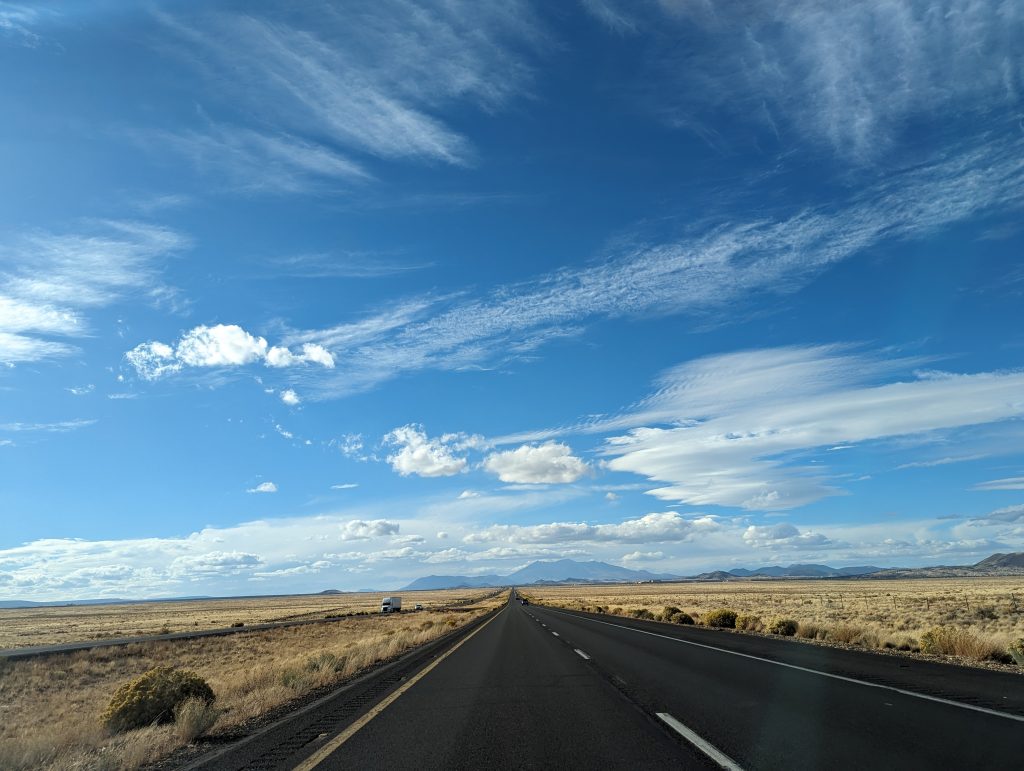
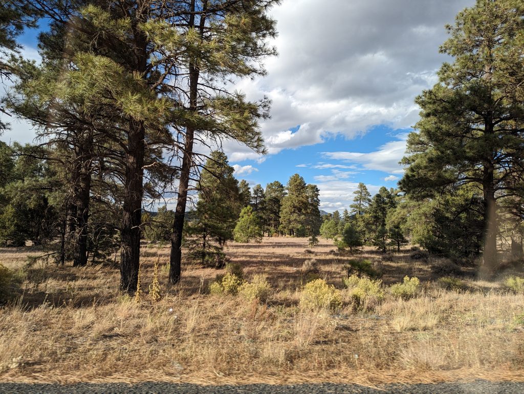
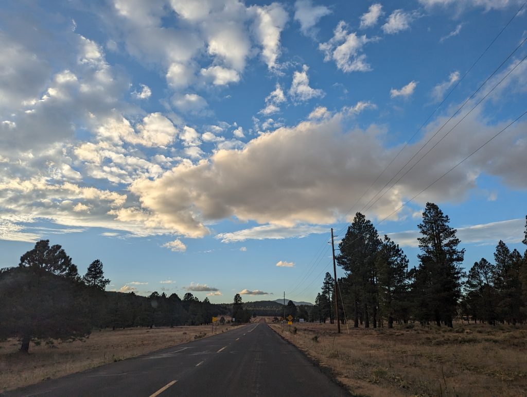
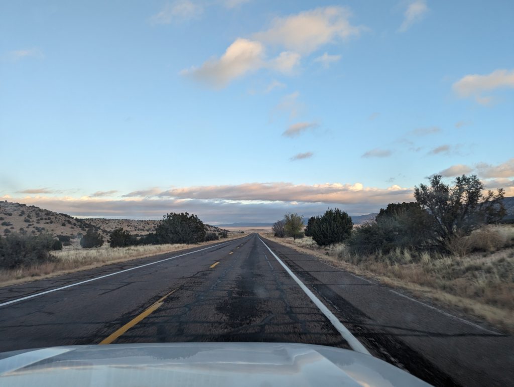
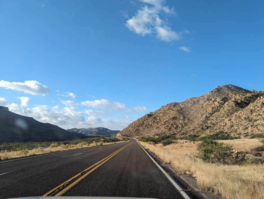
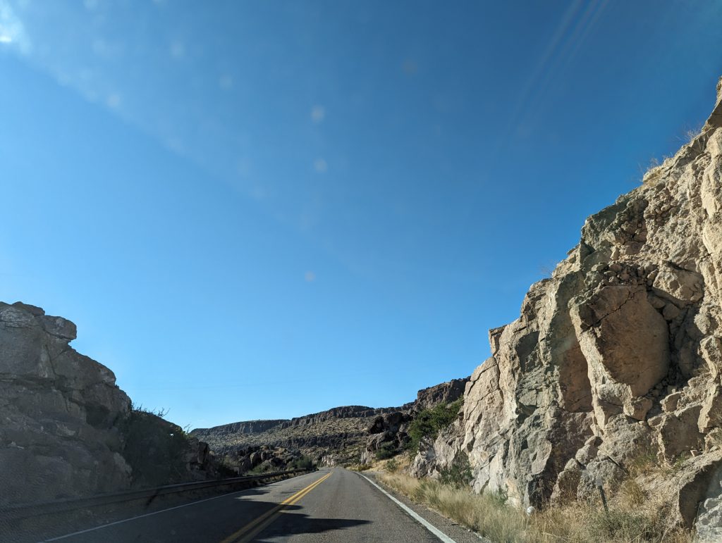
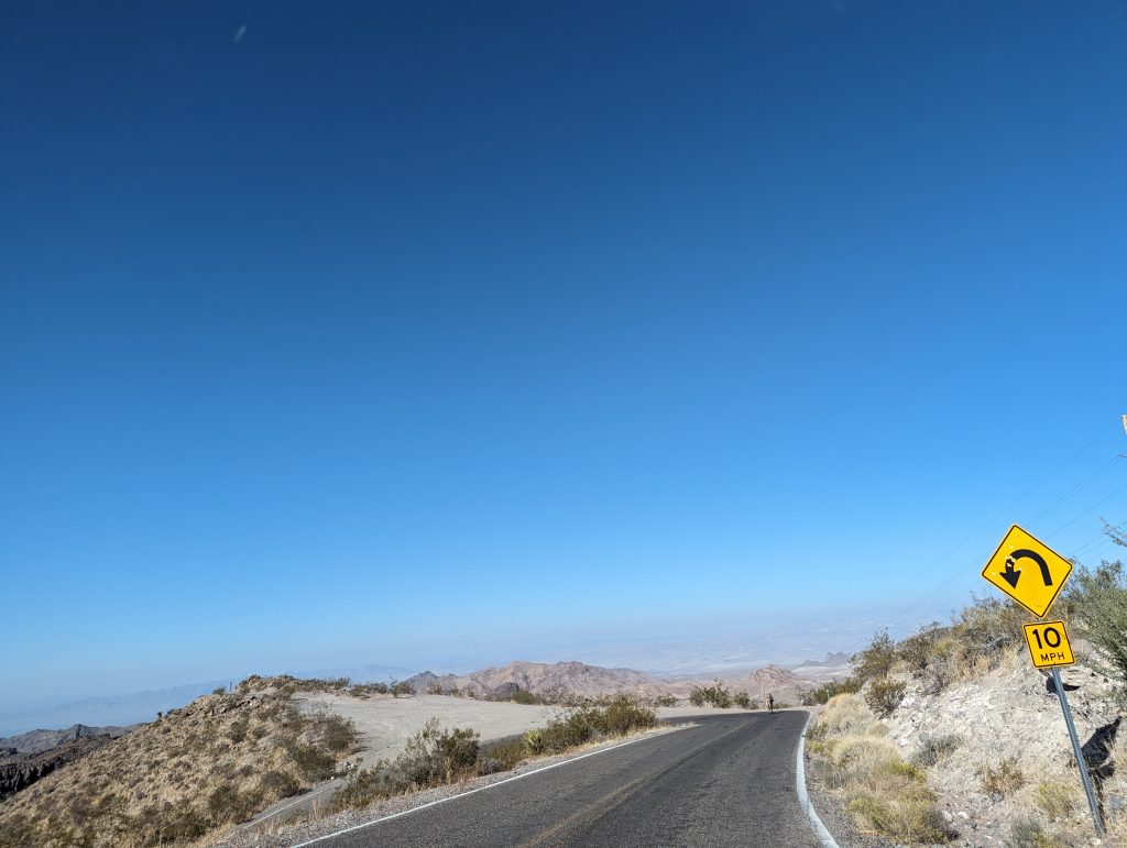
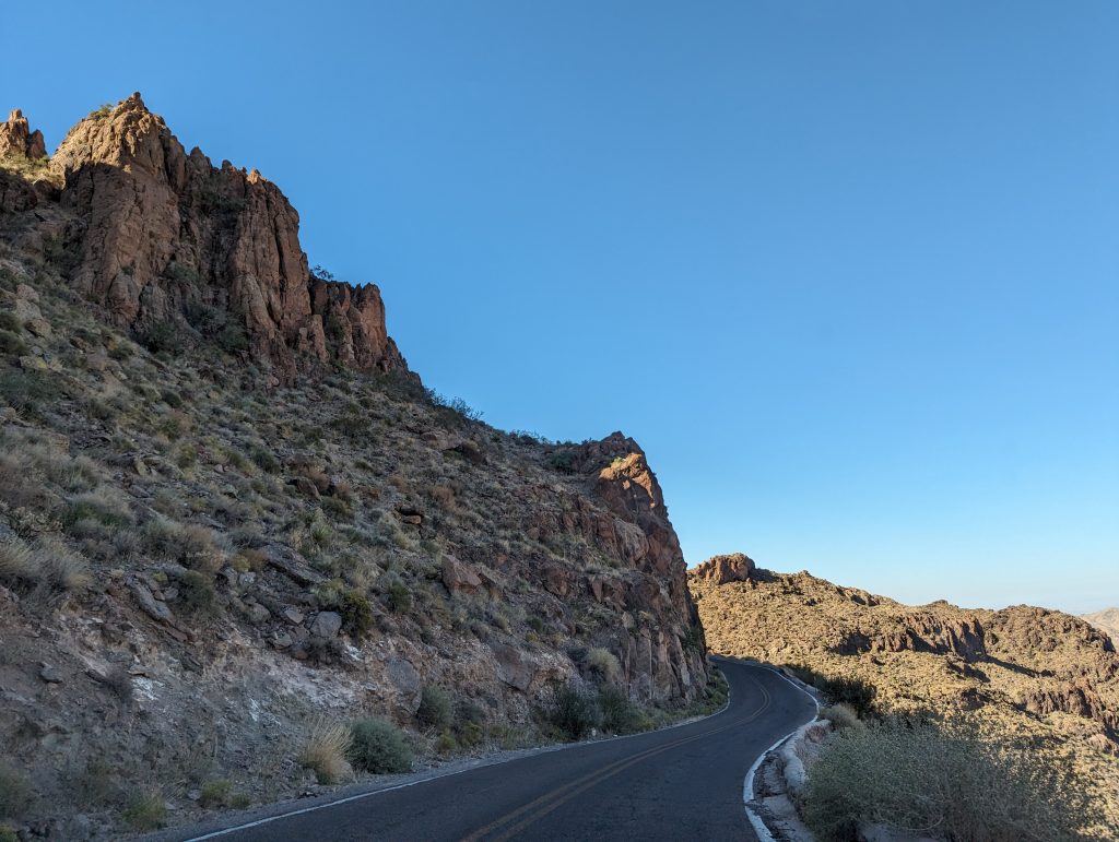
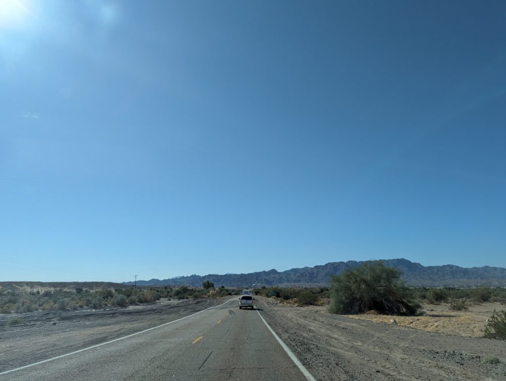
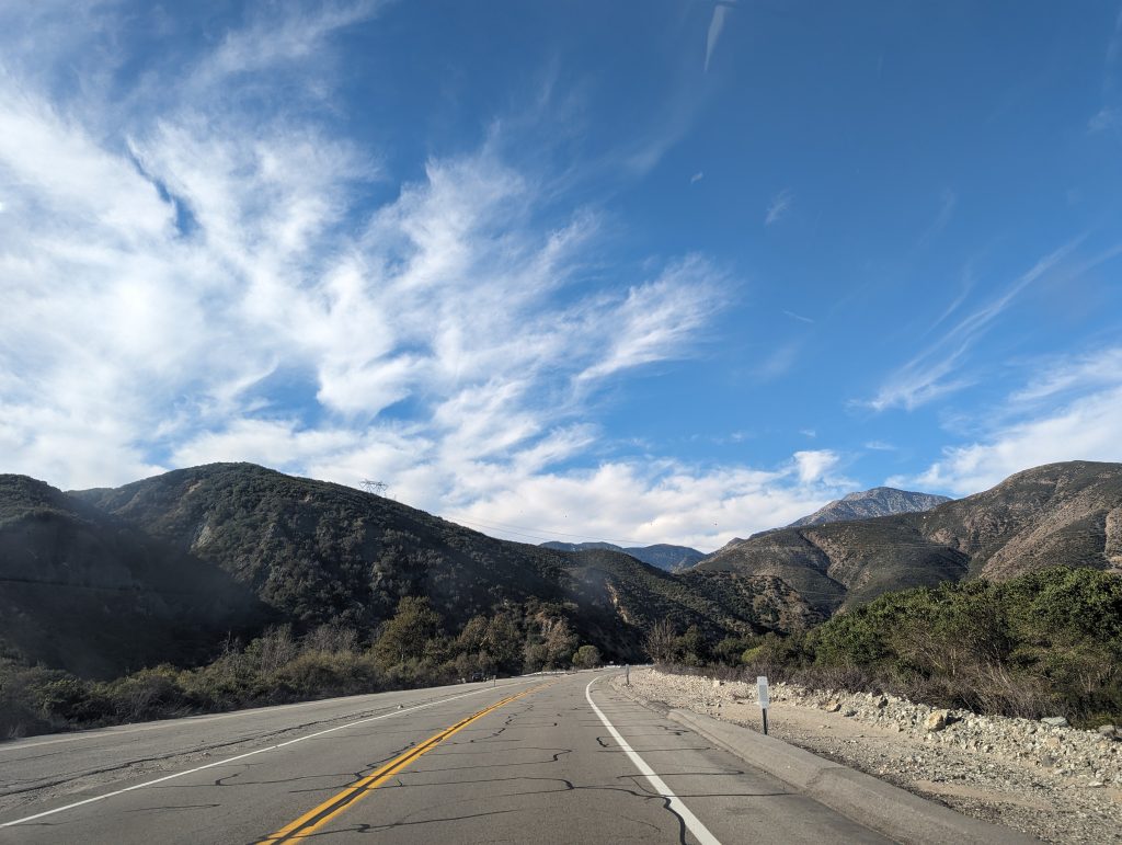
- The road now leads through just as beautiful a mountainous and rocky landscape as yesterday. Also, there are Route 66 signs and instructions everywhere along the road.
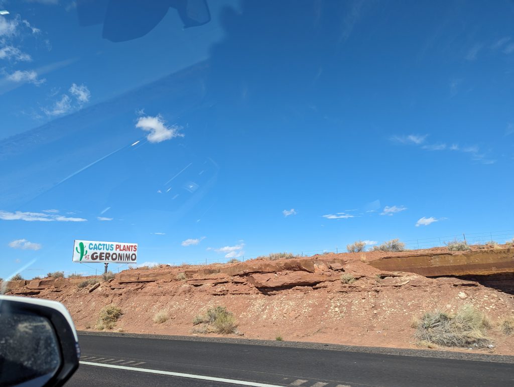
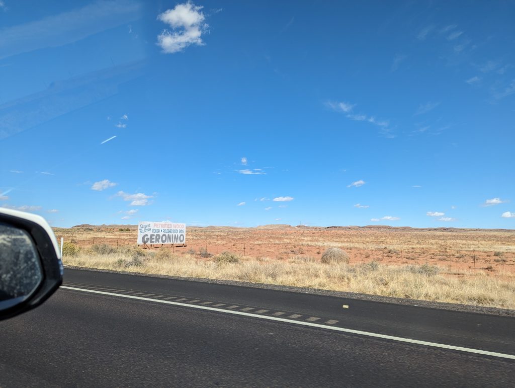
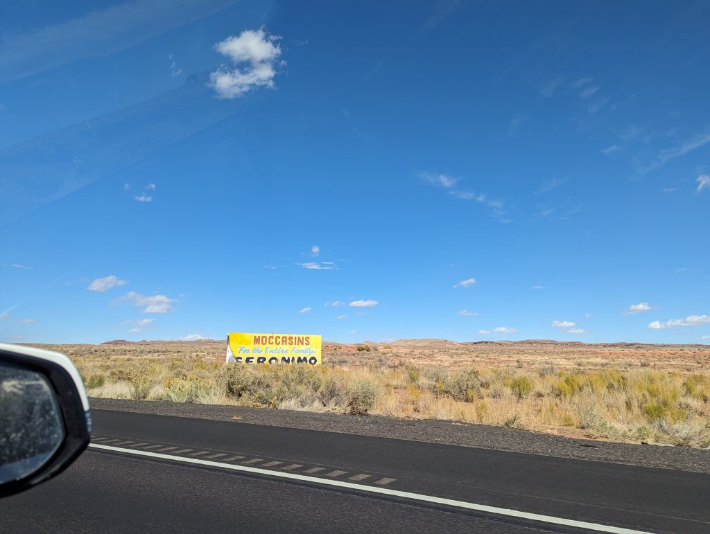
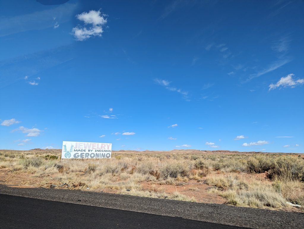
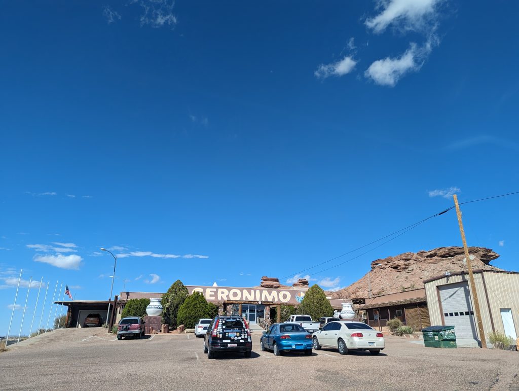
- The place Geronimo is almost like the caves announced miles in advance – I really cannot tell you why though.
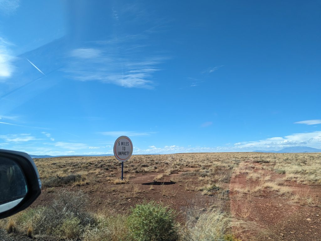
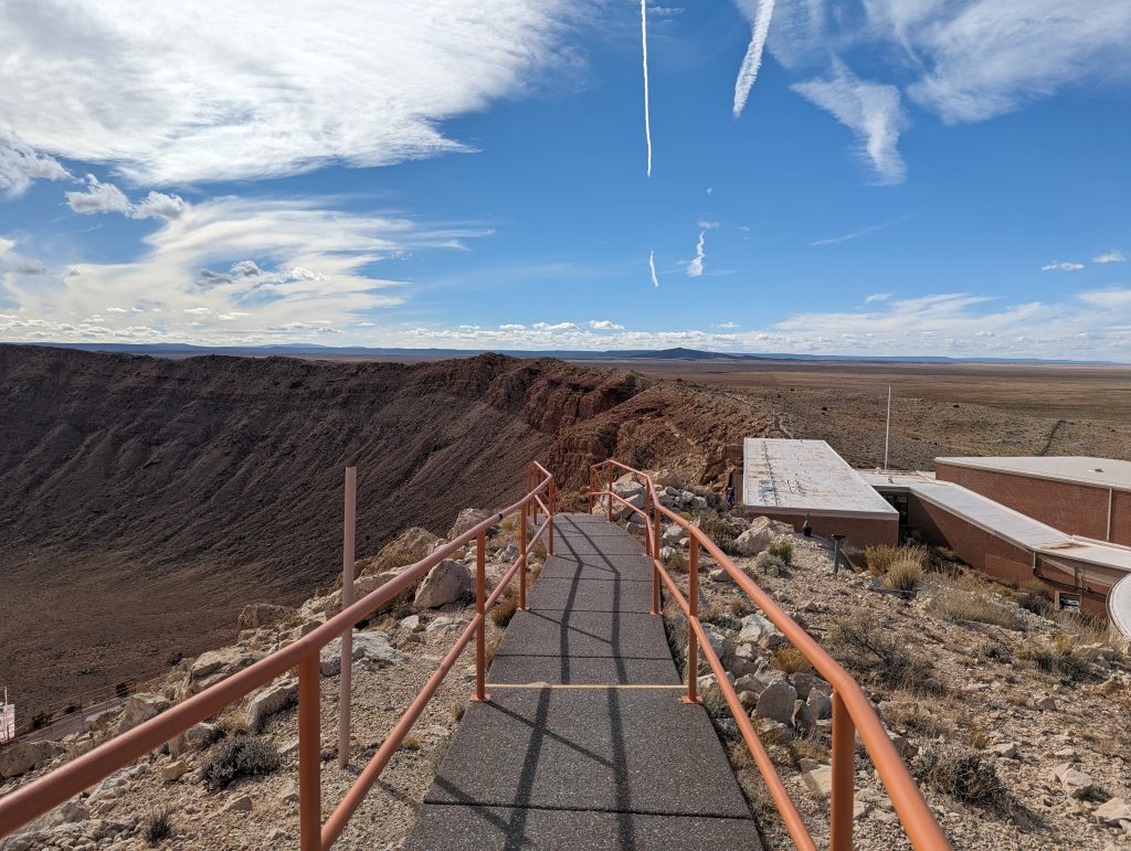
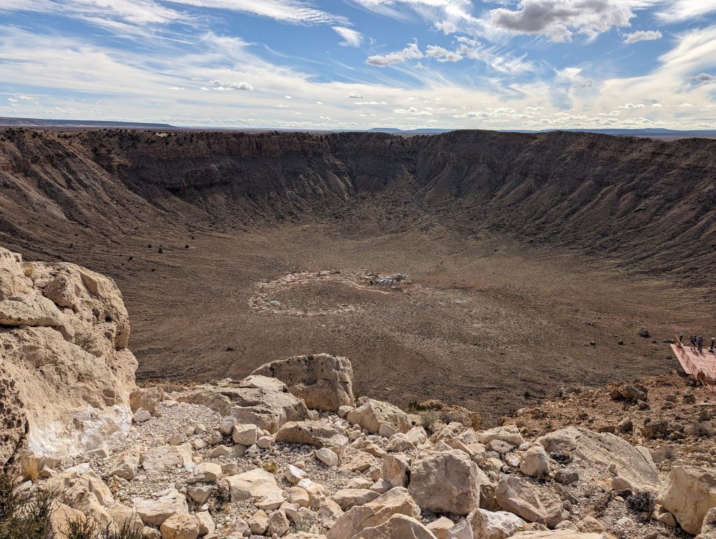
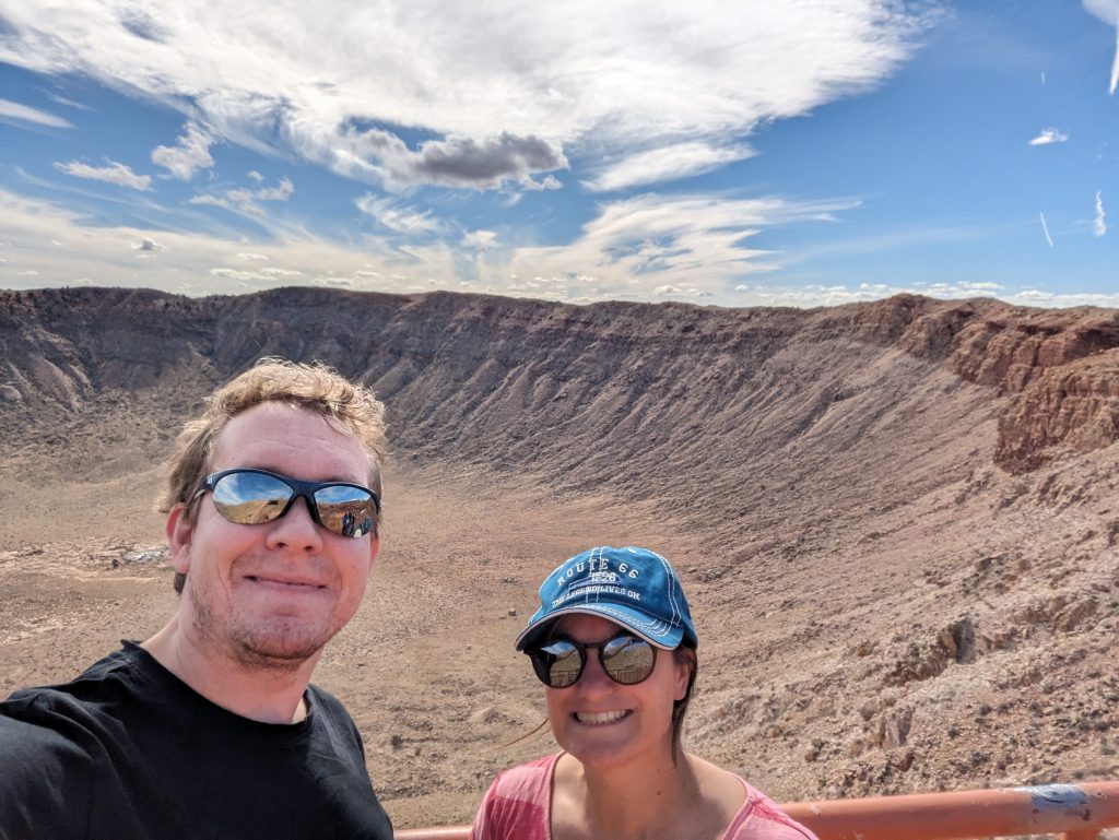
- We continue on to the equally famous Meteor Crater, a huge crater into which a meteorite has crashed.
- Once again, it is widely advertised next to the interstate and has a very well-developed road that leads to the visitor center (and nowhere else).
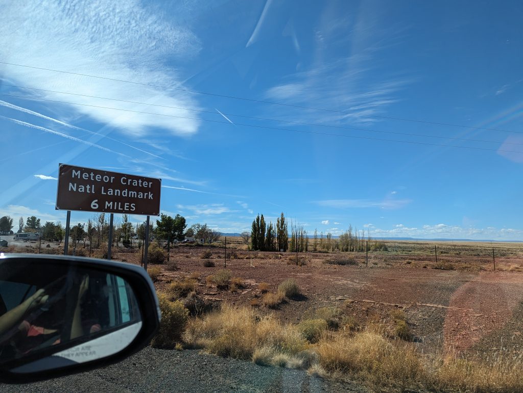
- We were expecting nothing but a crater in the middle of the desert, but instead we find a huge visitor center with a museum, film, show, huge store, crater viewing area and café.
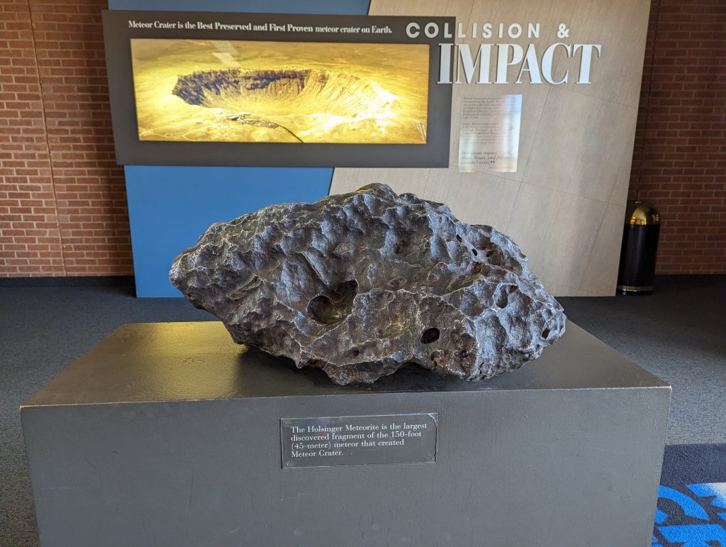
- So we first look through the well-designed exhibition, which explains how meteorite craters are formed and where in the world craters are located. We had recently seen one with Christine and Fritz, the Nördlinger Ries. This has a diameter of around 25 km – so it is significantly larger than the crater here – but you can still see the crater rim wonderfully.
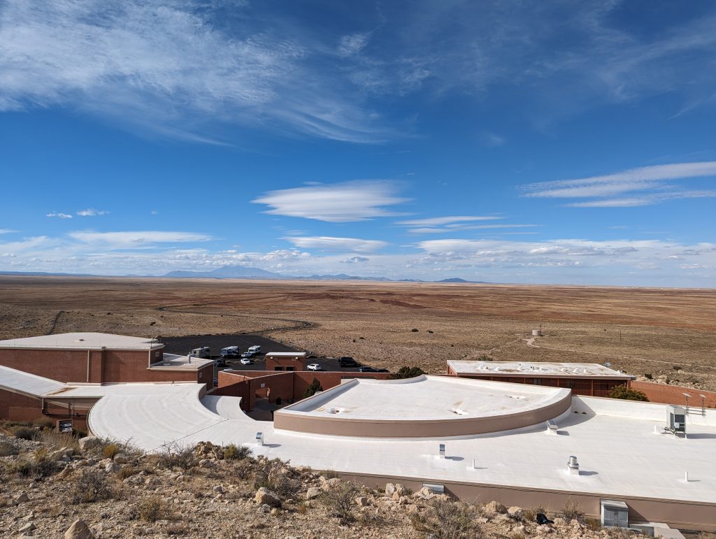
- This one has a diameter of just 1.2km, which is not surprising considering how small the meteorite that caused the crater was (about 45m and you can see a piece of it in the picture below).
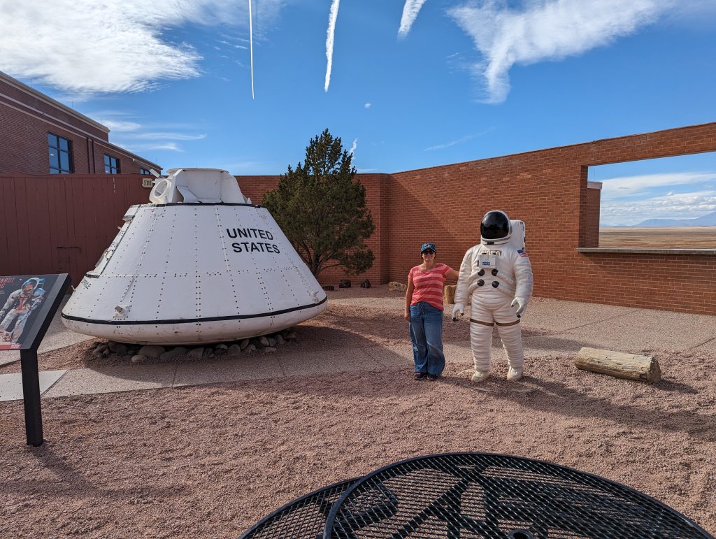
- Of course, the Americans take the opportunity, first to show us a patriotic movie that has little to do with meteorites, but a lot to do with America, and second, to focus on space and America’s space successes.
- We buy a souvenir for Magda and Michi, who we will be visiting soon, in the huge souvenir store and then set off.
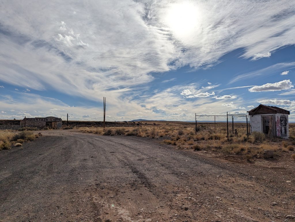
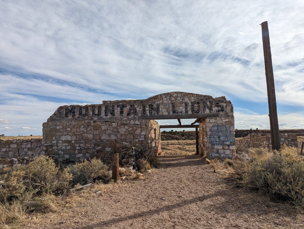
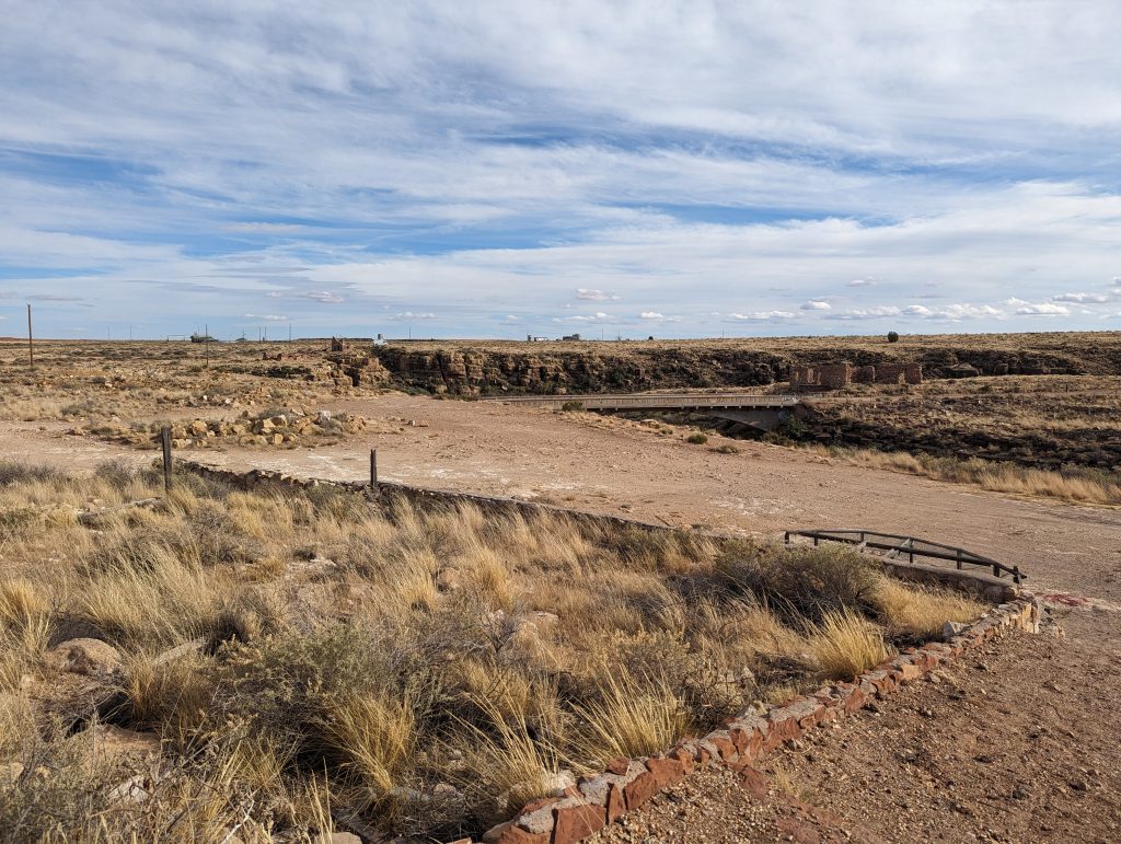
- We soon reach Two Guns, a former western town that was once a popular tourist stop on Route 66, but of which only ruins remain today.
- There we also talk briefly to Magda and Michi to clarify the final details for our visit.
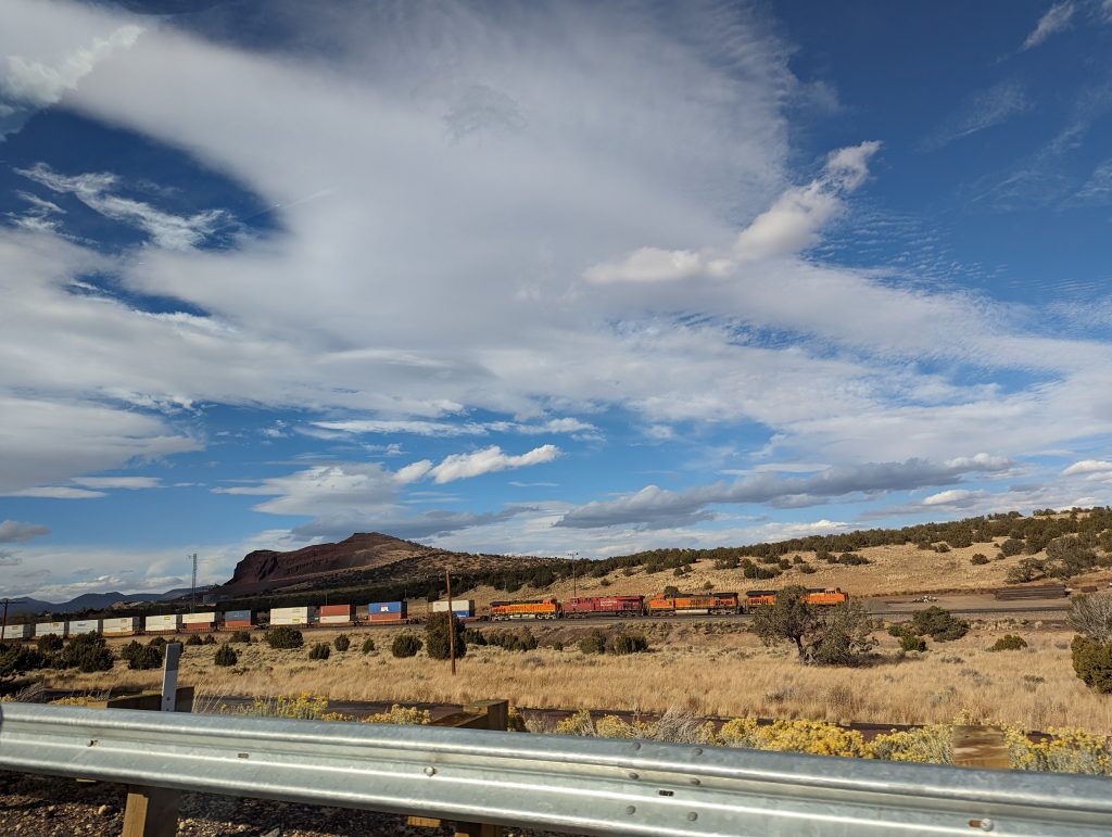
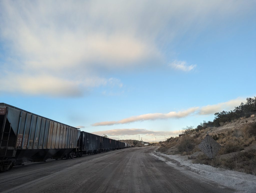
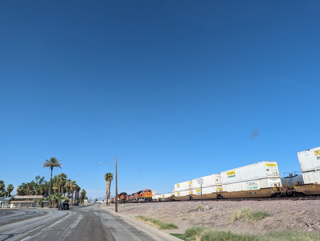
- We pass an abandoned petrol station – like many along Route 66 – and our road leads along the railroad route again, which is of course great as we constantly see trains rattling past, which I diligently photograph and film to then send the material to Sebi, who is very fond of trains.
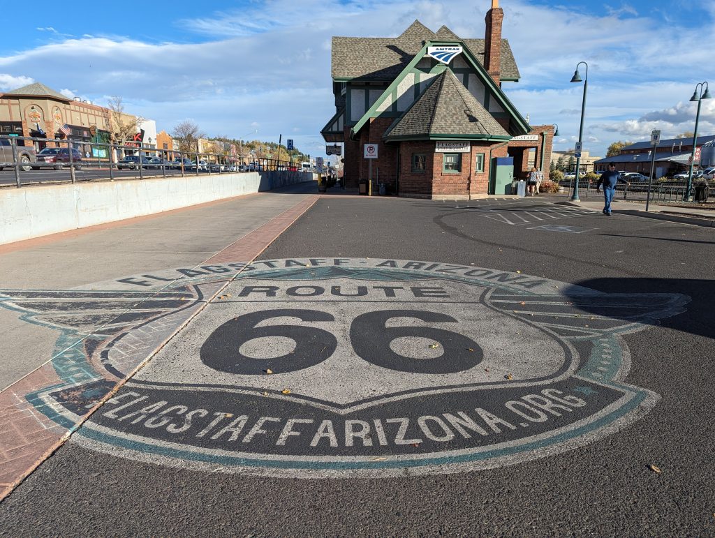
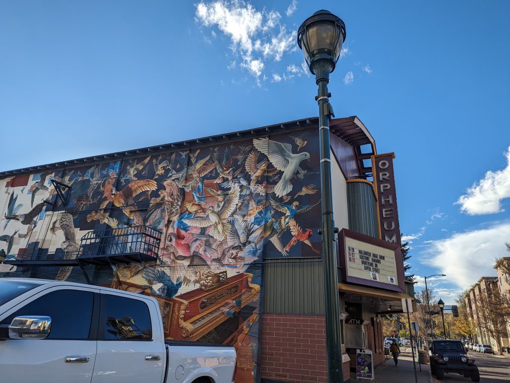
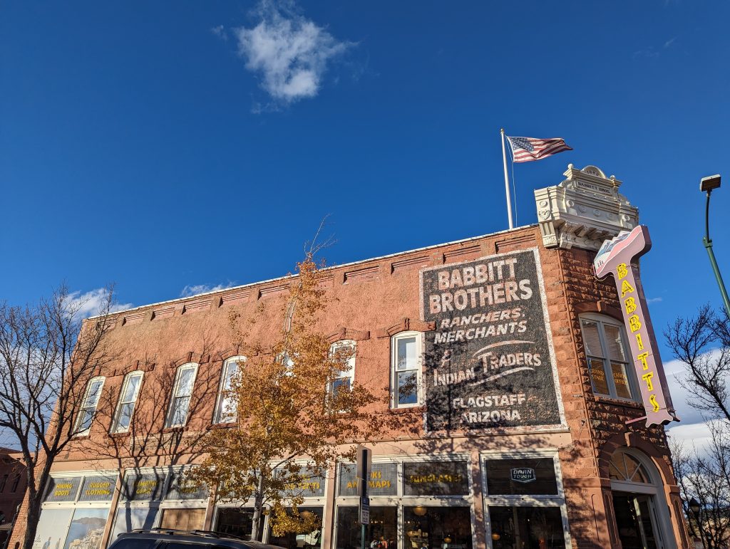
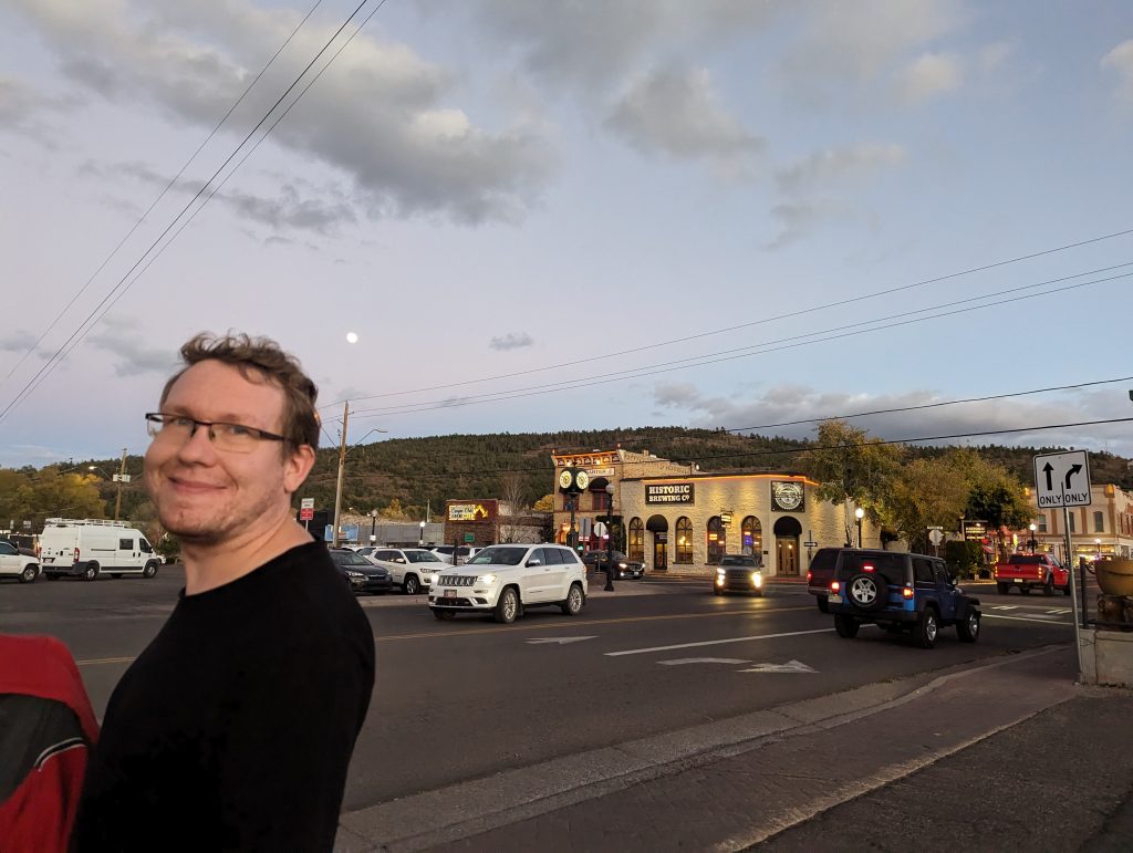
- Shortly after, we reach the real train town of Flagstaff, which is also the gateway from Route 66 to the Grand Canyon. This is about 60 km north of here, but as we have already visited it with Julian, we decide to skip it and instead continue on the route 66.
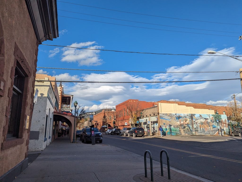
- Instead, we stretch our legs a little in Flagstaff and take a look around the town. The Grand Canyon Cafe was located here and when I spot the sign, I’m thrilled at first and tell Matthäus: “Look, the cafe is still open!”, until we realize at a second glance: It’s a butcher nowadays.
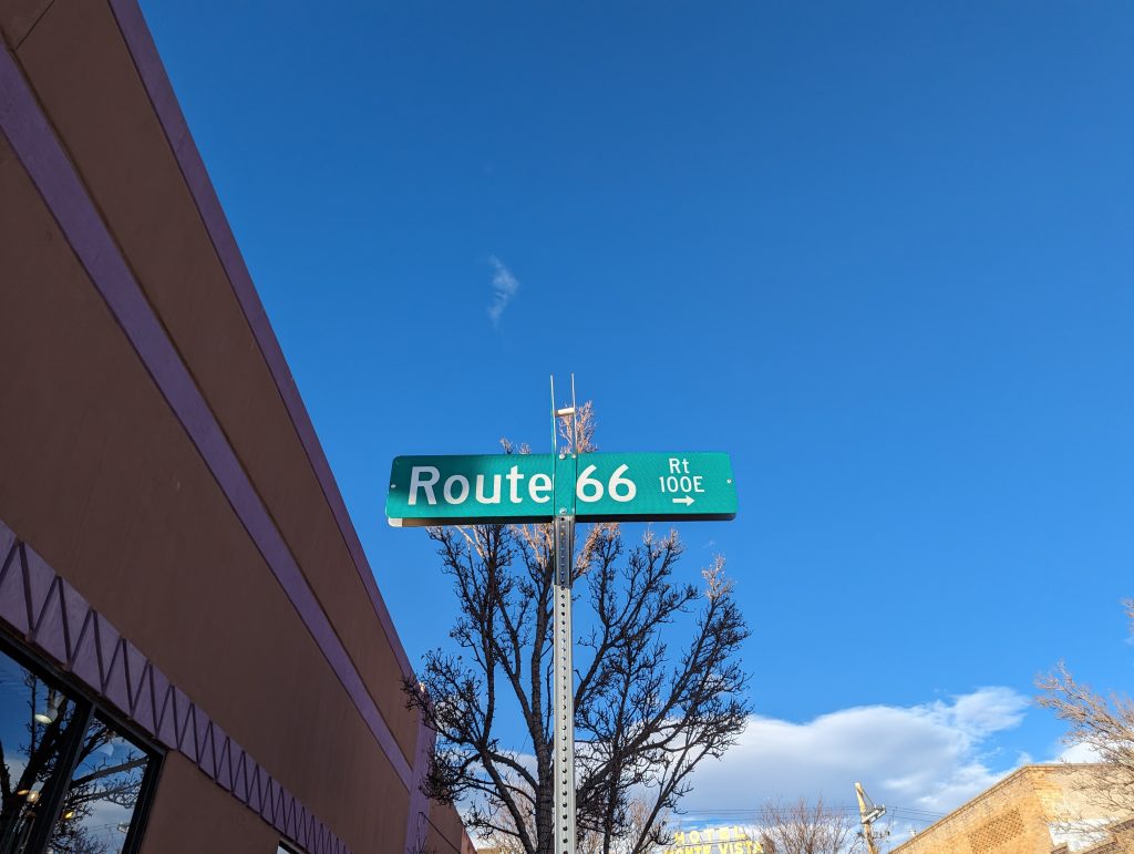
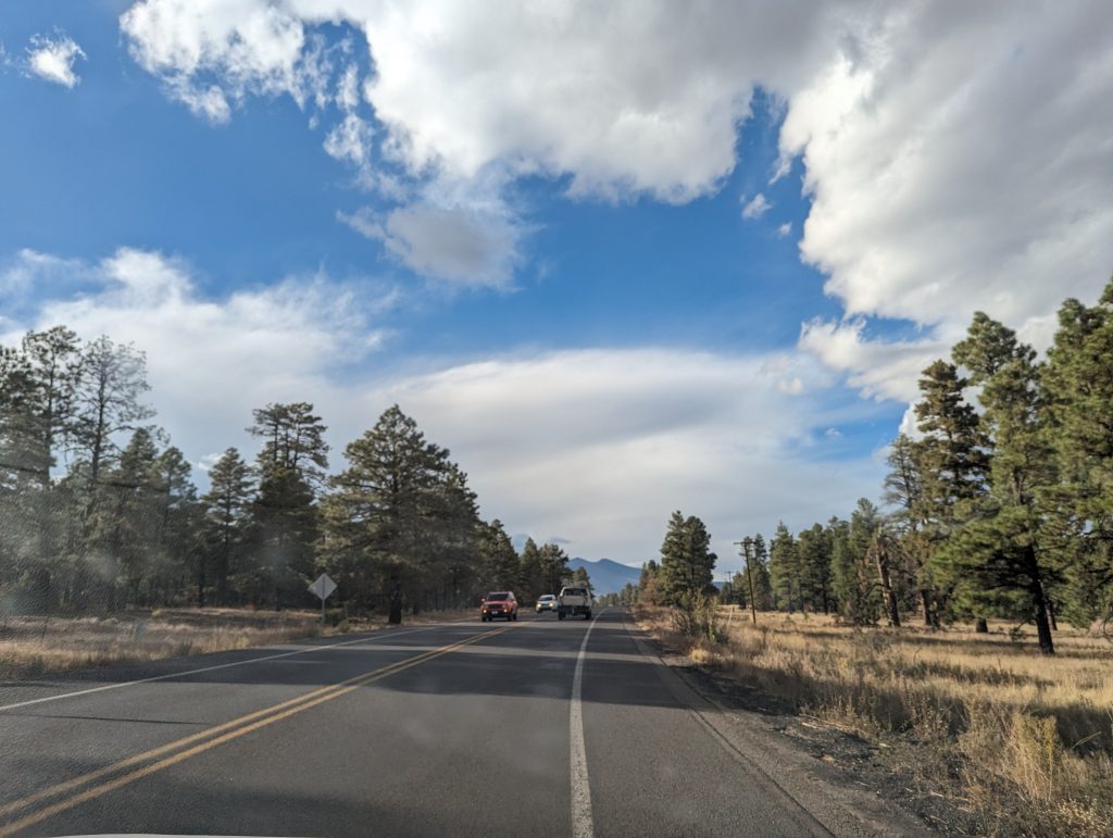
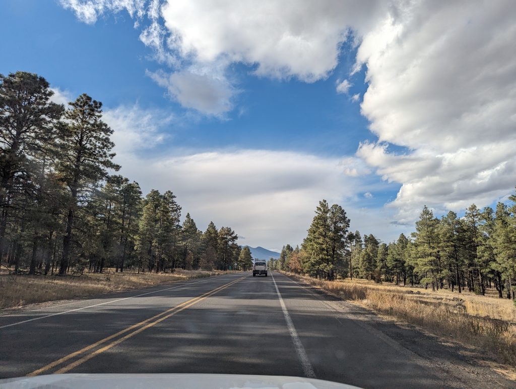
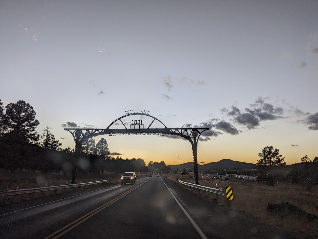
- We continue on the original Route 66 to Williams.
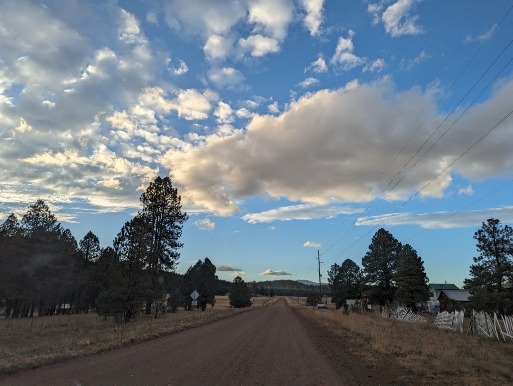
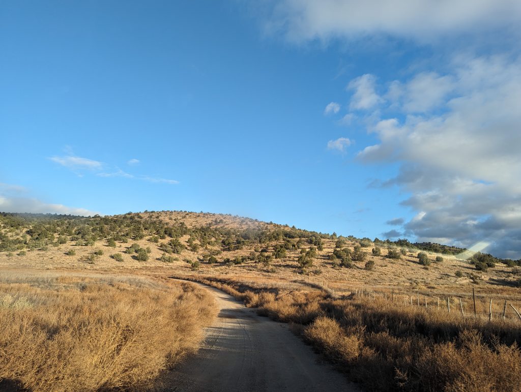
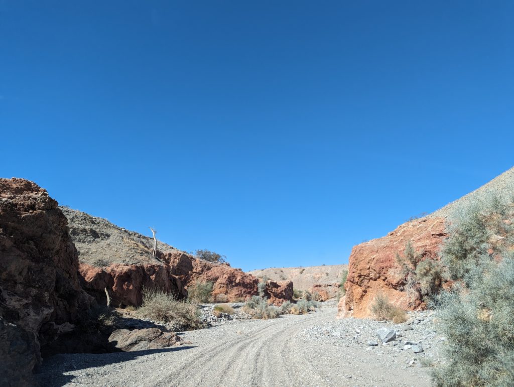
- Once again, there are some very old sections of Route 66 here, which often come in the form of dirt roads and sometimes lead through the forest.
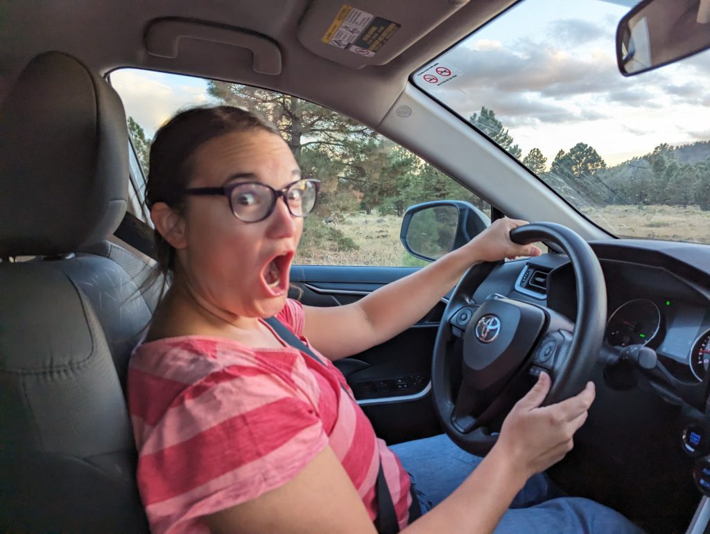
- This is very nice, now at dusk, until suddenly there is a deer on the road (see photo below: the deer and me).
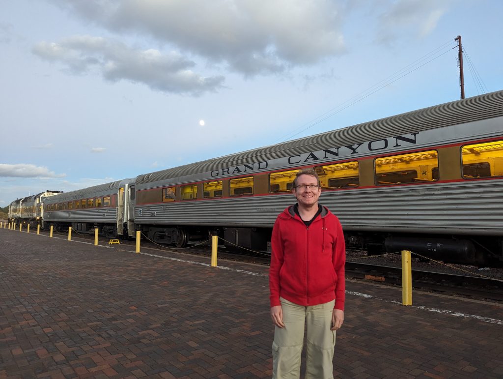
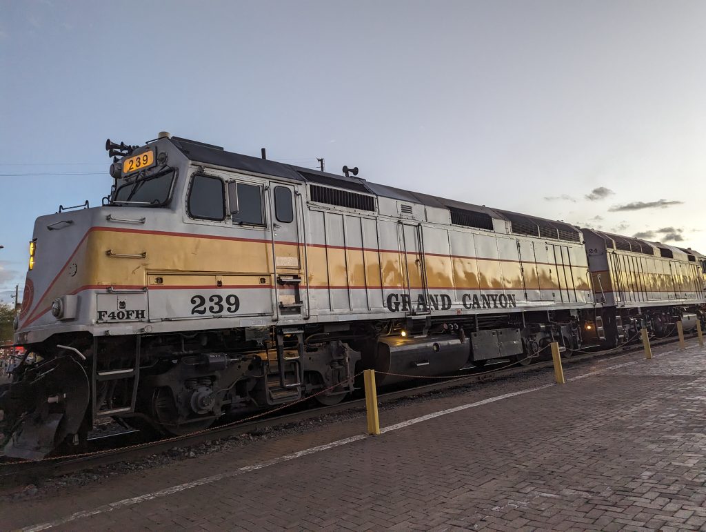
- Williams is just as much a railroad town as Flagstaff and the Grand Canyon Railway departs from here- a train, which runs daily between here and the Grand Canyon National Park.
- We actually briefly considered taking the train yesterday – but then everything else on today’s program would not have happened, as we would have had to be here very early in the morning. It was therefore with a heavy heart that we decided against it and wished we had a day or two more to take in the great train experience. Well, you can’t have everything and, after all, we are primarily here to drive along Route 66.
- Funnily enough, just as we arrive in Williams, the Grand Canyon train comes back and pulls into the station. Very nice, at least we got to see it!
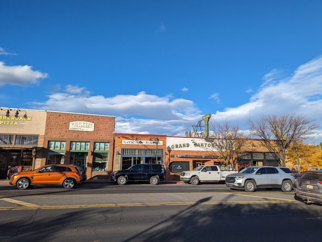
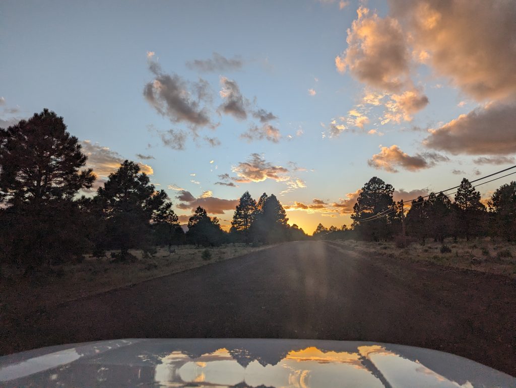
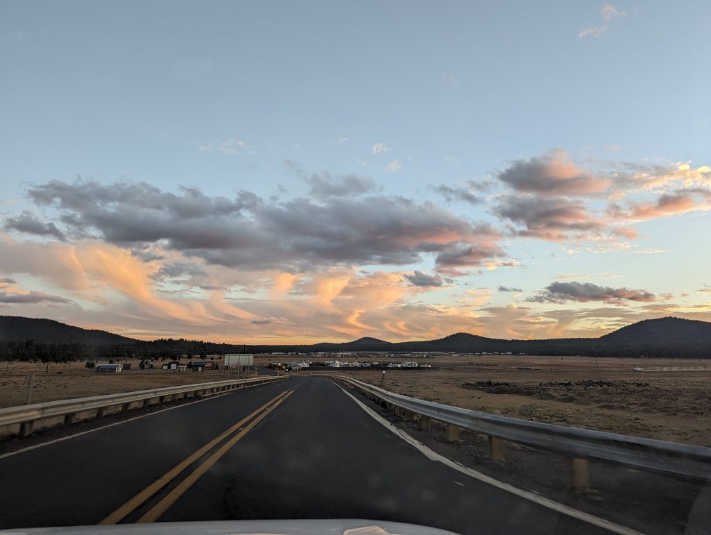
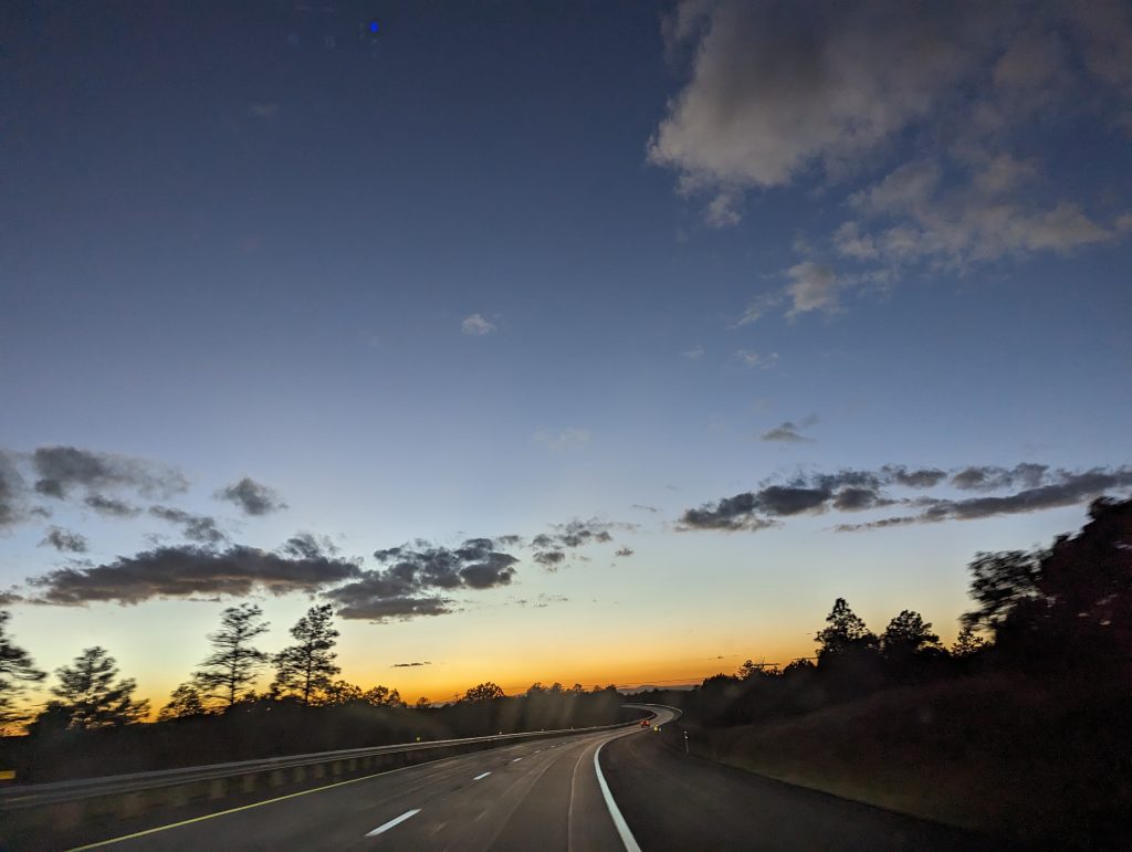
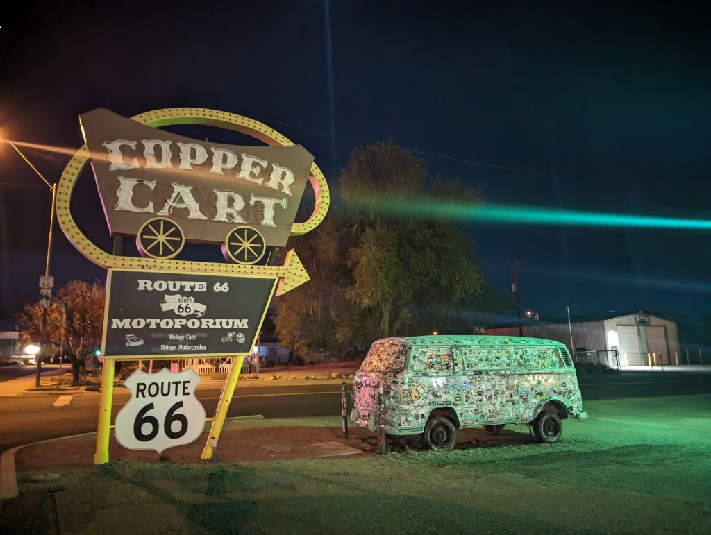
- Slowly it gets darker and in the beautiful light of dusk we drive on to Seligman, where we decide to spend the night.
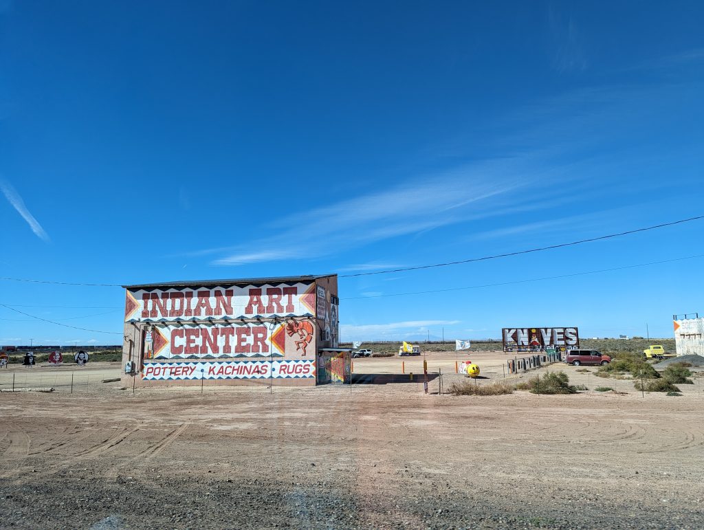
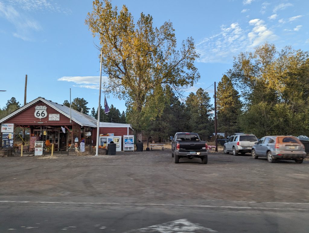
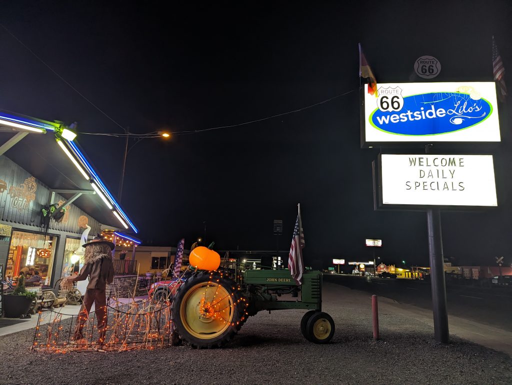
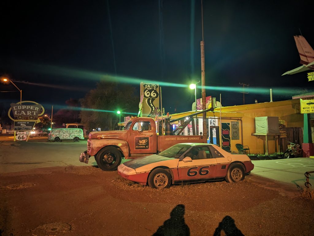
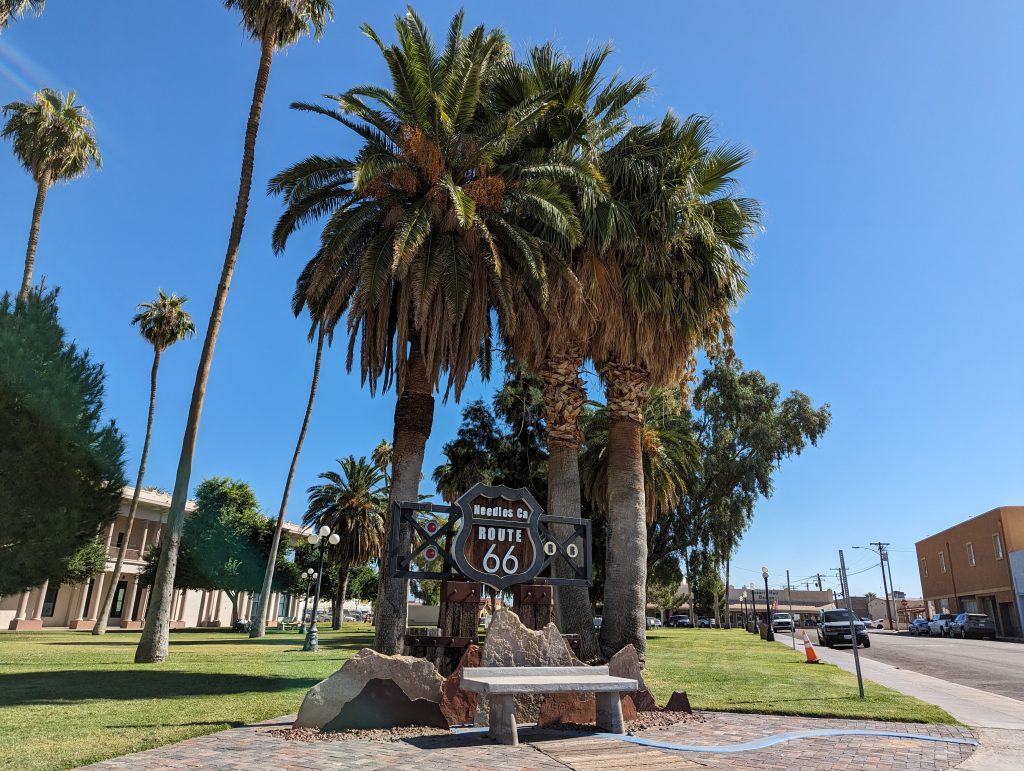
- Seligman is fully committed to its Route 66 legacy and literally lives and breathes for the route. It is full of historic motels, restaurants, diners and old cars that contribute to the feeling of nostalgia.
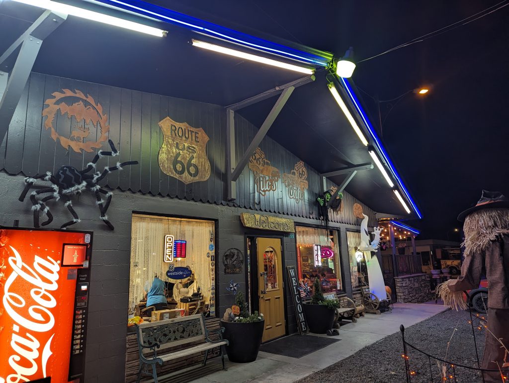
- What’s more, as our Motel host later explains to us, some of the old cars here have inspired “characters” from the movie “Cars”.
- We are staying in a motel run by a German who moved to the USA 20 years ago and hasn’t looked back since. When we ask him if he feels comfortable here or if he wants to go back to Germany at some point, he says very firmly “Yes, he feels comfortable here and no, he definitely doesn’t want to go back.” He doesn’t really speak German anymore either, but funnily enough he has quite a German accent in his otherwise flawless American English. When he hears that I’m from Austria, he enthusiastically recommends a restaurant run by an Austrian-American friend of his (with the typical Austrian name “Lucy”), which serves Wiener Schnitzel.
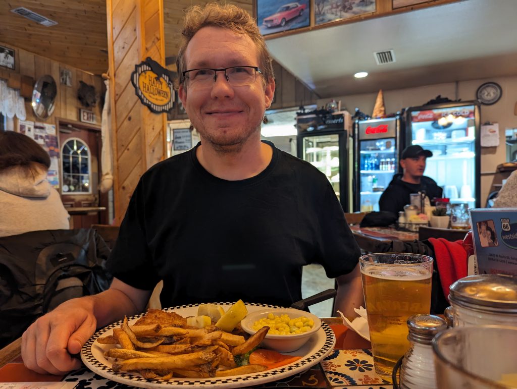
- Well, we’re hungry anyway – we might as well – so we stroll to the restaurant (which is a mile away from here, which is impressively far considering Seligman’s population of around 20 – but hey, it’s an American town).
- There we bravely order a Wiener schnitzel and are thrilled when – contrary to expectations – it is made with veal and tastes delicious. Wow! And that in the middle of Route 66 in the middle of nowhere.
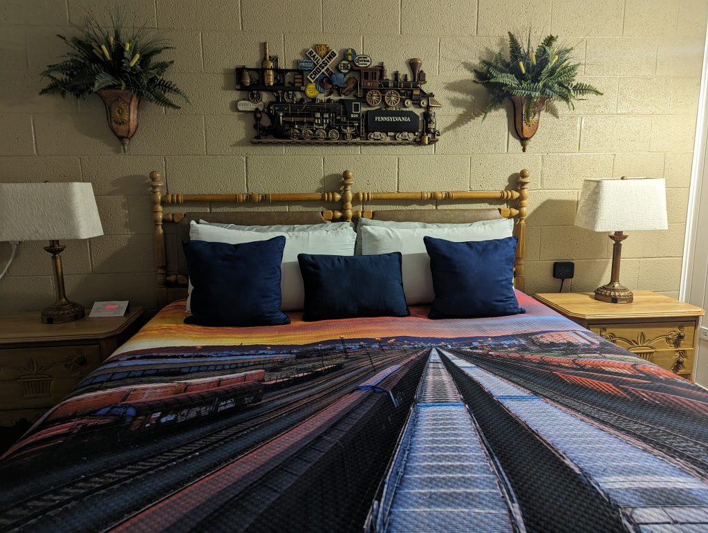
- Incidentally, our room has a “railroad” theme to match today’s theme and I am properly excited about it too – mega!
Friday, 27.Oktober
Romeo go Homeo
Seligman, AZ – Barstow, CA (2280 Miles/ 3650 km)
- We set off early today in order to reach Joshua Tree National Park in time, where I have booked a climbing camp for the weekend.
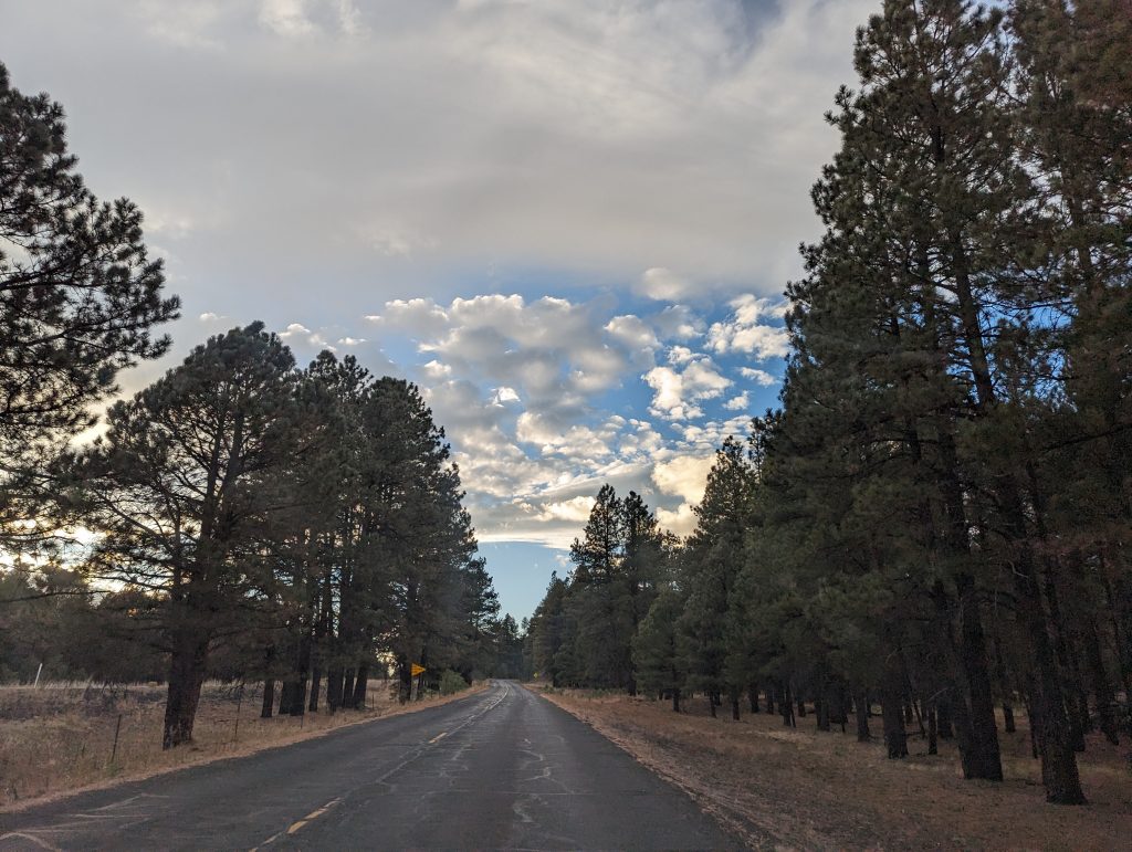
- The route is once again very picturesque and perfect for a road trip, and it’s beautiful in the morning light.
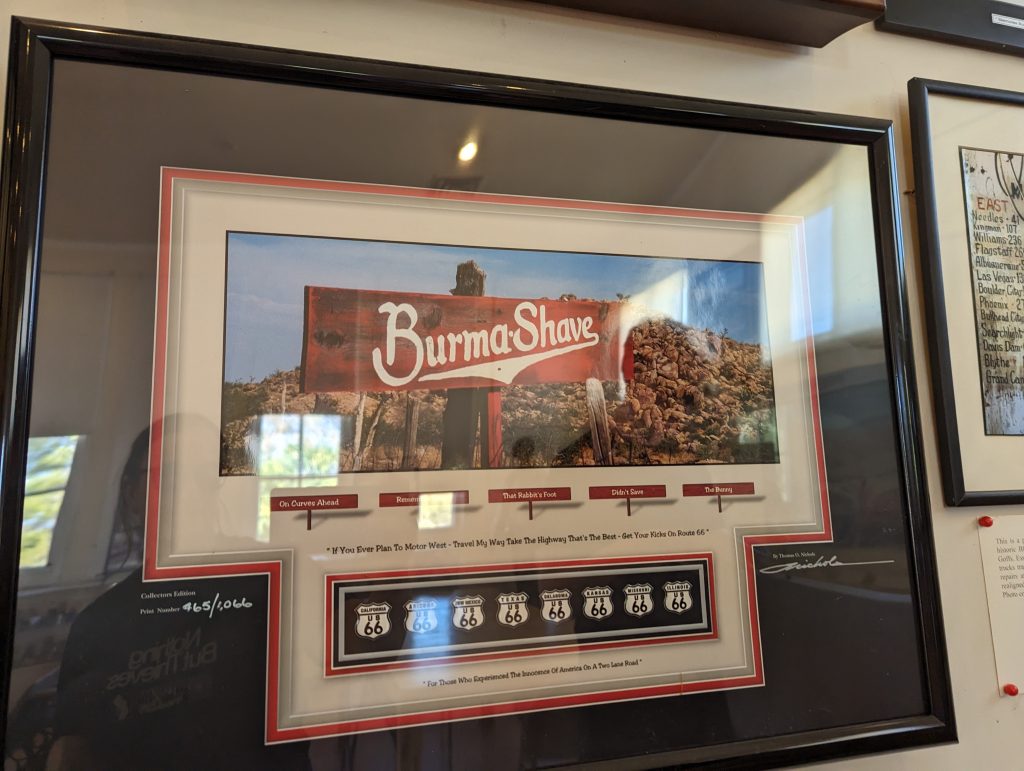
- Soon the famous red Burma Shave signs appear on the roadside, which I vehemently refer to as “Burma Sharma” – no one knows why…
- These were put up by the Burma-Vita company that introduced the Burma Shave brand, a brushless shaving cream, which was then advertised through the famous roadsigns.
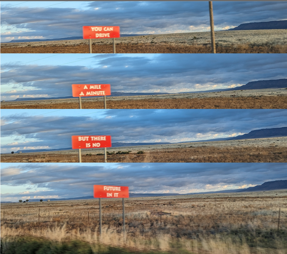
- By the 1950s the company was no longer doing so well and in 1963 it was swallowed up by Philip Morris. Ironically, Burma Shave was relaunched in 1997 by the American Safety Razor Company as a nostalgic shaving cream – but with a brushing kit, which is a bit funny considering Burma Shave itself made on more than one roadsign fun of “Grandpa’s old-fashioned shaving brush.”
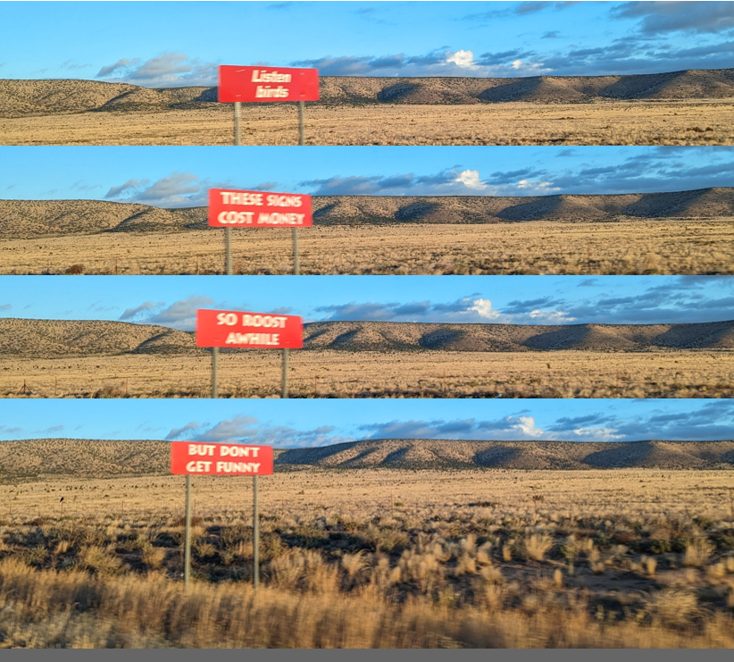
- Here is a best-of collection of various Burma-Shave signs:
- The Grand Canyon Caves are the next advertised tourist attraction – however, we find out that the caves are now “temporarily” closed due to an incident where several tourists got stuck in an elevator in the caves for several hours – not cool.
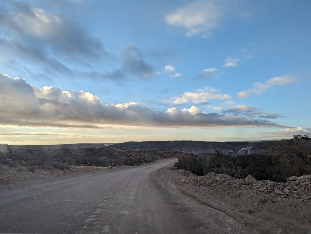
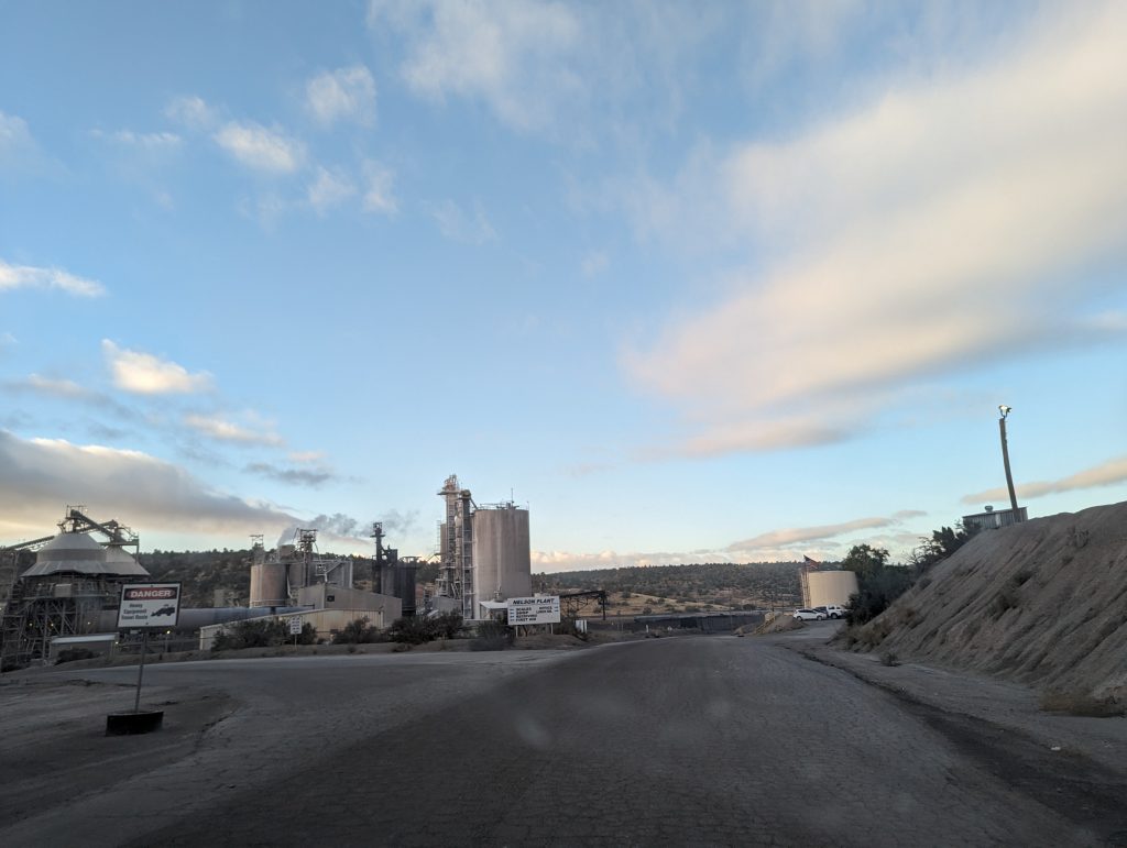
- Once again, Route 66 takes us along former sections of dirt road, past a factory that even has its own train track.
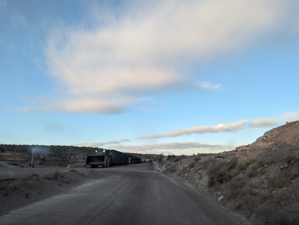
- The train, which is just leaving, passes so close to us at walking pace that I ask Matthäus: “Hey, if you open the window and stick your arm out, do you think you could touch the train?” to which he only responds with an exasperated “Really, Marie?” look.
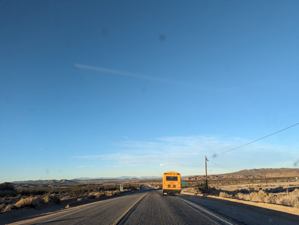
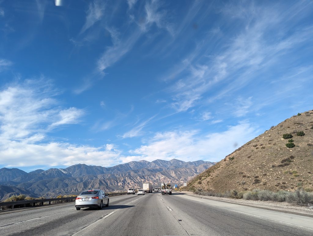
- We reach the dreaded Mojave Desert, which our 40s guide tells us should preferably be driven at night – highly recommended for cars without air conditioning.
- We in our well air-conditioned SUV have no problem cruising comfortably through the desert during the day.
- Sections of the road also lead through Indian reservations, including those of the Hualapai Nation, where we refuel, as we have found that the Indian reservations charge less tax on fuel.
- We also send a postcard from the Indian reservation and are curious to see if it will be sent by American mail and arrive (to Gerald: If you’re reading this – did you get it?).
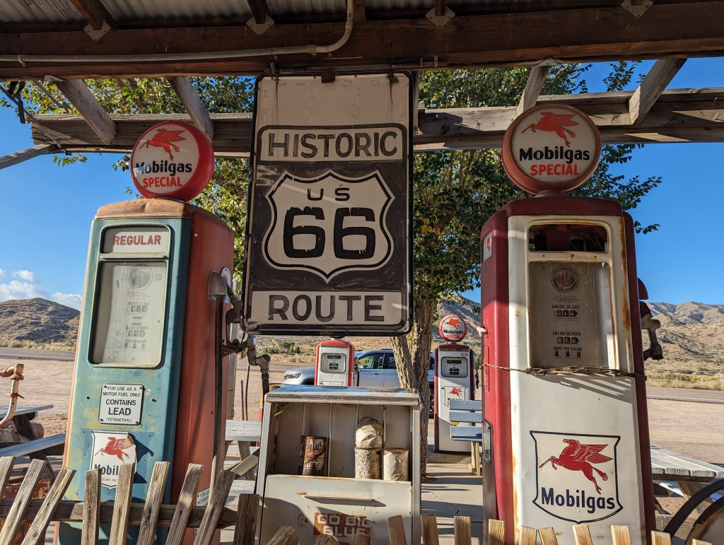
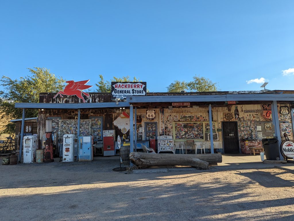
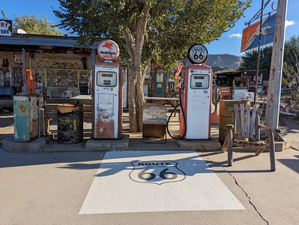
- We reach Hackberry, a very sleepy town, but with the Hackberry General Store from 1934, where there is also a former gas station.
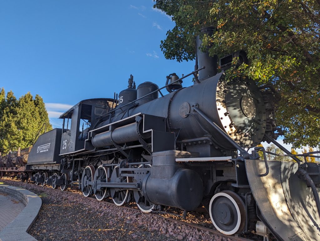
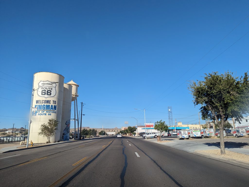
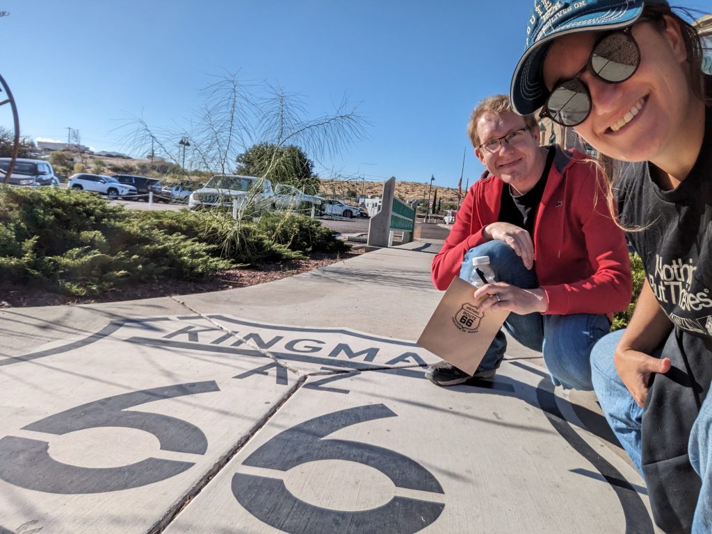
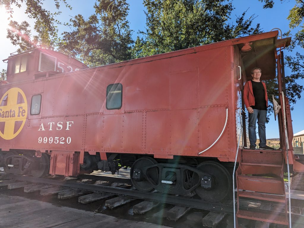
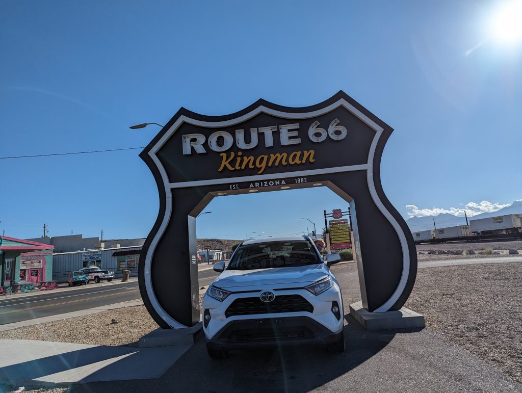
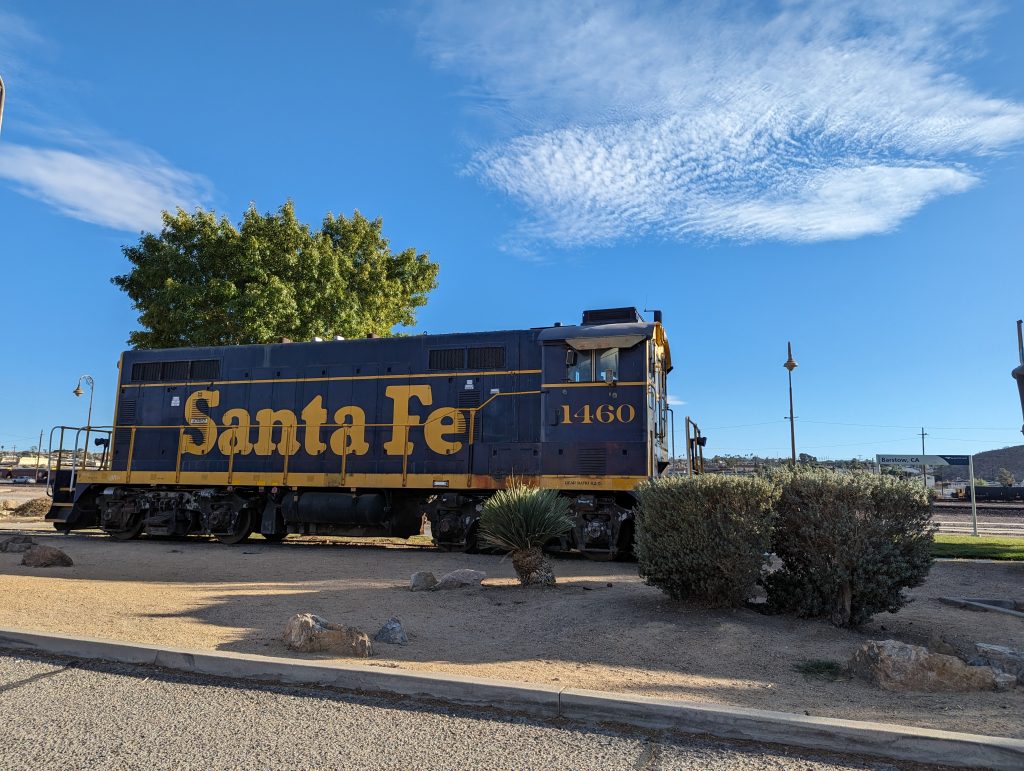
- Next stop is Kingman, where there is an old Santa Fe Railroad steam locomotive and a large visitor center. We take a quick look inside and send another postcard (remember we send postcards to our families from the entire route?).
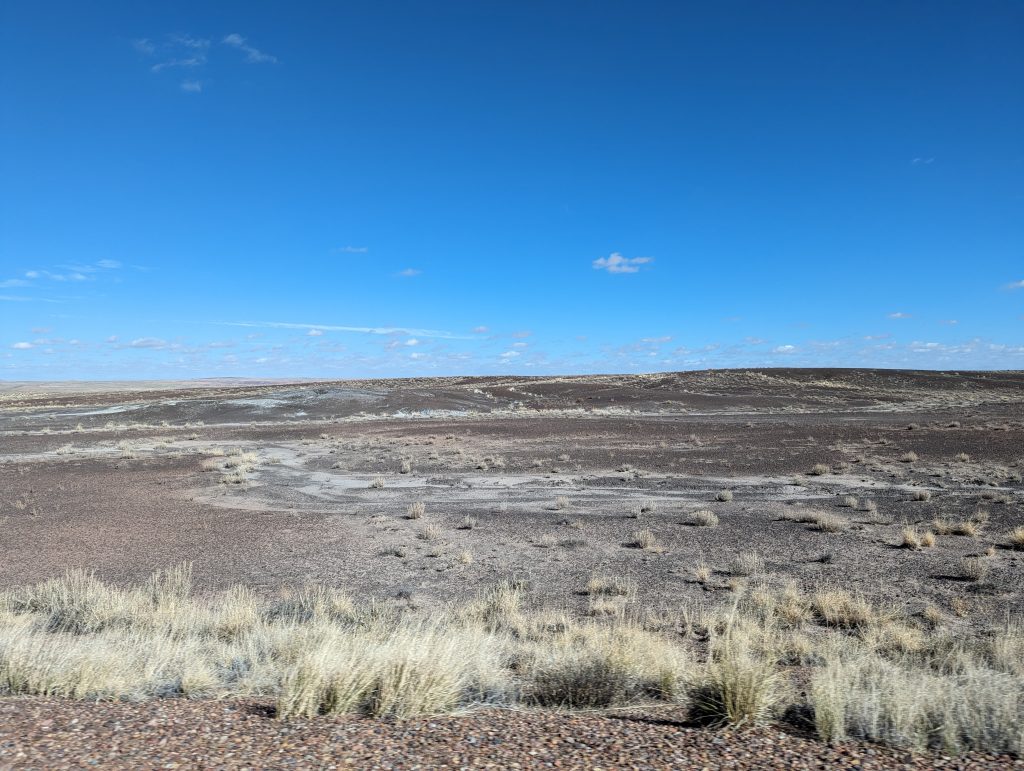
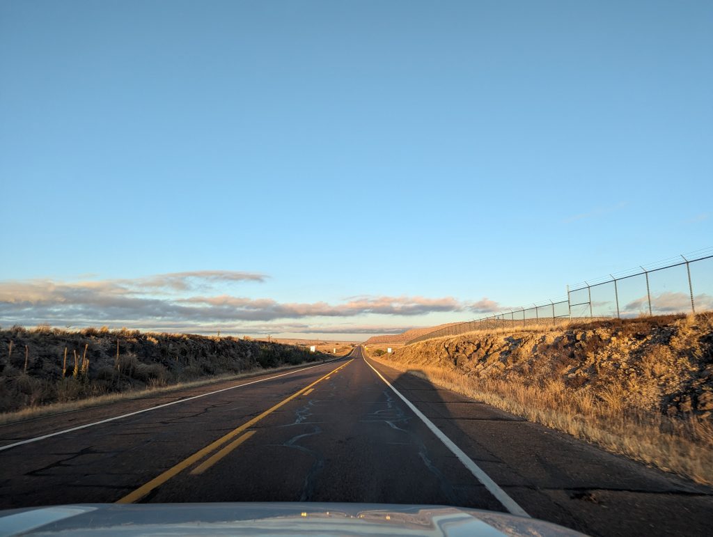
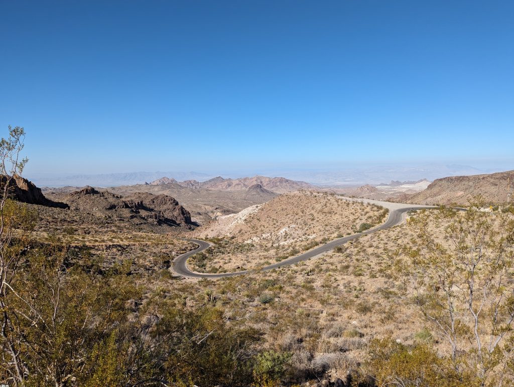
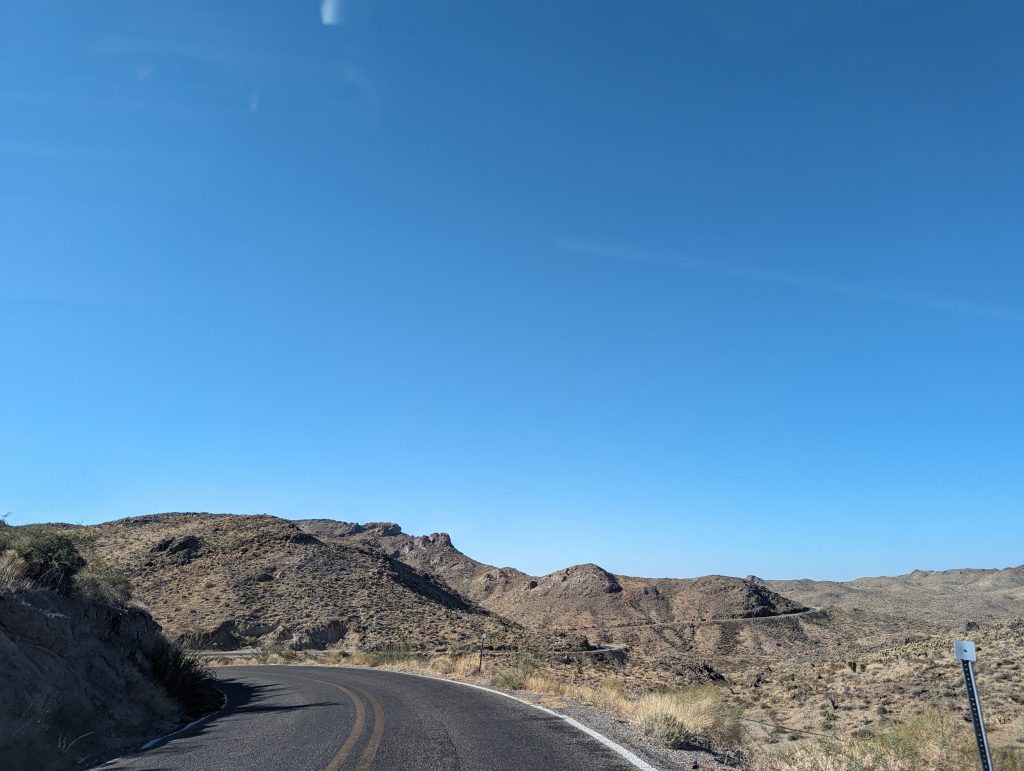
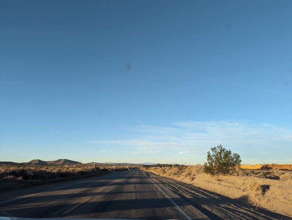
- We continue through the increasingly hilly desert and through lots and lots of nothing – very scenic nothing.
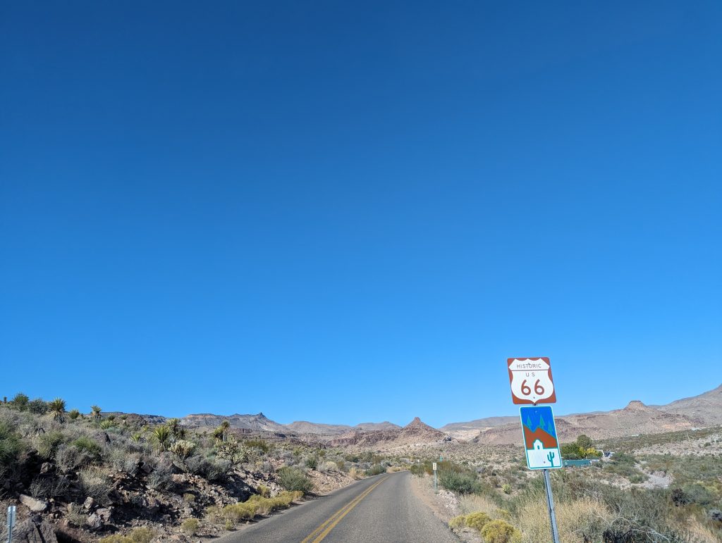
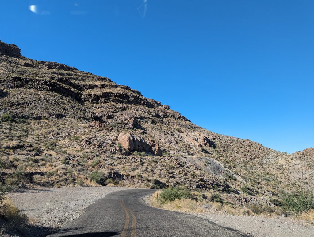
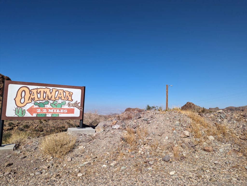
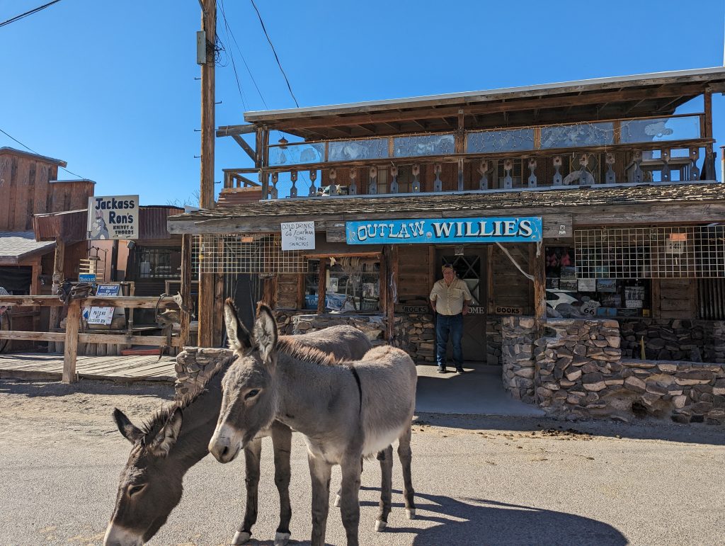
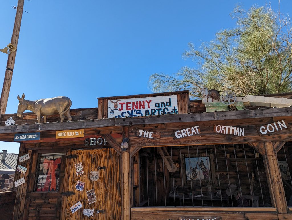
- We drive over the historic Black Mountain Pass, which takes us through the village of Oatman. The village is famous for the wild donkeys that roam freely here and especially like to chill out on the road, which is why you should drive extra slowly around every bend.
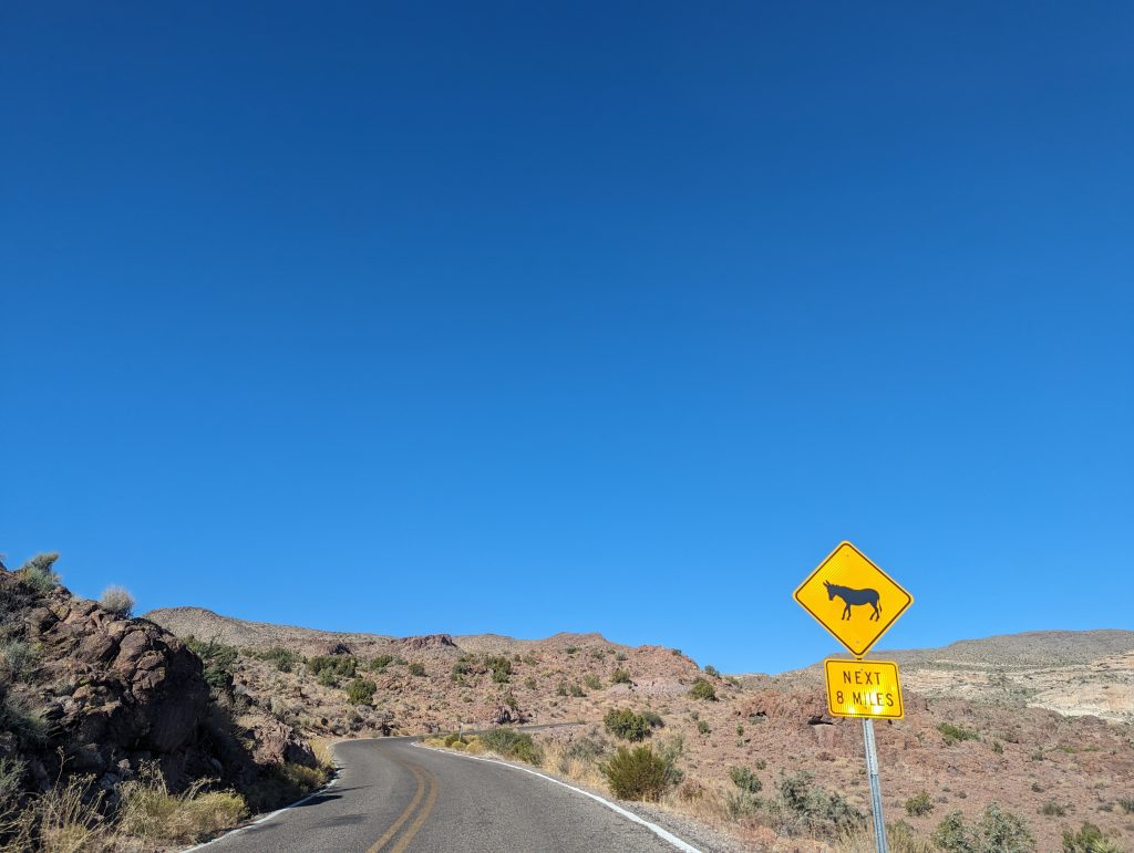
- This turns out to be a good idea, because the first donkeys cross our path before we reach Oatman – cool!
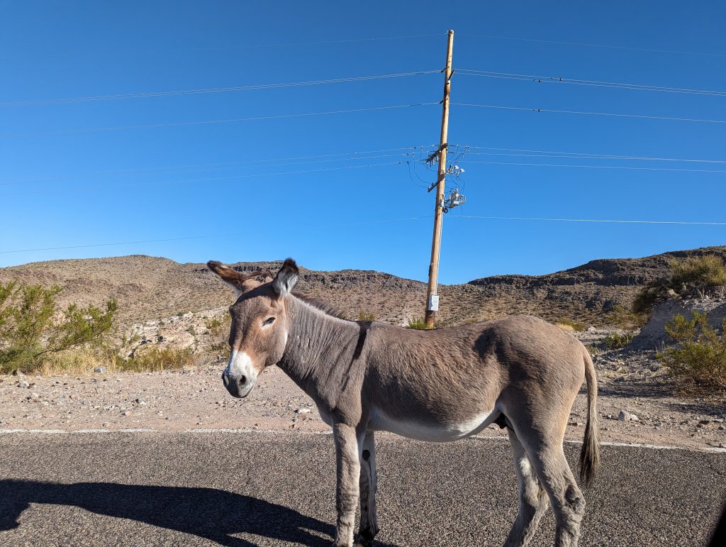
- Oatman itself has a western town flair and is actually full of donkeys, which, a bit like Indian cows, know that cars and people won’t hurt them and don’t exactly behave shyly.
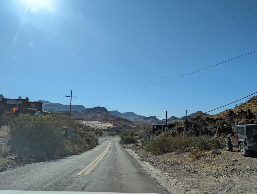
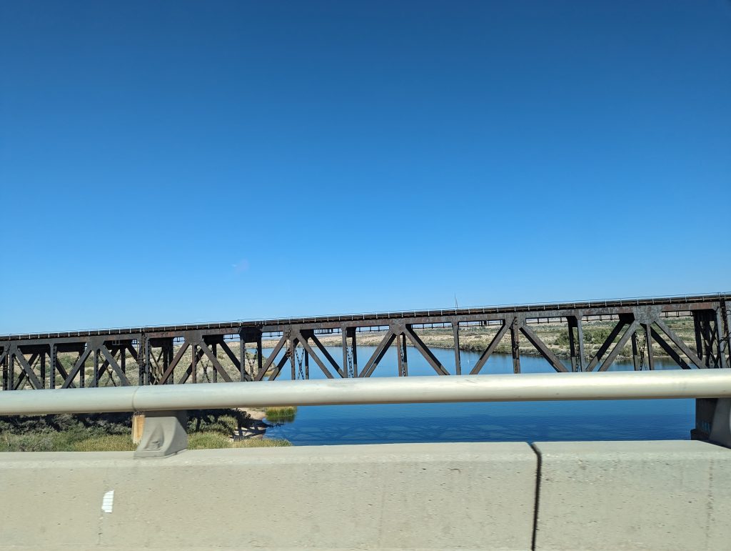
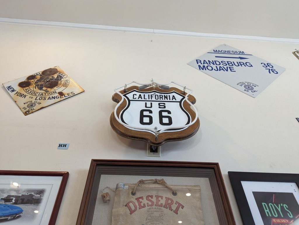
- Shortly after the pass, we reach the border with California, which greets us with a historic bridge that is no longer passable, but as the “historic66.com” website says, if you have a car that is suitable for Sandy Washes, you can definitely try to drive the course of historic Route 66.
- We decide that our SUV, which even has a “Sand and Dirt” button that, as far as we know, simply turns off the skid assistance, is very well suited for sandy washes, so we try our luck.
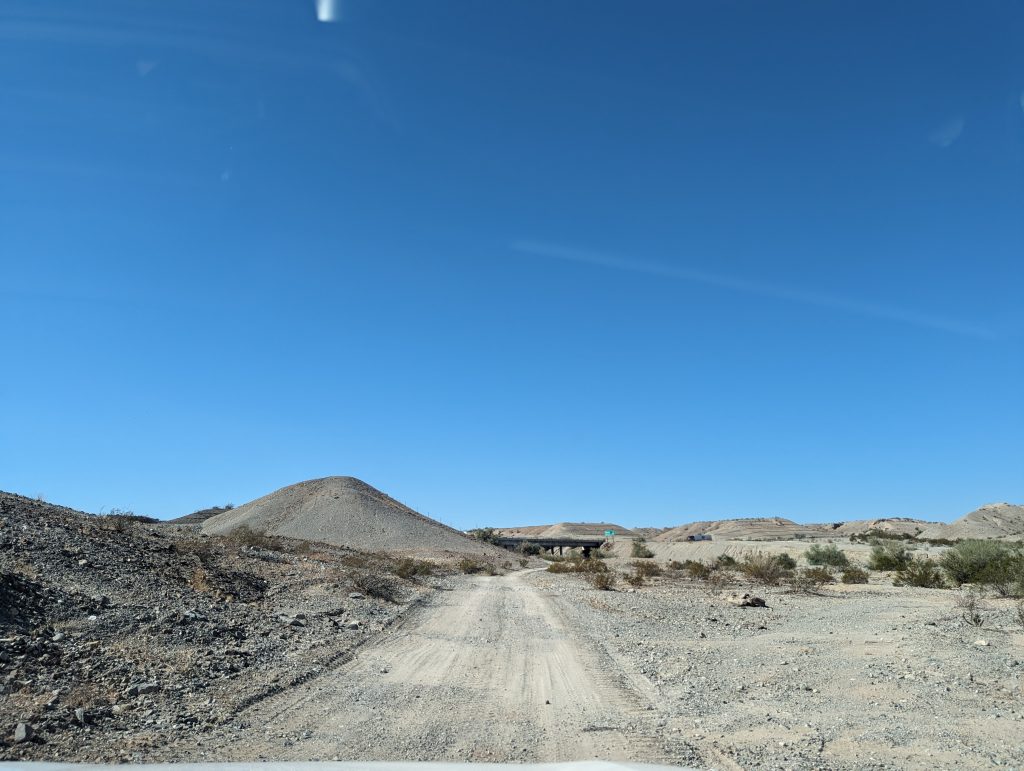
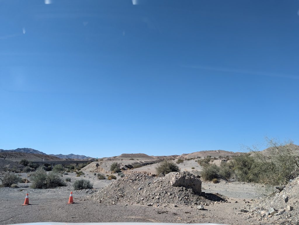
- Let’s put it this way: it’s an experience, but at some point we realize: Turning around is the best tactic.
- Firstly, we don’t really know where the proper road continues and where exactly we should look for it and secondly, even our car reaches its limits when it has to drive over a cliff edge…and we don’t know it that well after 10 days of driving that we would risk it…
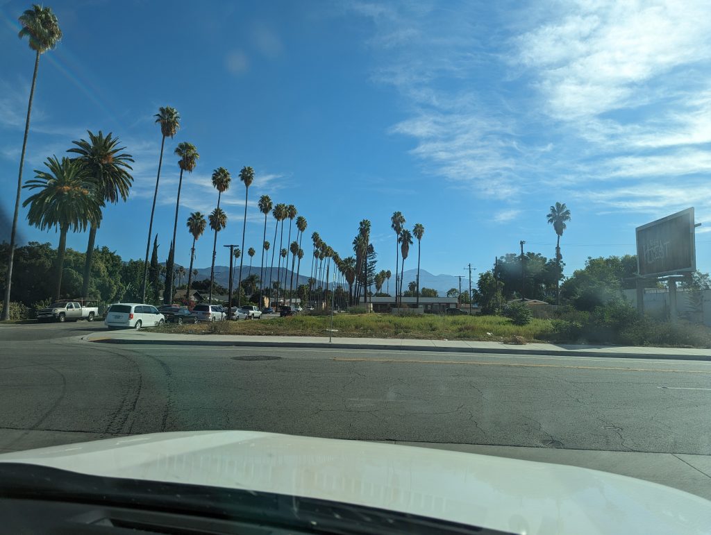
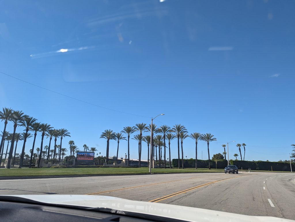
- So we reach California via the interstate, where the streets are immediately lined with palm trees – just as you would expect.
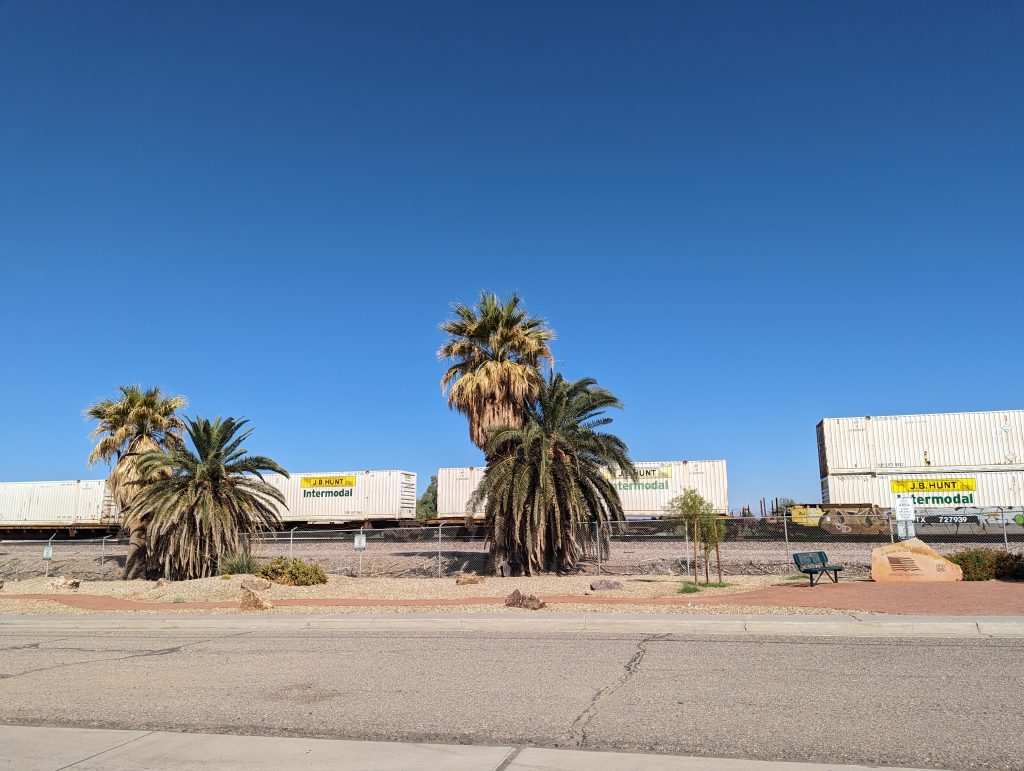
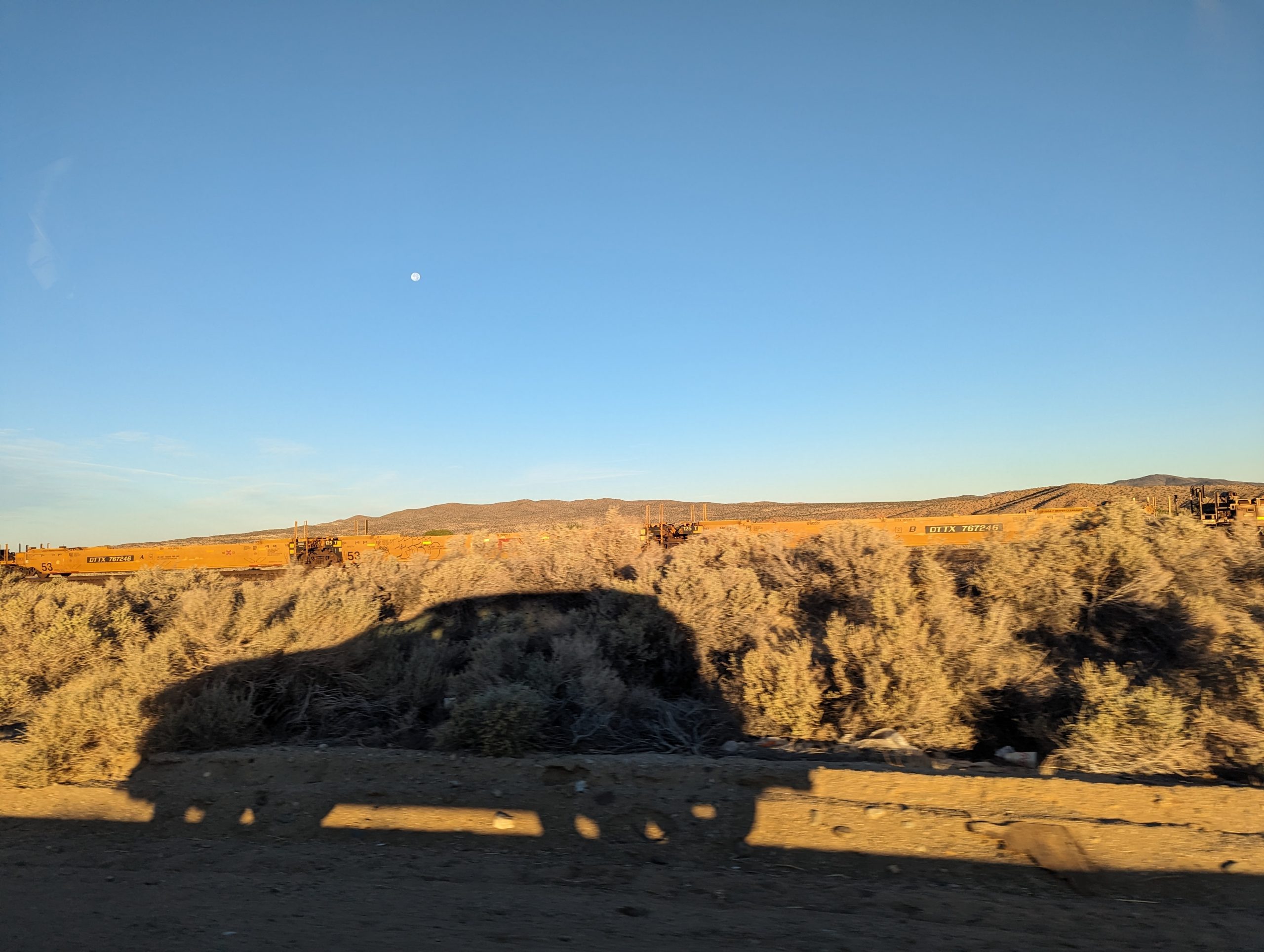
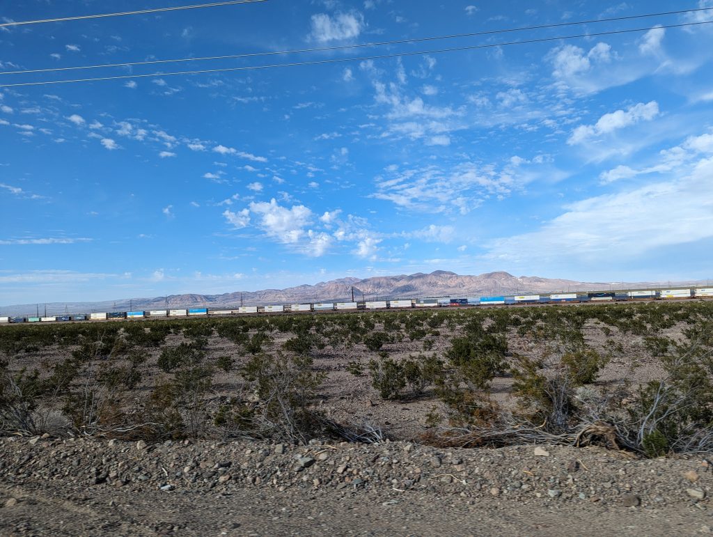
- We continue through the Mojave Desert and always along the Santa Fe railroad line, which has been with us since – wait for it – Santa Fe.
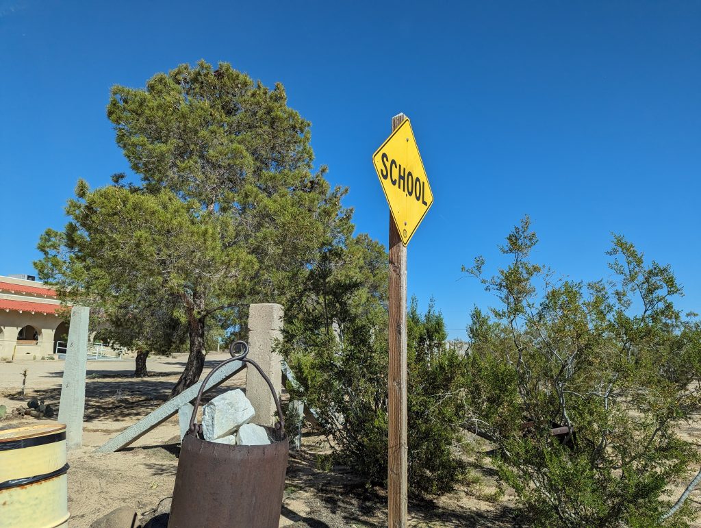
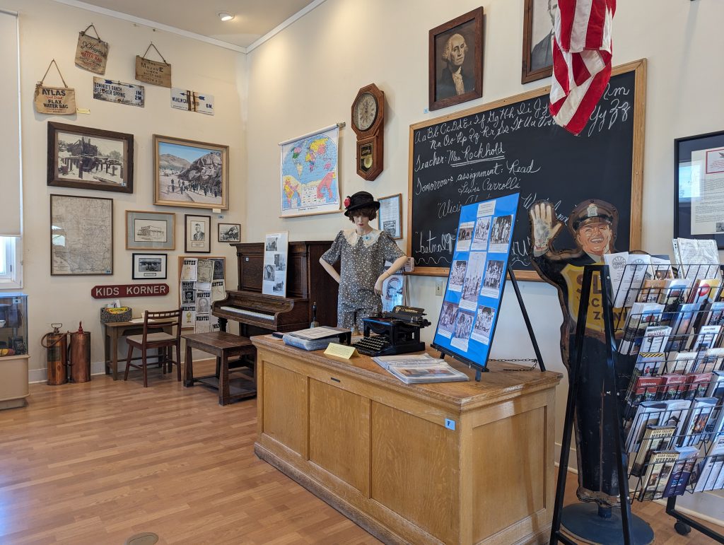
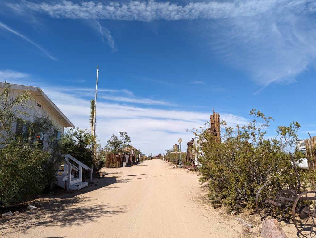
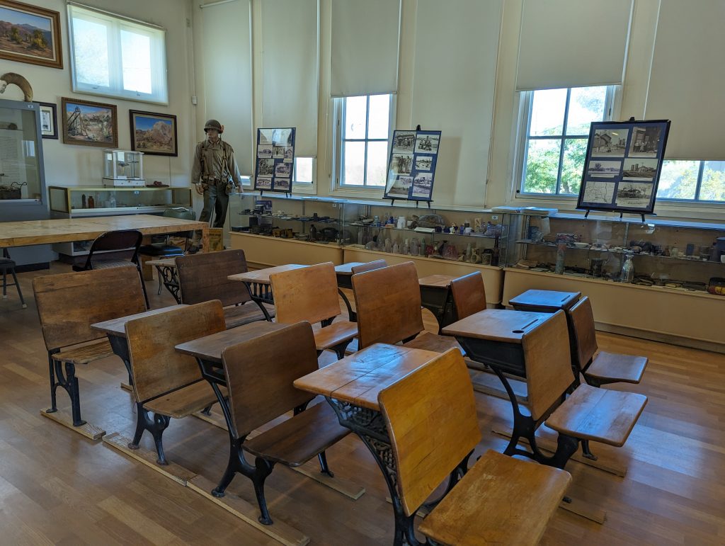
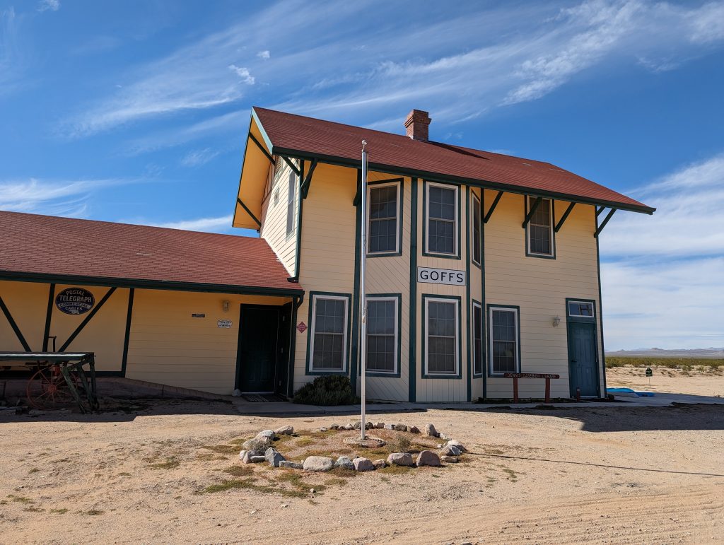
- In the “village” of Goffs there is a schoolhouse dating back to 1914. We decide to pay it a visit, which turns out to be more exciting than expected.
- The guides are delighted to have visitors and we immediately have a guide to tourist ratio of 4:1.
- They tell us that Goffs was once a sizable town (although I’m not sure if the term “town” is suiting…) that became important thanks to the construction of the Santa Fe Railroad for the following reason: In order to get over Black Mountain Pass, the locomotive had to be supported by another locomotive, which was hitched up here in Goffs – likewise, the locomotives were uncoupled here from descending trains.
- This changed, of course, when diesel engines became more powerful. All of a sudden, the complicated and time-consuming procedure was no longer necessary, and so Goffs fell into oblivion and mutated into one of the ghost towns so often found along Route 66.
- Other than that, the school museum is more of a wild Mishmash of school artifacts mixed with Route 66 artifacts.
- What’s really cool is that they have faithfully recreated the former railroad building that used to be here.
- We set off – onwards through the Mojave Desert and lots of nothing.
- In Amboy, we pass the historic Roys Motel, which looks very closed but has a “Vacancy” sign hanging in front of it. Matthäus says: “Yes, a lot of vacancy, even vacancy of an owner.”
- Also in Amboy, we make a short stop at an equally historic petrol station, where I get some coffee and we fill up our water bottles.
- I spill the coffee all over the driver and passenger areas of the car on the dirt roads that follow…at least some of it ends up inside me.
- Shortly after Amboy is the Amboy Crater, a dormant volcano whose lava flow from the last eruption reaches just before the road, which looks fascinating.
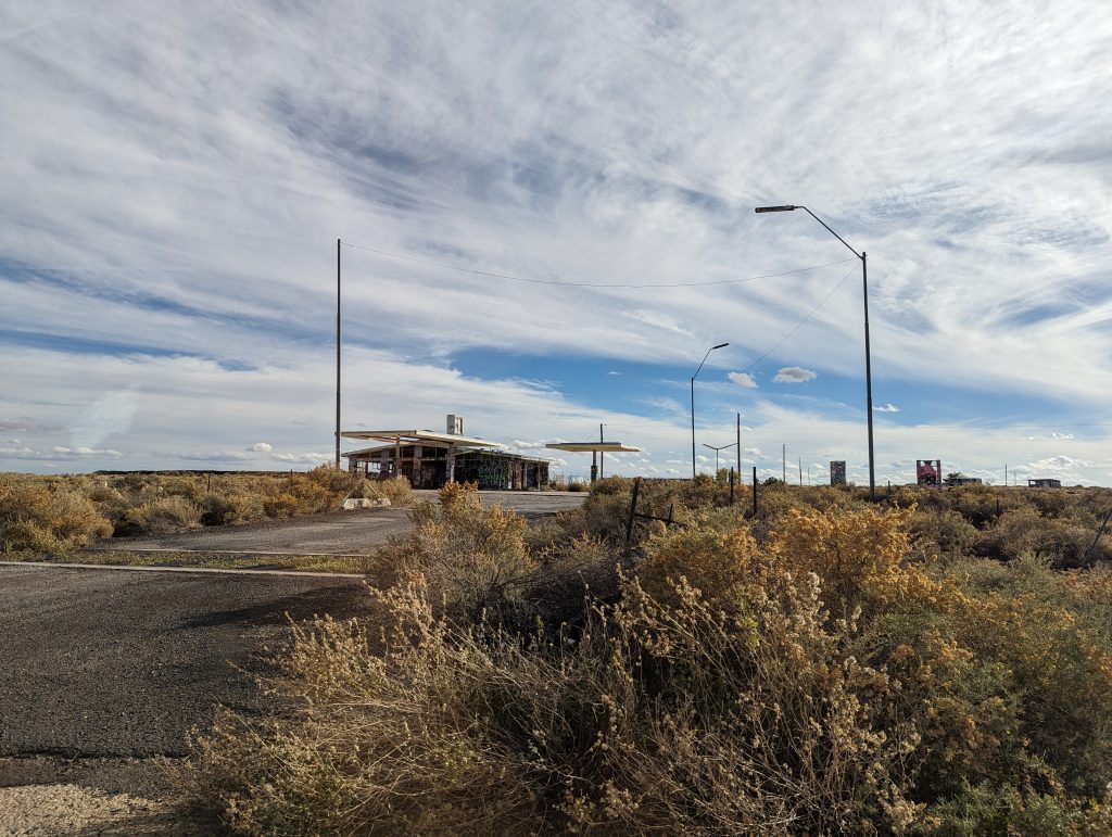
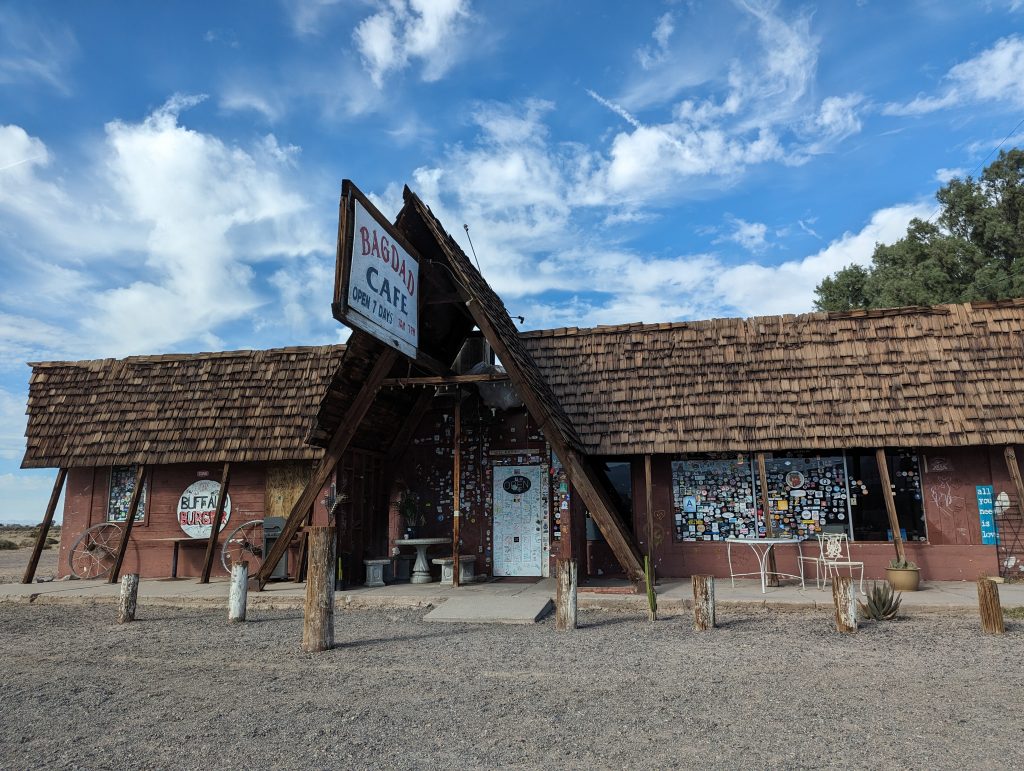
- We soon reach the Bagdad Café, which was once an integral part of Route 66, but now looks rather closed.
- The route continues along the railroad line into Barstow.
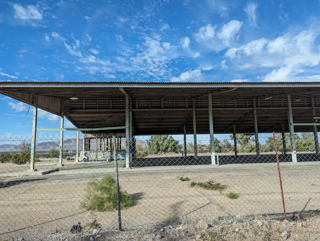
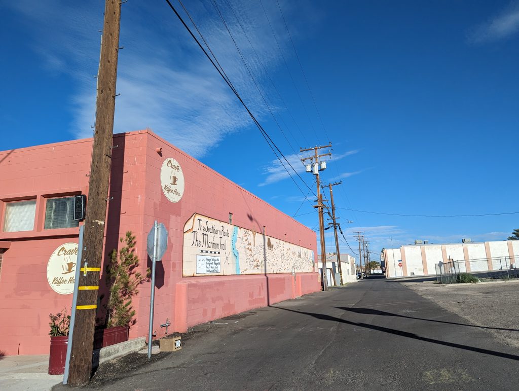
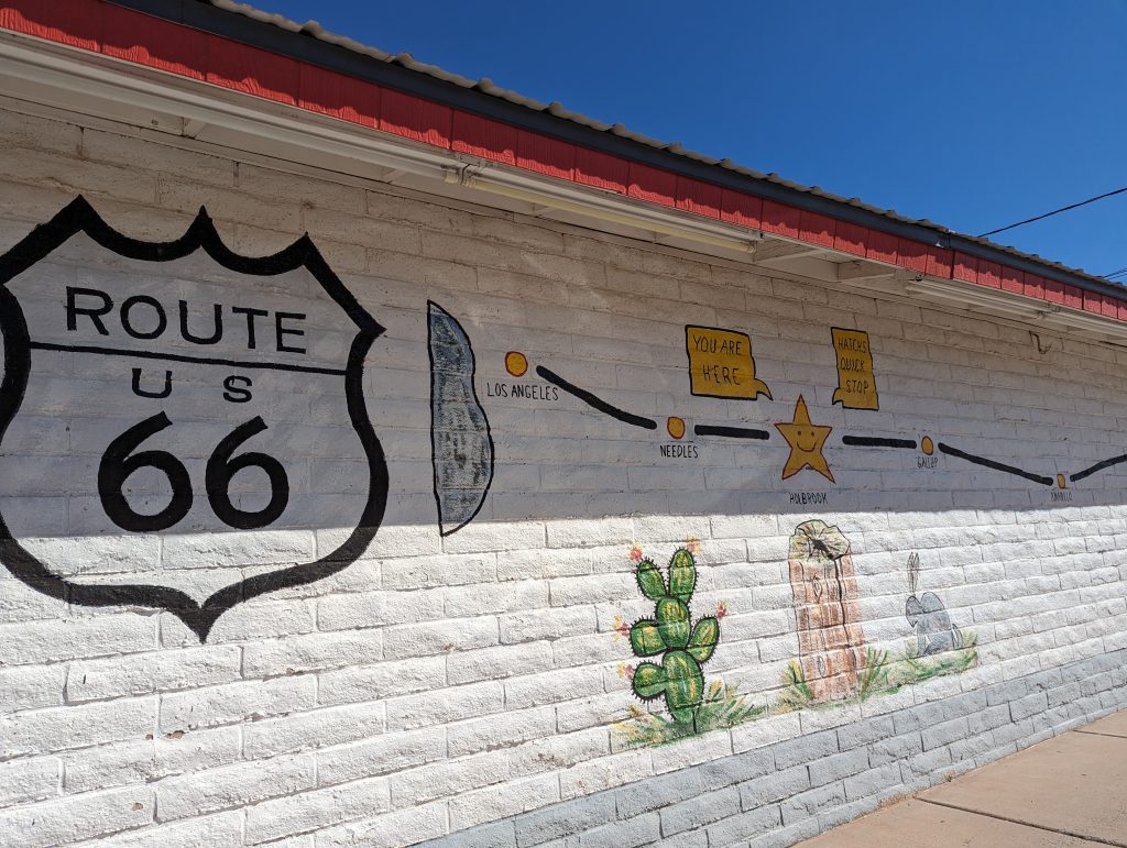
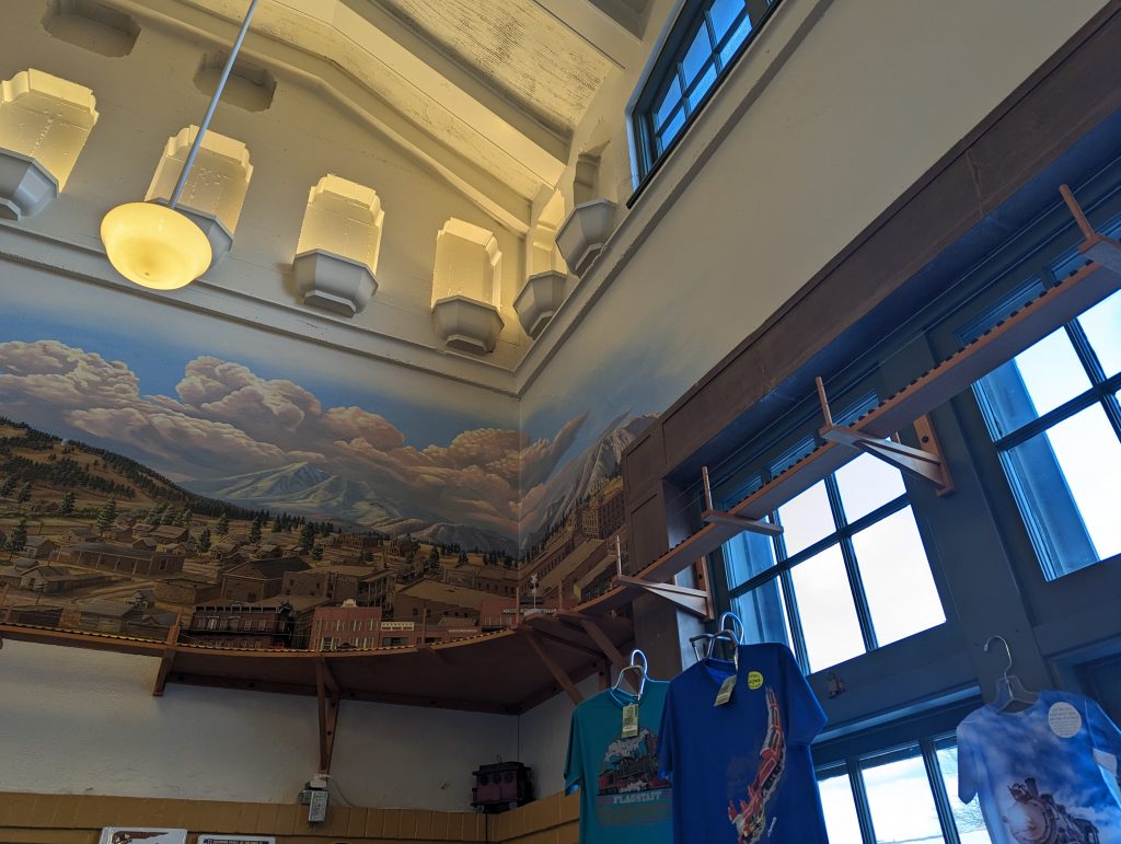
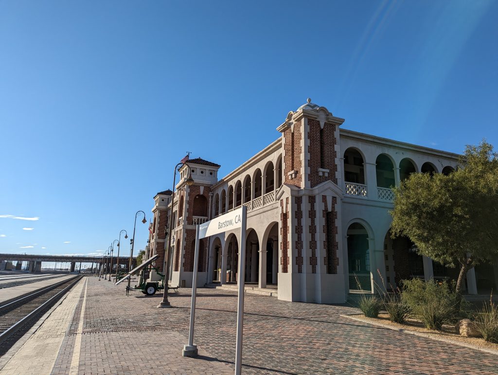
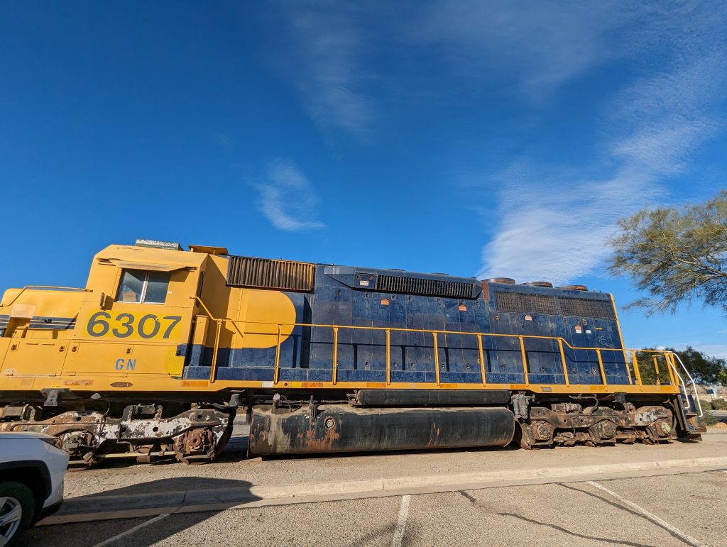
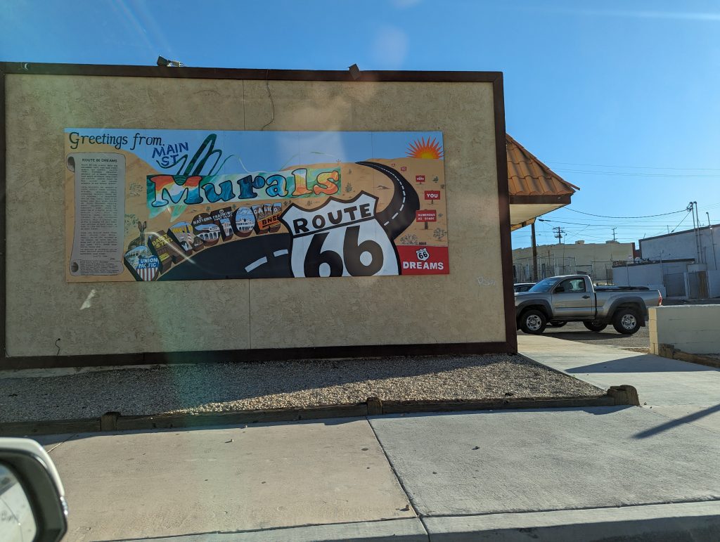
- There are some beautiful murals and a railroad museum, which is of course already closed when we reach Barstow, but I still want to take a look at the trains on display in front of it.
- Matthäus is a bit stressed as I have booked the climbing weekend and should be at Joshua Tree National Park by 6pm.
- So we drive from Barstow to Joshua Tree National Park super fast – and arrive almost on time, but that’s another story.
Monday, 30.Oktober
Where is the Giant Orange?
Barstow, CA – Santa Monica, CA (2448 Miles/ 3940 km)
- Last night we spent the night at the Economy Inn in Barstow, our last Route 66 motel.
- In keeping with the rhythm of the last few days, we get up at 6am to get an early start so that we can perhaps avoid the worst of the evening traffic in LA and reach Santa Monica in time for sunset.
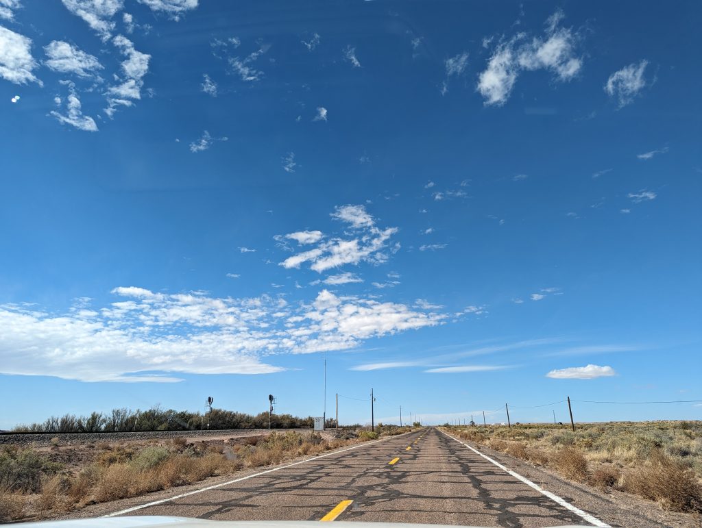
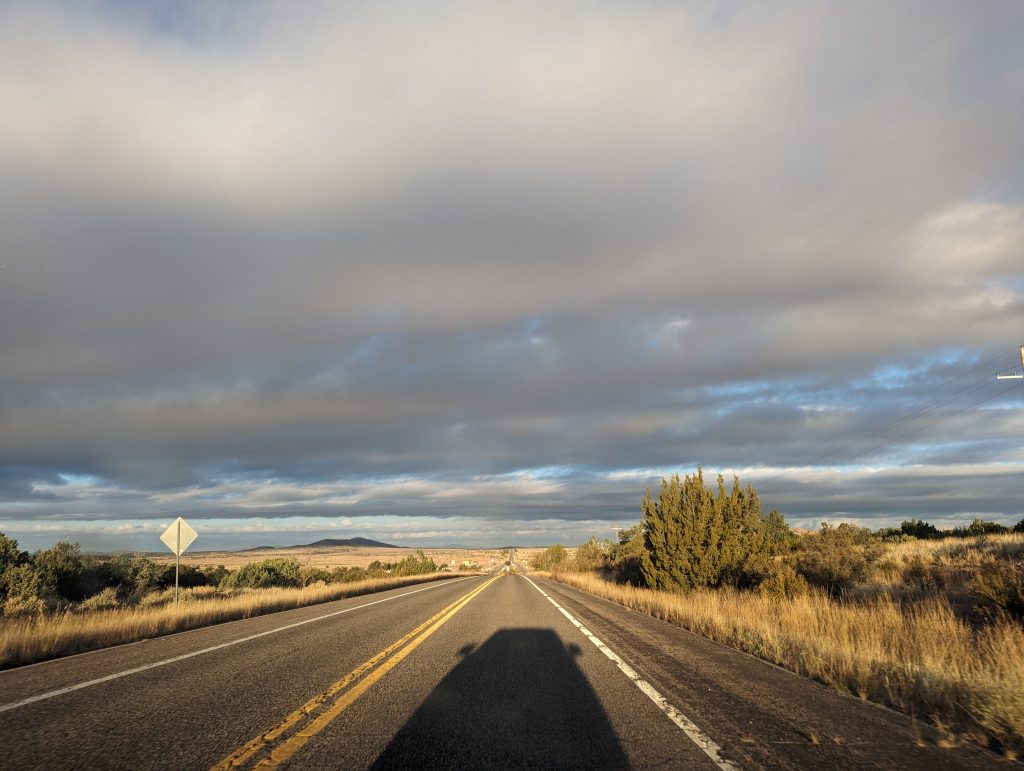
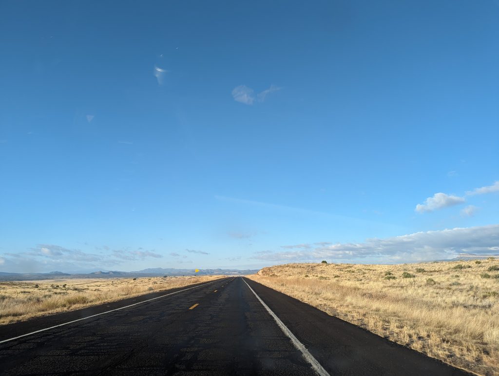
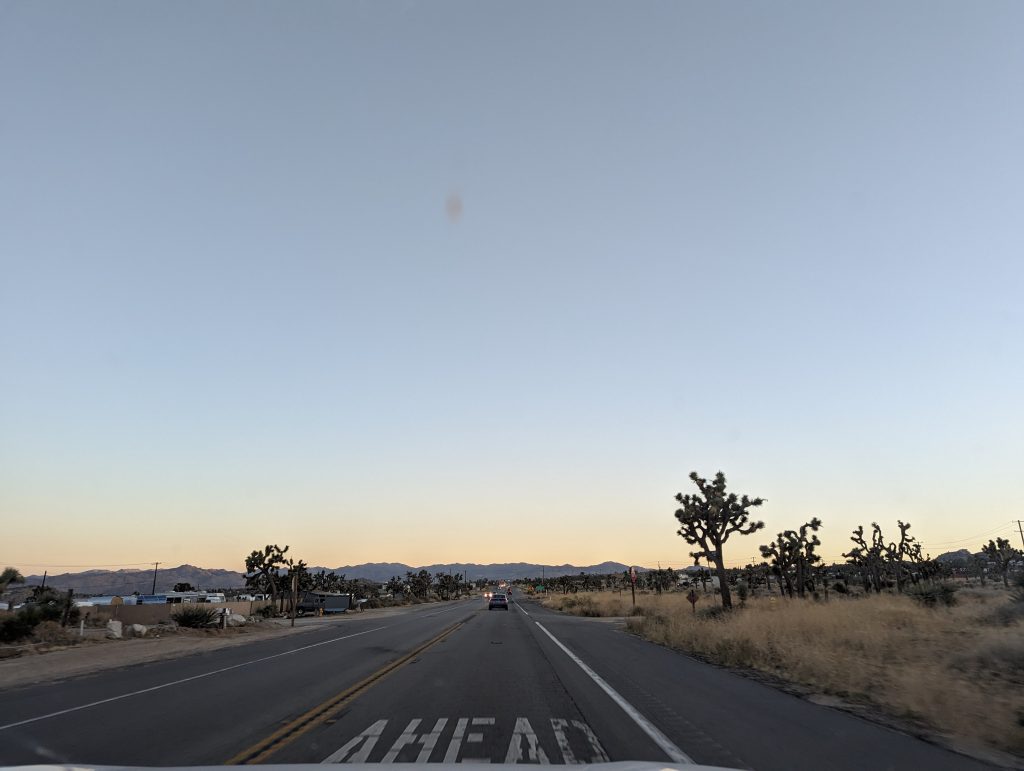
- The road still leads through the Mojave Desert and there is nothing but sand and small desert shrubs far and wide – it is beautiful in the morning light, but at the same time very lonely.
- We get that real road trip feeling again as we cruise along the dead straight road – so much so that we almost drive past Elmer’s Place.
- Elmer’s Place is a huge art installation by a somewhat eccentric artist who has decorated a huge area with the help of all kinds of bottles and other garbage that travelers on Route 66 have brought along.
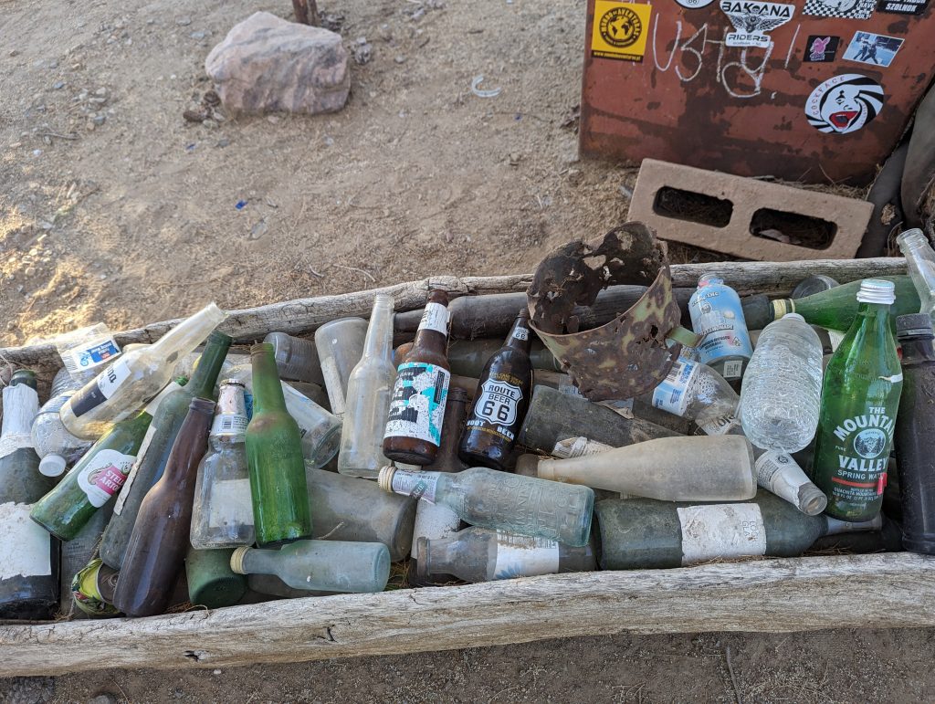
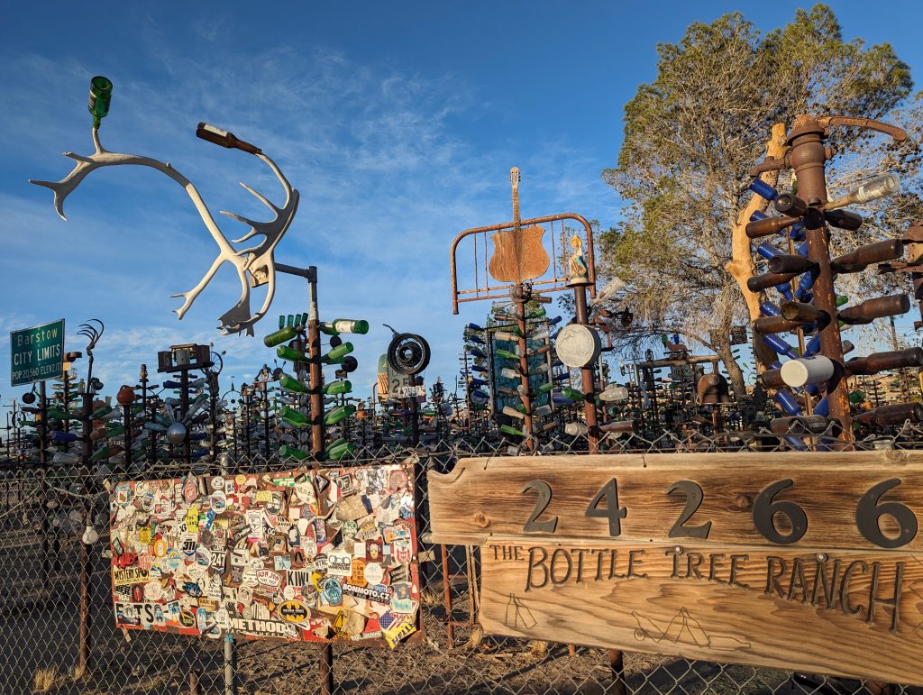
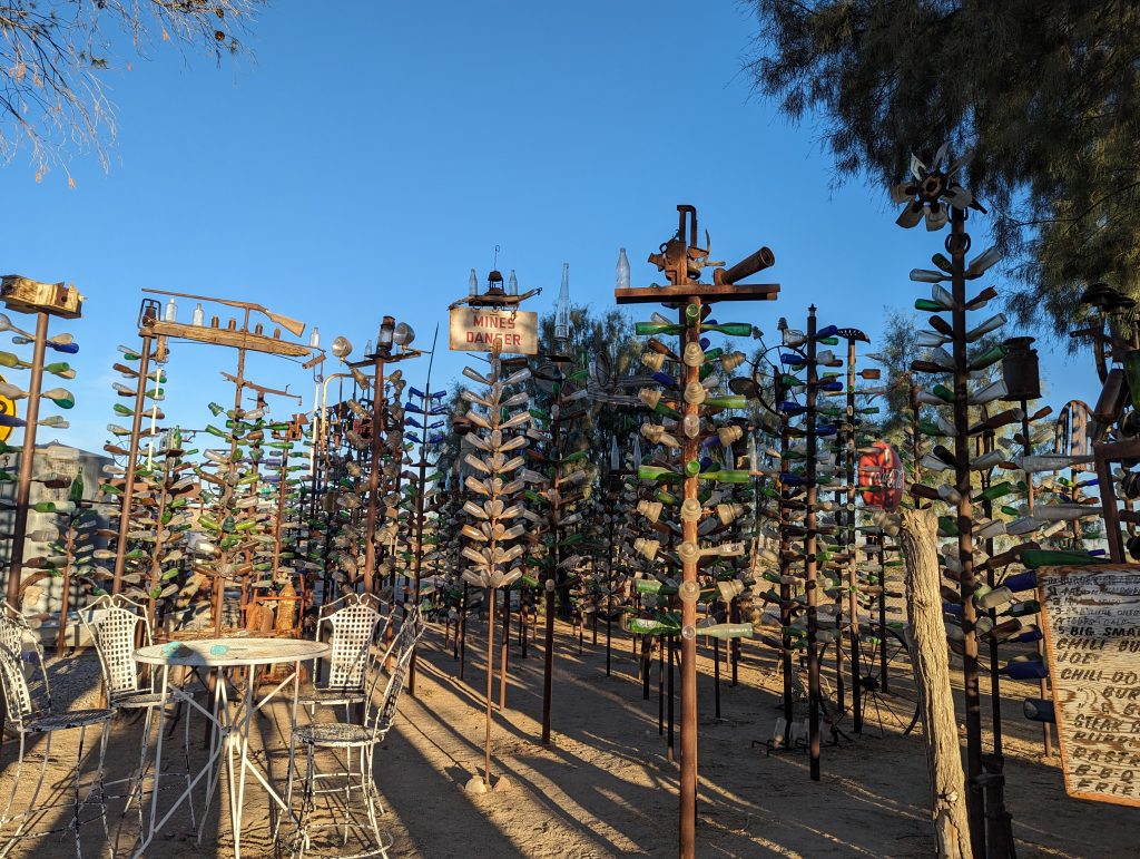
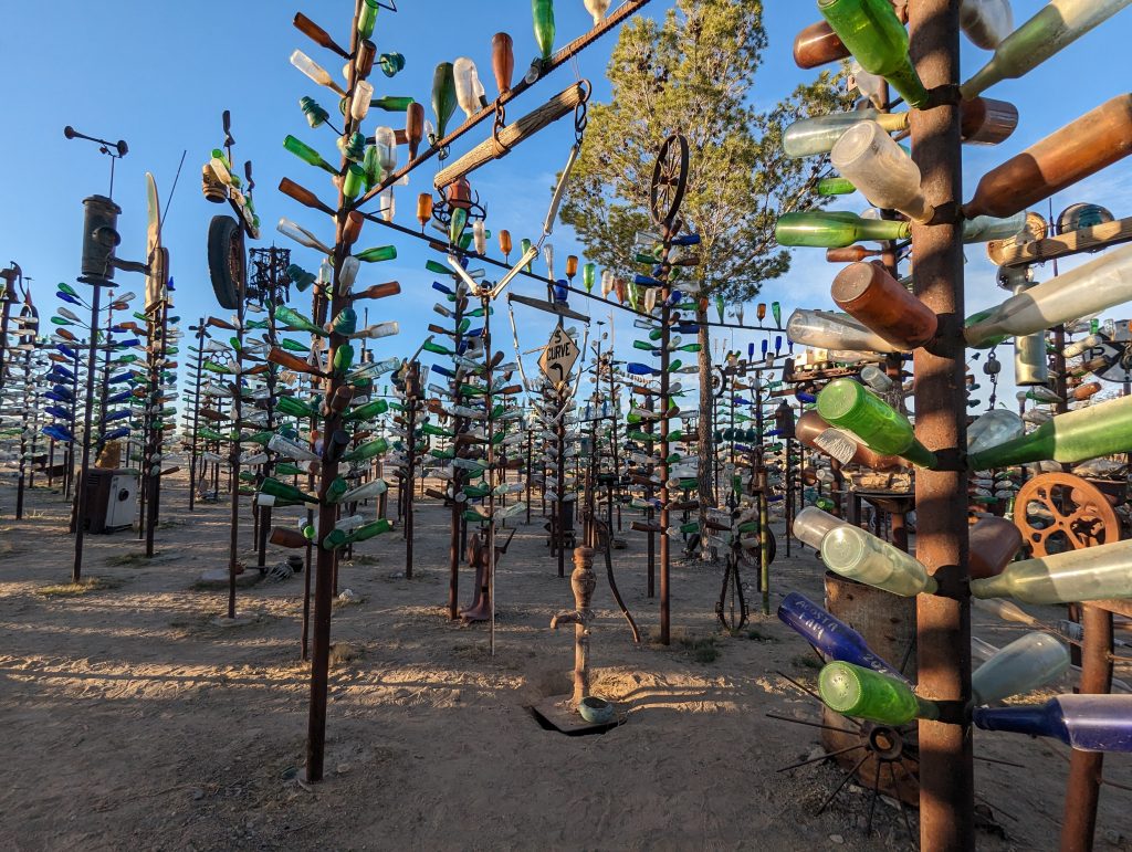
- At first it looks very closed and we almost don’t dare enter the grounds, but the numerous “Welcome” and “Come in!” signs convince us and we stroll through the bottle sculptures that seem to stretch endlessly across the area – fascinating.
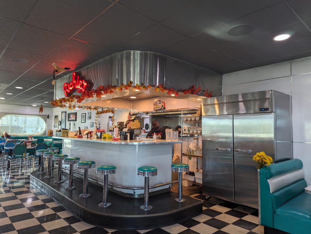
- Next, we reach the small town of Victorville, from where we head uphill to Cajun Pass – but this time via a well-maintained road. Here the Summit Inn was once located, a popular diner for Route 66 travelers, which – like so many other places – has since closed.
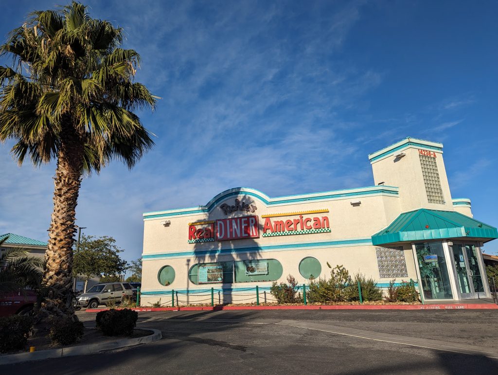
- Instead, we make a stop in Victorville at Richie’s Real American Diner, where we eat a breakfast that can certainly compete with Denny’s breakfasts: Bacon, Egg, Oreo Milk Shake, Coffee with Refills and a burrito.
- After we have crossed the pass, the road leads downhill towards San Bernadino, the first suburb/foothills of Los Angeles, where immediately the traffic gets heavier.
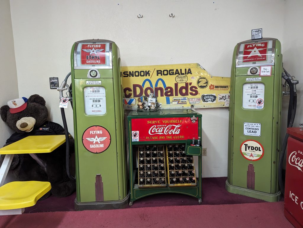
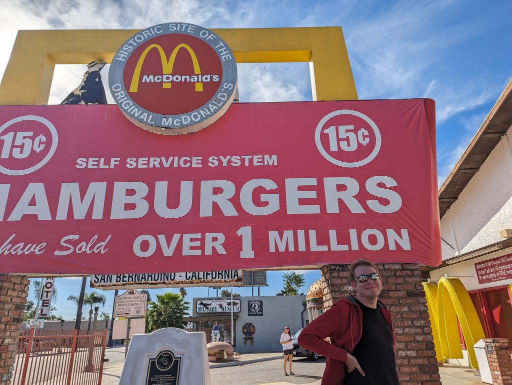
- San Bernadino is home to the first McDonalds, the origin of the huge empire, which now houses a museum full of curious collector’s items that we take a look inside.
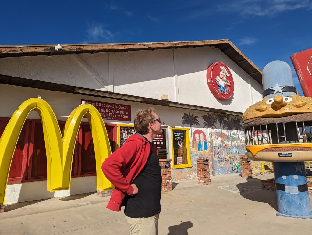
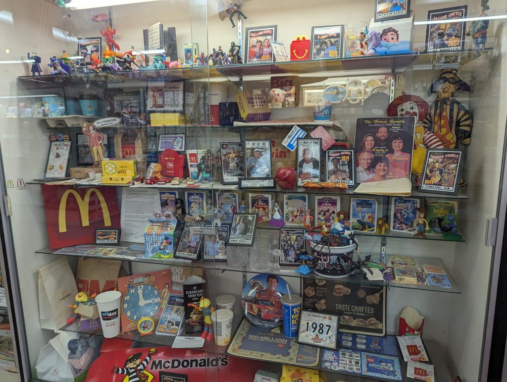
- There are funny things from all sorts of countries, such as a McRaclette from Switzerland or a collection of Matchbox trains from Japan.
- A little later, there is supposed to be a “Giant Orange”, but we search for it in vain – it should have made us suspicious that even Google doesn’t know it.
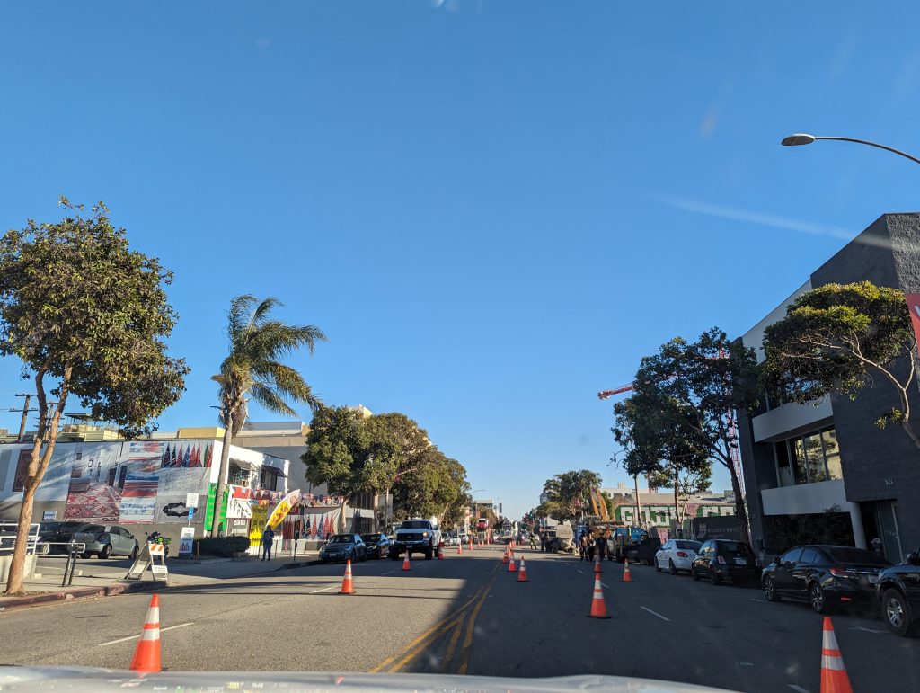
- From here, the rather tough part of the route begins – the many traffic lights and the increasingly heavy traffic make progress much more difficult and we only crawl on slowly.
- We pass through Arcadia, where Santa Anita Park is located, a horse racing track with buildings in Art Deco style, which is supposed to be well worth seeing. Unfortunately there are no races taking place at the moment and the tickets are apparently sold out well in advance.
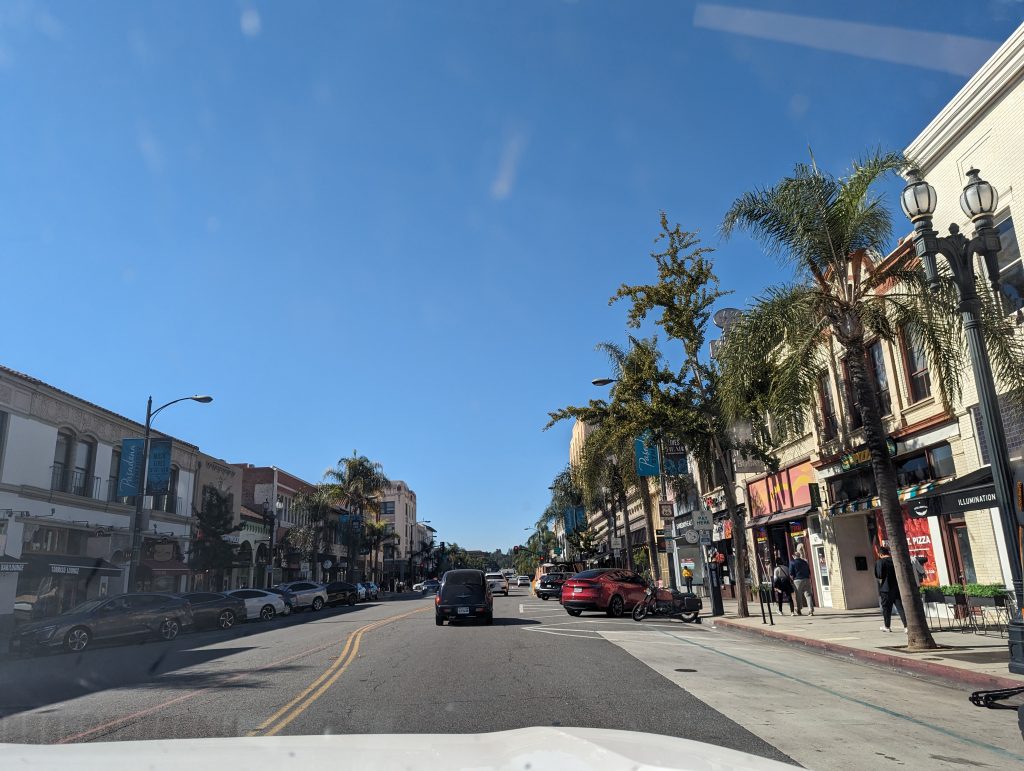
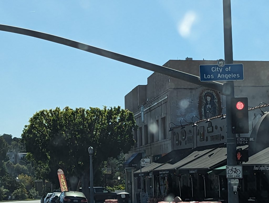
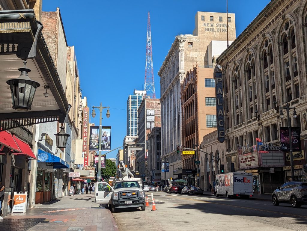
- Next we reach Pasadena and via Broadway Los Angeles Downtown, where the original Route 66 ended (which is only recognizable thanks to a very small sign).
- Our guide from 1949 also writes that the descriptions end in Downtown and if you want to continue to Santa Monica, please ask locals for directions – well, that’s how it worked back then.
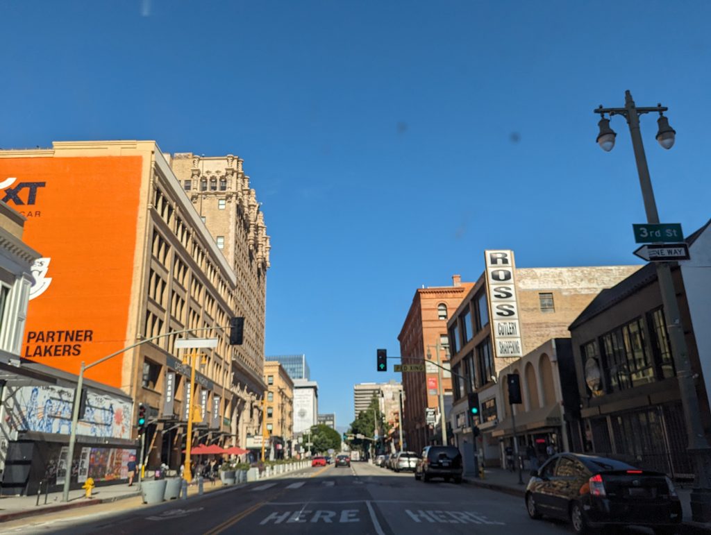
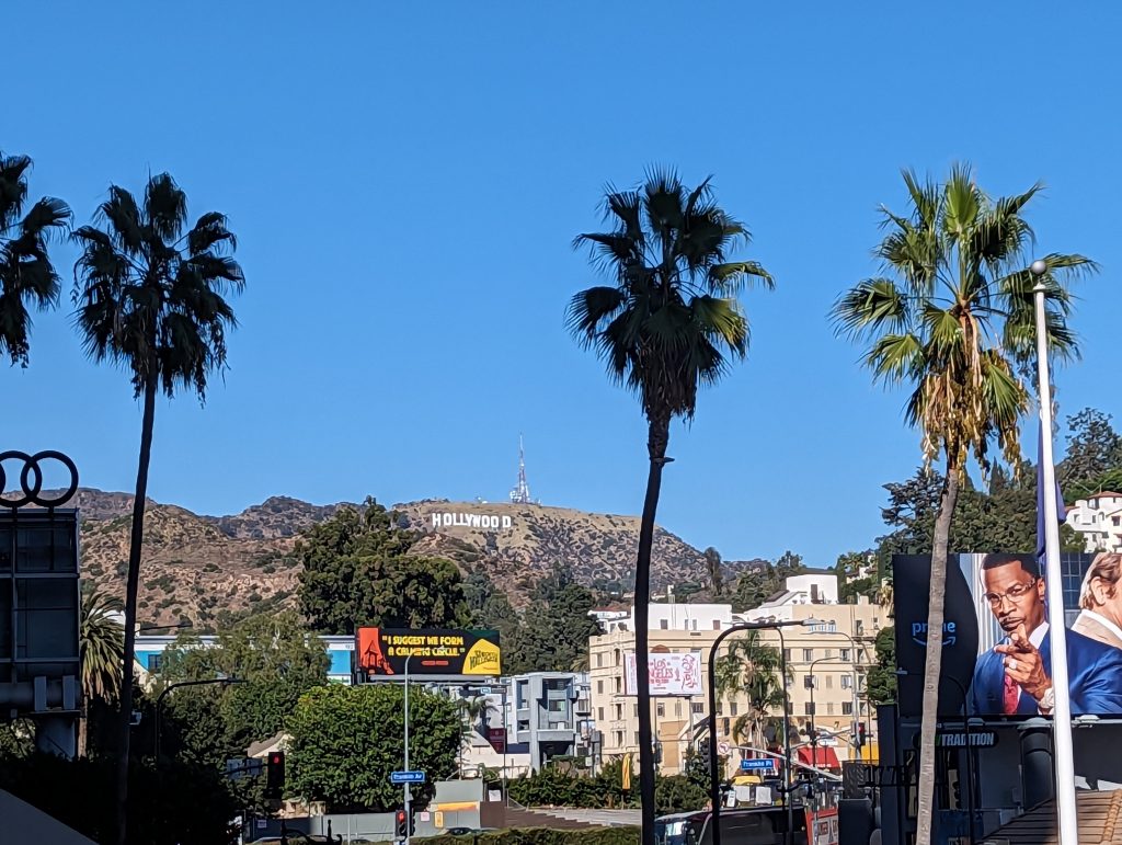
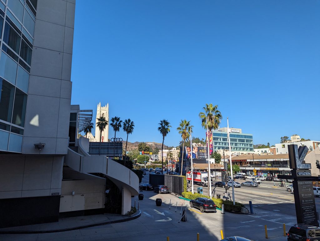
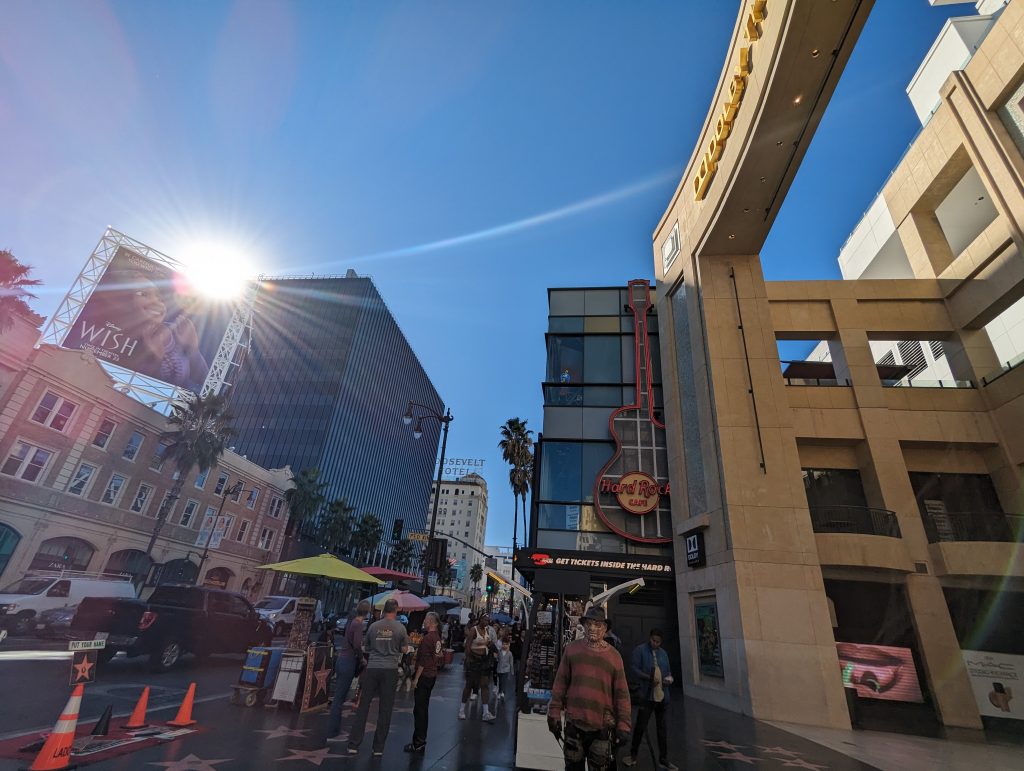
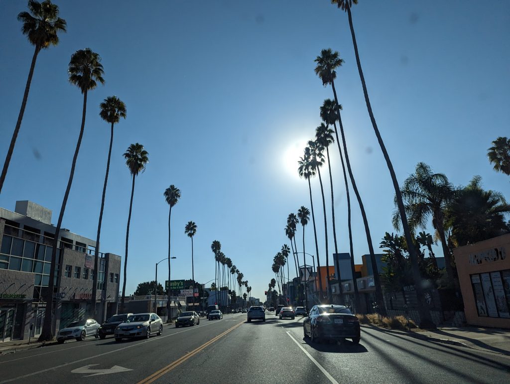
- We leave downtown LA again and make our way along Sunset Boulevard towards Hollywood, which I imagined to be much fancier than it looks.
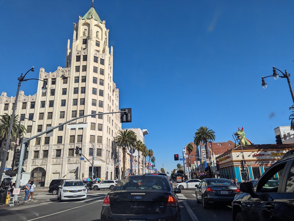
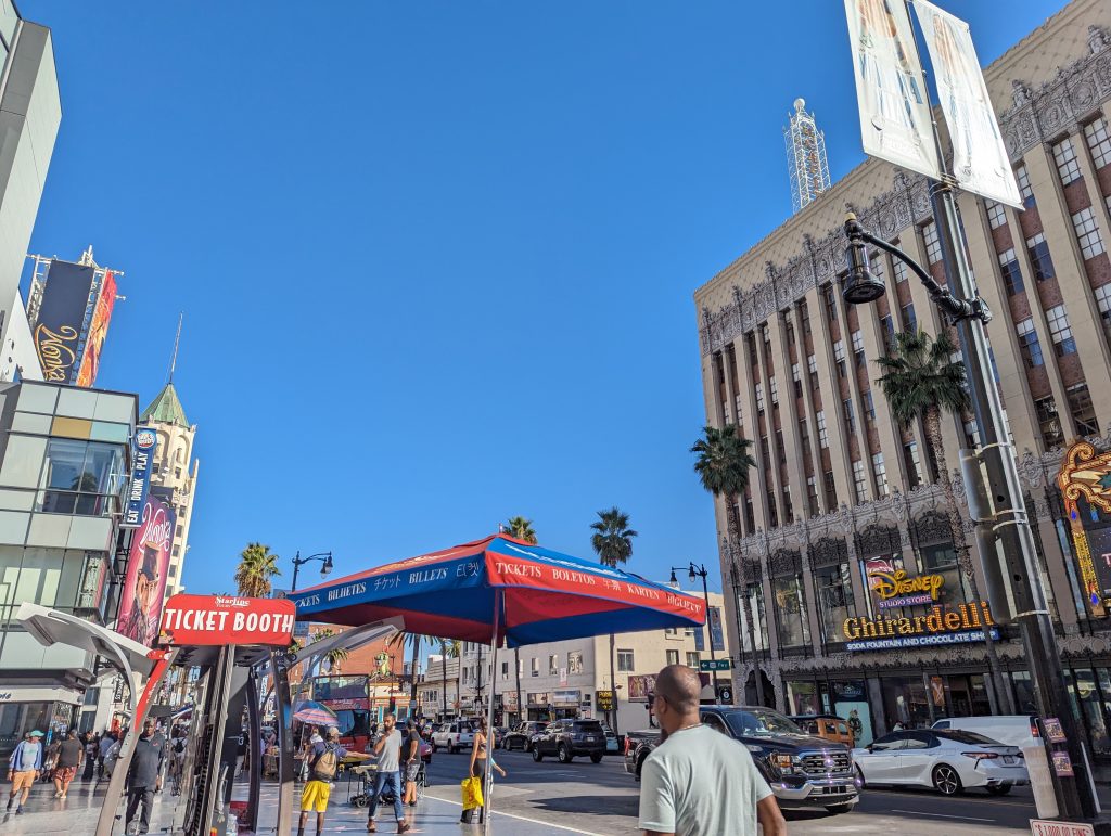
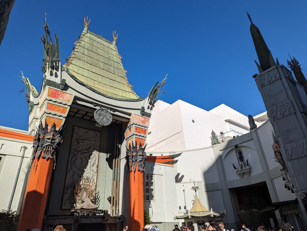
- We decide to make a stop at the Walk of Fame and regret it shortly after when we get stuck in the worst traffic jam on our detour there from Route 66.
- We park in the huge Hollywood shopping center, from where we also have a view of the famous sign, and then set off for the Walk of Fame.
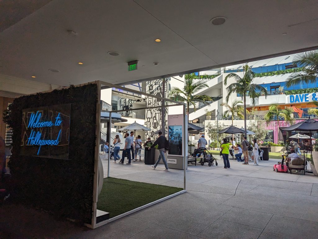
- The atmosphere is a bit like the Strip in Las Vegas: It’s full of people and there are stalls or people selling all kinds of things everywhere, while musicians and other artists entertain the crowd in between.
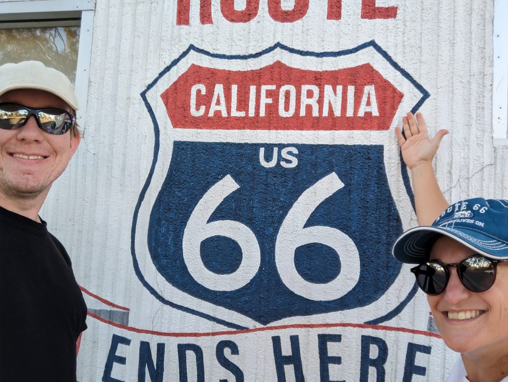
- We don’t linger too long before we set off along Santa Monica Boulevard on the last few miles of the route almost to the coast: Route 66 ends shortly before at a crossroads.
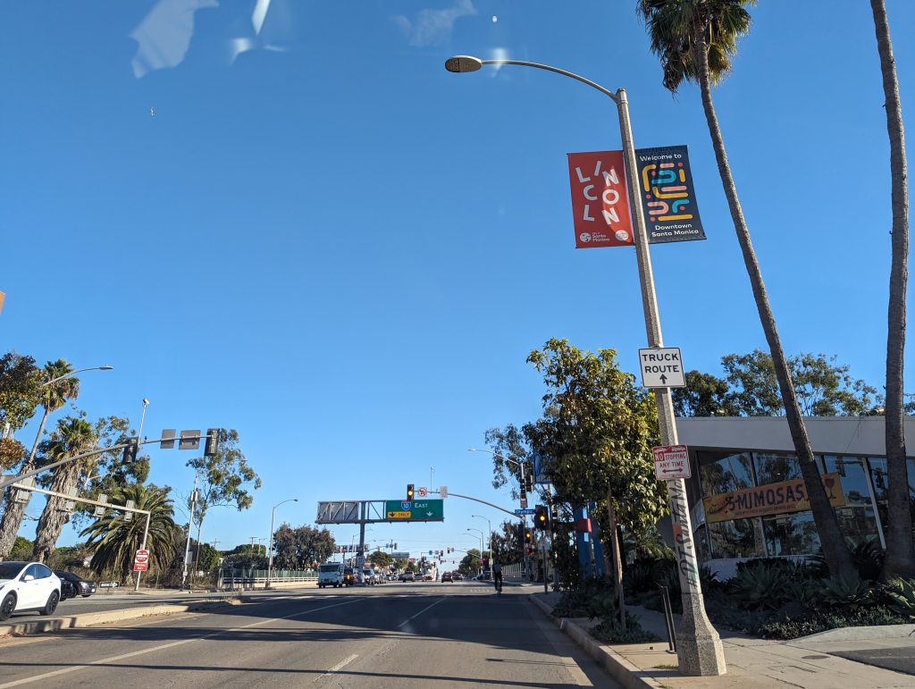
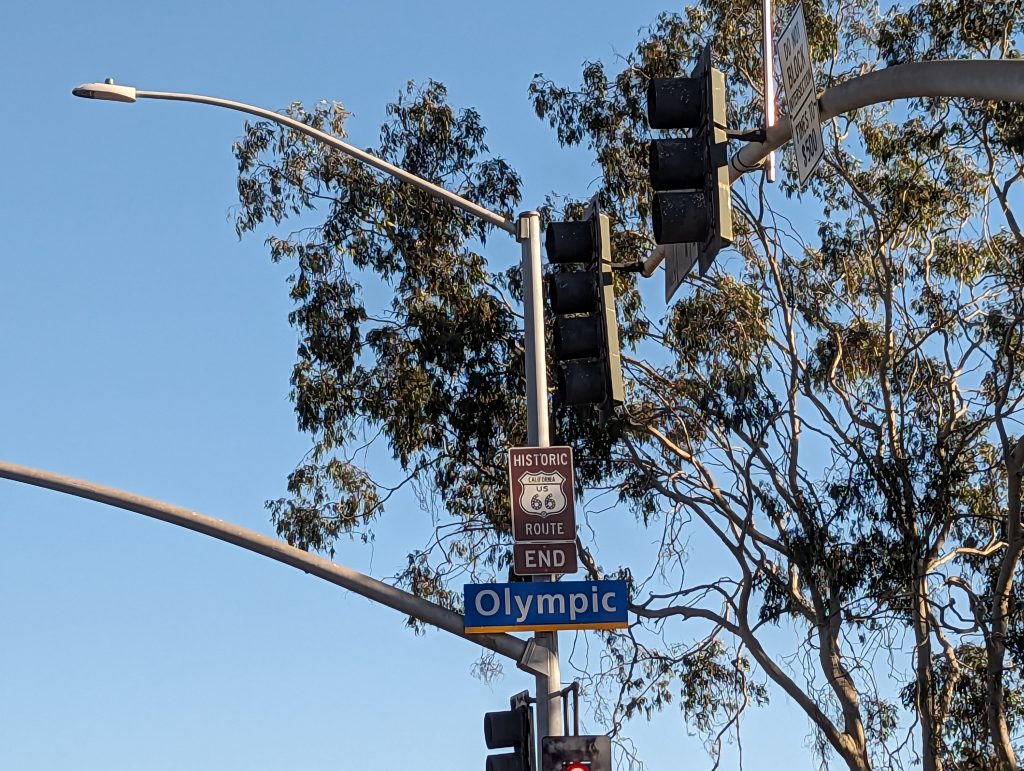
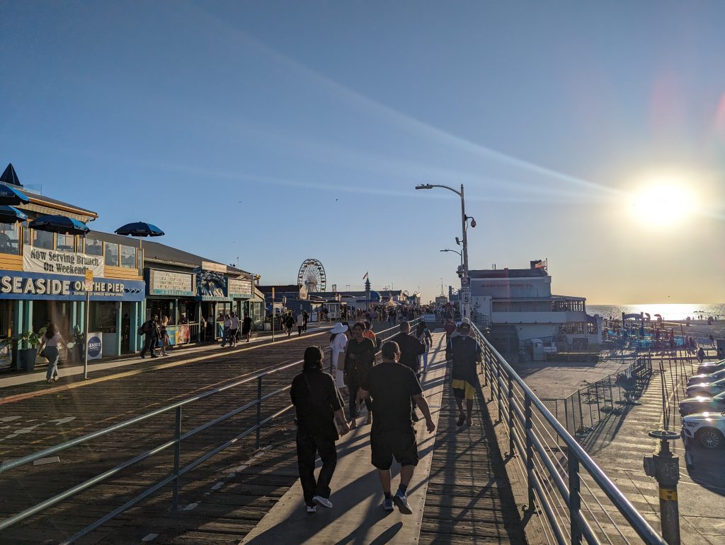
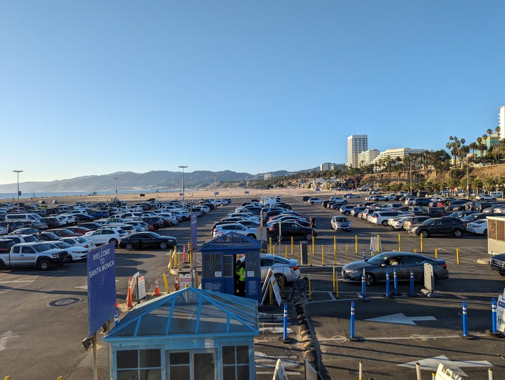
- We park nearby and walk back to take our finisher photo – as we did at the start – before heading into the hustle and bustle of the Santa Monica Pier.
- Ah, of course we’ll send out the last postcards from Route 66 first!
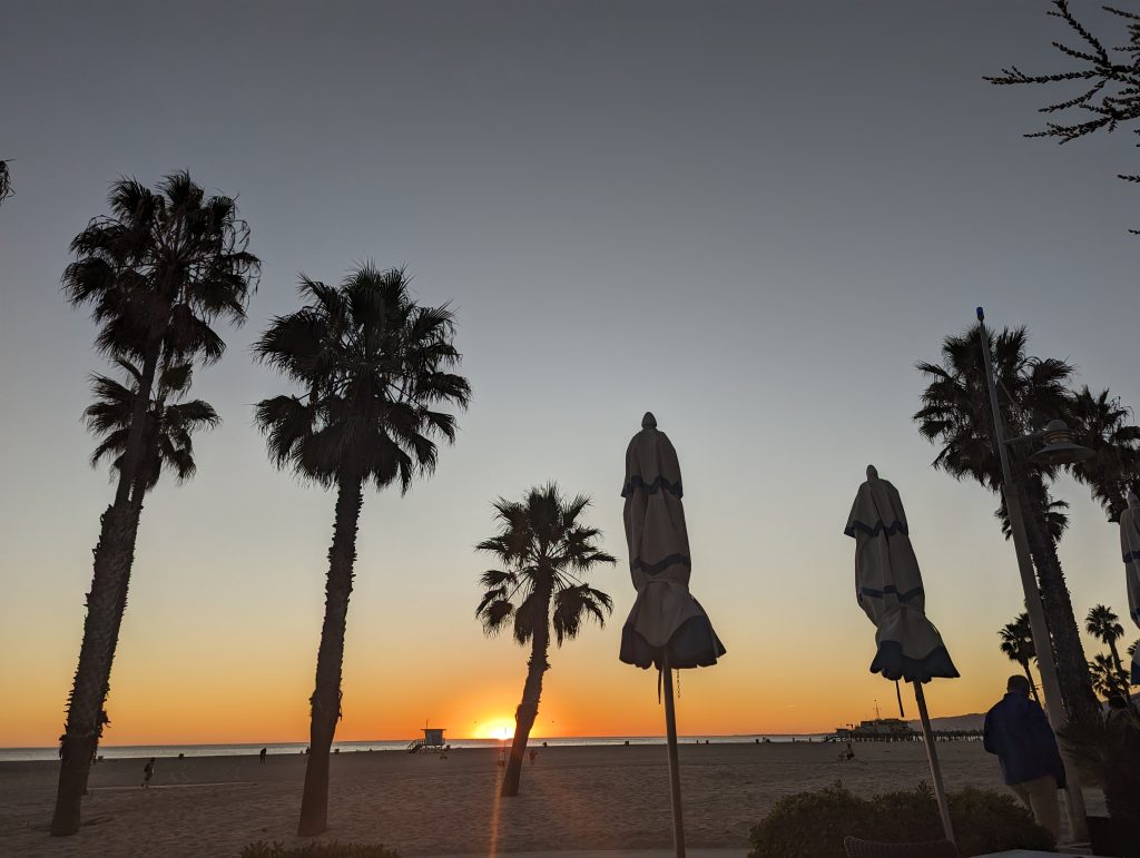
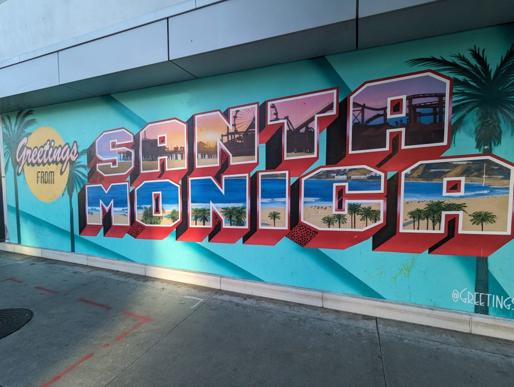
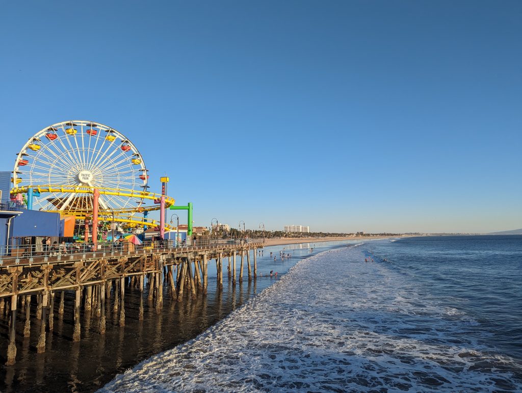
- It really is beautiful: the palm-lined beach runs along the bay in both directions and the wooden pier leads out to sea in between.
- There is a Ferris wheel, a roller coaster, several funfair stands and lots of food and drink stalls.
- We also discover are lots of Route 66 signs and references: People even queue up in front of one sign to take a photo with it! It’s a good thing we took our finisher photo at the original end.
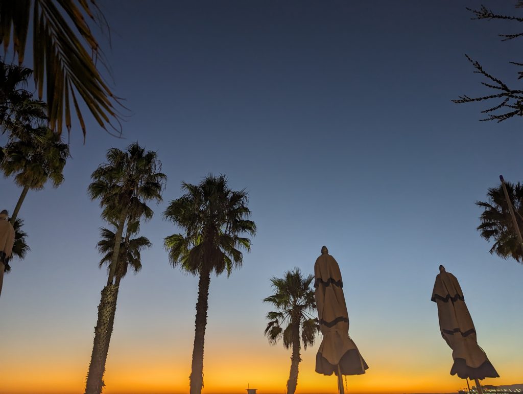
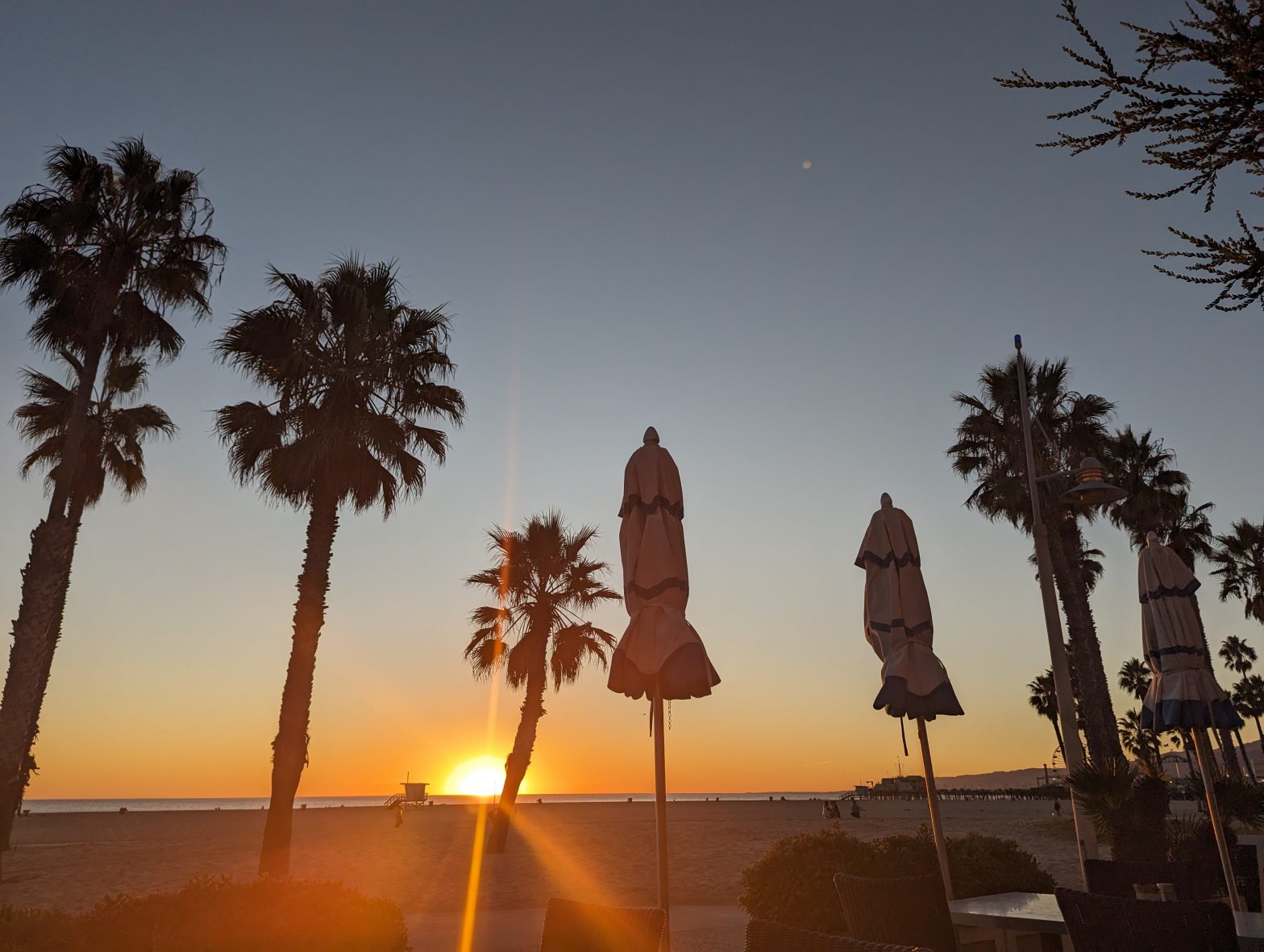
- By now it’s not that long until sunset and the pier is correspondingly crowded.
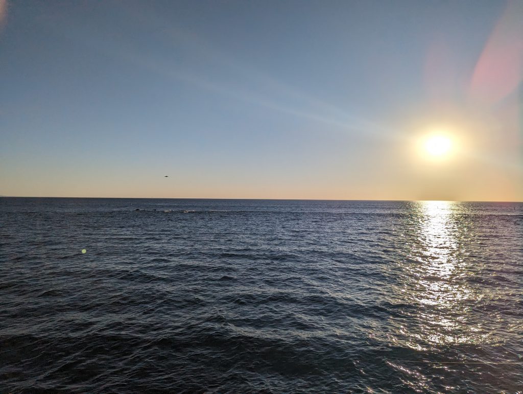
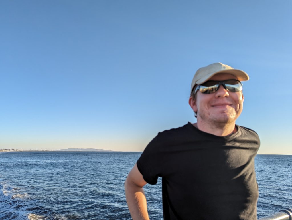
- Nevertheless, we walk to the very front and admire the view of the seemingly endless Pacific Ocean stretching out before us.
- Then we set off in search of a café from where we can watch the sunset in peace and quiet, and although we don’t find a café, we do find a restaurant.
- There we get a great seat with a view of the palm trees, beach and sea and the setting sun. We order – stupidly, because we still have some food left – calamari and octopus.
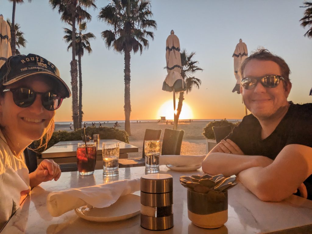
- We don’t regret it though, because the food is delicious – and that’s saying something after we were recently spoiled with really tasty calamari and octopus from Greece!
- We chill out contentedly in the restaurant, enjoy the view of the sunset and are delighted to have such a great end to Route 66!